Higashikurume, Tokyo

Higashikurume, Tokyo

Japanese city
Name=Higashikurume
JapaneseName=東久留米市
Prefecture=Tokyo
Region=Kantō
Area_km2=12.92
Population=113,809
PopDate=2003
Density_km2=8808
Coords=
LatitudeDegrees= 35
LatitudeMinutes= 45
LatitudeSeconds=
LongtitudeDegrees= 139
LongtitudeMinutes= 32
LongtitudeSeconds=
Postal code=
Area code=
Mayor =
Tree =
Flower =
Bird =
Symbol

CityHallPostalCode =
CityHallAddress=
CityHallPhone=
CityHallLink= [http://www.city.higashikurume.lg.jp/ Higashikurume] | City
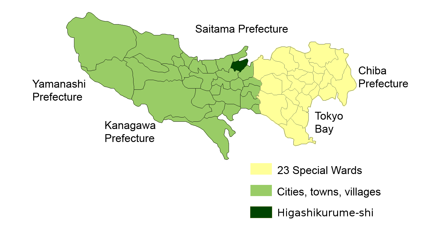


Elevation=

Higashikurume (東久留米市; -shi) is a city located in Tokyo, Japan.

As of 2003, the city has an estimated population of 113,809 and the density of 8,808.75 persons per km². The total area is 12.92 km².

The city was founded on October 1, 1970.

The Seibu Ikebukuro Line connects Higashikurume to nearby Tokorozawa, Saitama in one direction and the Ikebukuro district of Tokyo in the other direction.

Higashikurume is the site for Tokyo Gakugei University's International Student Dormitory, as well as the Christian Academy in Japan.

Transportation

Rail

Seibu Railway Company
*Train Line:
**Seibu Ikebukuro Line
*Train Station:
**Higashi-Kurume Station

Education

Higashikurume operates public elementary and junior high schools.

Tokyo Metropolitan Government Board of Education operates public high schools.
* Kurume High School [http://www.kurume-h.metro.tokyo.jp/]
* Kurume West High School [http://www1.kurumenishi-h.metro.tokyo.jp/]
* Higashikurume Sogo High School [http://www.higashikurume-sogo-h.metro.tokyo.jp/]

ee also

References

External links

* [http://www.city.higashikurume.lg.jp/ Higashikurume official website] in Japanese


Wikimedia Foundation. 2010.

Игры ⚽ Нужна курсовая?

Look at other dictionaries:

  • Higashikurume (Tokio) — 東久留米市 Higashikurume …   Wikipedia Español

  • Higashikurume — (東久留米市, Higashikurume shi) est une ville (市, shi) de la Préfecture de Tōkyō, au Japon. La ville a été fondée le 1er octobre 1970. La population de la ville est de 114 573 habitants pour une superficie de 12,92 km² (2005). Liens externes (ja) Site …   Wikipédia en Français

  • Tokyo-to — Tōkyō Pour les articles homonymes, voir Tokyo (homonymie). Préfecture de Tōkyō · 東京都 Tōkyō to Carte du Japon avec la Pr …   Wikipédia en Français

  • Tôkyô — Tōkyō Pour les articles homonymes, voir Tokyo (homonymie). Préfecture de Tōkyō · 東京都 Tōkyō to Carte du Japon avec la Pr …   Wikipédia en Français

  • Tōkyō — Pour les articles homonymes, voir Tokyo (homonymie). Préfecture de Tōkyō · 東京都 Tōkyō to Carte du Japon avec la Pr …   Wikipédia en Français

  • Tokyo Metropolitan Government Board of Education — The Tokyo Metropolitan Government Board of Education (東京都教育委員会 Tōkyō to Kyōiku Iinkai ) is the board of education in Tokyo, Japan. The board manages the individual school systems within the metropolis. The board also directly manages all of the… …   Wikipedia

  • Tokyo — For other uses, see Tokyo (disambiguation). Tokyo 東京   Metropolis   東京都 · Tokyo Metropolis …   Wikipedia

  • Tokyo — 35° 40′ 15″ N 139° 46′ 19″ E / 35.670724, 139.771907 …   Wikipédia en Français

  • Métropole de Tōkyō — Tōkyō Pour les articles homonymes, voir Tokyo (homonymie). Préfecture de Tōkyō · 東京都 Tōkyō to Carte du Japon avec la Pr …   Wikipédia en Français

  • Prefecture de Tokyo — Tōkyō Pour les articles homonymes, voir Tokyo (homonymie). Préfecture de Tōkyō · 東京都 Tōkyō to Carte du Japon avec la Pr …   Wikipédia en Français

Share the article and excerpts

Direct link
Do a right-click on the link above
and select “Copy Link”