- Iyo, Ehime
Infobox City Japan
Name = Iyo
JapaneseName = 伊予市
Map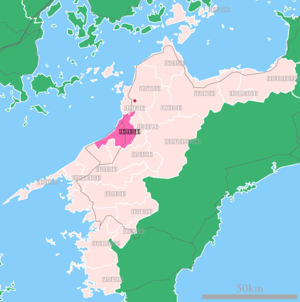
Region =Shikoku
Prefecture = Ehime
Area_km2 = 194.47
Population = 40,399
Density_km2 = 207.74
PopDate = February, 2007
Coords = coord|33|45|N|132|42|E|region:JP_type:city
Flower = Rapeseed blossom ("")
Tree = Metasequoia
Bird =
Symbol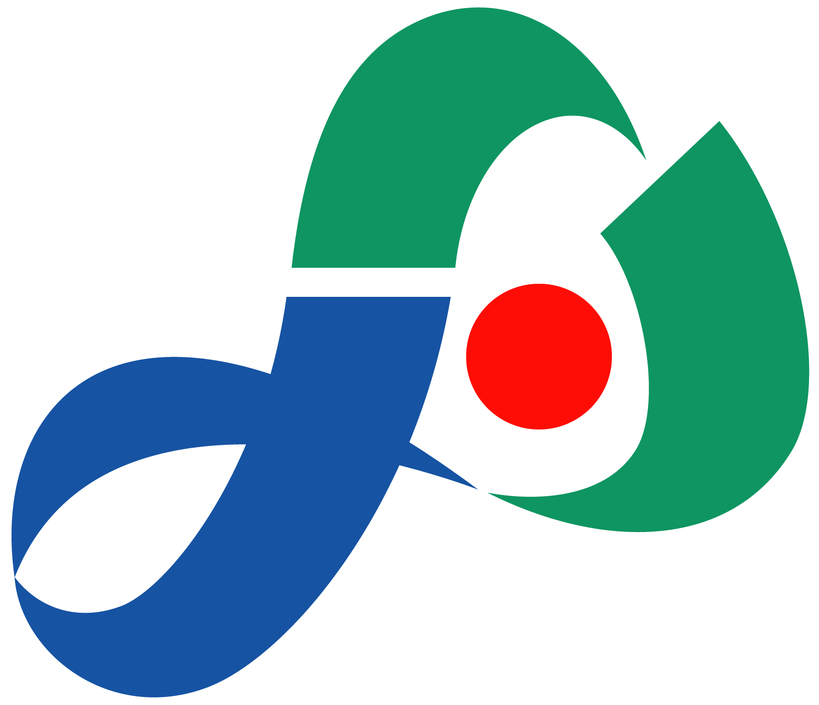
SymbolDescription = The seal of the city of Iyo, incorporating the red of the sunset of Futami, the green of Nakayama and the blue of the Iyo Sea
Mayor = Tasuku Nakamura
CityHallPostalCode = 799-3193
CityHallAddress = 820 Kominato, Iyo-shi, Ehime-ken
CityHallPhone = 089-982-1111
CityHallLink = [http://www.city.iyo.ehime.jp/ City of Iyo] |nihongo|Iyo|伊予市|Iyo-shi is a city located in Ehime,Japan .On
April 1 ,2005 , Iyo merged with the towns of Nakayama and Futami from the surrounding Iyo District to form the new city of Iyo, raising its population to over 40,000 and nearly quadrupling its area.Geography
Iyo is situated in the center of Ehime, approximately 10 kilometers southwest of the prefectural capital of Matsuyama. The western portion of the city, from Gunchū in the north down to Futami's Shimonada in the south, hug the coast of the
Inland Sea , nestled in the southwestern section of the Dogo Plain. The southestern portion of the city enters into the mountains in the interior of the prefecture, and the Nakayama area in particular is quite mountainous.Nearby cities and towns
*Masaki to the north
*Tobe to the east
*Uchiko and Ōzu to the southHistory
While archaeological artifacts show that the Iyo area has been settled since at least as far back as the
Yayoi period (300 BC to 250 AD), the origins of the present city of Iyo can be traced back to the year 1635, when the Matsuyama han ceded the territory including Iyo to the Ōzu han. The port at Gunchū, the heart of present-day Iyo, became the main commercial port for the Ōzu han and the surrounding community flourished.*
January 1 ,1955 — The town of Gunchū merged with the villages of Kita-yamasaki, Minami-yamasaki and Minami-iyo to form the first incarnation of the city of Iyo.
*April 1 ,2005 — The city absorbed the neighboring towns of Nakayama and Futami from the surrounding Iyo District.Economy
Iyo houses the national headquarters for Marutomo and Yamaki, food manufacturing companies that specialize in dried Bonito flakes. Other main products include
mikan and Nakayamachestnut s and other fruits and vegetables. In addition, Futami has had some success in making its sunset a local tourist draw, creating a seaside park, a sunset museum and an annual sunset concert at itsShimonada Station .Transportation
Rail
Iyo is served by the Yosan and Uchiko lines of
JR Shikoku and the Gunchū line of the Matsuyama commuter railway system run by the Iyo Railway Company.The Yosan Line runs follows the coastline, running from
Torinoki Station in the north throughIyoshi Station , the main station serving pre-merger Iyo,Mukaibara Station , thenKonokawa Station ,Iyo-Kaminada Station ,Shimonada Station andKushi Station in Futami before running into Ōzu. Nakayama is served by the Uchiko line, which diverges from theYosan Line at Mukaibara and continues onIyo-Ohira Station andIyo-Nakayama Station before entering Uchiko and eventually rejoining theYosan Line in Ōzu. Limited express trains stop regularly atIyoshi Station and occasionally atIyo-Nakayama Station .The stations on Iyo Railway Company's Gunchū line within the city of Iyo are Shinkawa Station, Gunchū Station and the terminal station, Gunchūkõ, which is directly across the street from
Iyoshi Station onJR Shikoku 'sYosan Line .Road
The
Matsuyama Expressway 's Iyo exit provides access to the Matsuyama International Airport and runs through the center of the city, as does Route 56 linking Matsuyama to Ōzu. Route 378, running from downtown Iyo through Futami and towards Nagahama, is a scenic coastal road.External links
* [http://www.city.iyo.ehime.jp/ Iyo official website] in Japanese

Wikimedia Foundation. 2010.