Kitakami, Iwate

Kitakami, Iwate

Japanese city| Name = Kitakami
JapaneseName = 北上市| Region = Tohoku
Prefecture = Iwate
Area_km2 = 437.55 | Population = 93,323
PopDate = 2005
Density_km2 = 213.29
Mayor = Akira Itou
Coords=
LatitudeDegrees= 39
LatitudeMinutes= 17
LatitudeSeconds=
LongtitudeDegrees= 141
LongtitudeMinutes= 7
LongtitudeSeconds=
Flower = White Lily
Tree = Sakura
Symbol
!border
SymbolDescription= Flag
CityHallPostalCode = 024-8501
CityHallAddress=Kitakami-shi, Yoshi-cho 1-1
CityHallPhone=0197-64-2111
CityHallLink = [http://www.city.kitakami.iwate.jp/ Kitakami City] | City


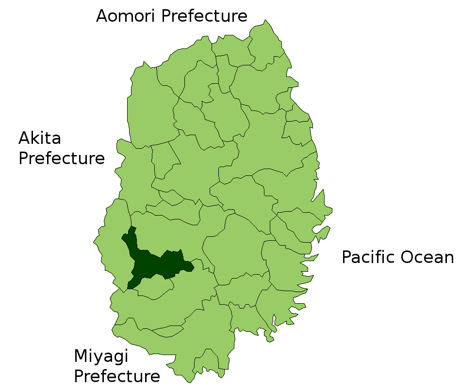
nihongo|Kitakami|北上市|Kitakami-shi is a city located in Iwate Prefecture on the main island of Japan.

History

The first city of Kitakami was founded on April 1, 1954.The current and the second city of Kitakami was founded on April 1, 1991 when the first city merged with the villages of Ezuriko and Waga (both from Waga District).

Sightseeing

The city is famous for the sakura that bloom in Tenshochi Park, which is regarded as one of the hundred best places in Japan to view cherry blossoms.Another hallmark of the city is Oni Kenbai, a traditional sword dance where the dancers dress as demons, performed during summer festivals.

Demographics

As of August 2005, the city had an estimated population of 93,323, and a density of 213.29 persons per square kilometre. The total area is 437.55 km².

Transportation

Kitakami is located on the Tōhoku Shinkansen and the Tōhoku Main Line, both operated by East Japan Railway Company (JR East) connecting Tokyo and Aomori Prefecture.

ister cities

* Concord, California in the United States
* Shibata, Miyagi Prefecture in Japan
* Sanmenxia, Henan Province in the People's Republic of China

External links

* [http://www.city.kitakami.iwate.jp/ Kitakami official website]
* [http://www.city.kitakami.iwate.jp/main.asp?fl=list&id=1000014871&clc=1000014860/ Kitakami official website]


Wikimedia Foundation. 2010.

Игры ⚽ Нужна курсовая?

Look at other dictionaries:

  • Kitakami — shi 北上市 Geographische Lage in Japan …   Deutsch Wikipedia

  • Kitakami Station — Nihongo|Kitakami Station|北上駅|Kitakami Eki is a railway station of the JR East. It is located in Kitakami, Iwate, Japan. Lines *JR East **Tōhoku Shinkansen **Tōhoku Main Line **Kitakami Line Station structure The station has two platforms with… …   Wikipedia

  • Kitakami Line — The Kitakami Line (北上線) is a rail line in Japan. Part of the East Japan Railway Company (JR East) system, it runs from Kitakami Station in Kitakami, Iwate Prefecture to Yokote Station in Yokote, Akita Prefecture, acting as a connecting line… …   Wikipedia

  • Kitakami (Fluss) — Kitakami Ansicht des FlussesVorlage:Infobox Fluss/KARTE fehlt DatenVorlage:Infobox Fluss/GKZ fehlt …   Deutsch Wikipedia

  • Iwate-gun (Iwate) — Iwate (jap. 岩手郡, gun) ist ein Landkreis in der japanischen Präfektur Iwate. Am 1. Januar 2008 umfasste der Landkreis eine Fläche von 1.586,87 km²; die geschätzte Einwohnerzahl betrug 95.522, die Bevölkerungsdichte mithin circa… …   Deutsch Wikipedia

  • Kitakami-gawa — Vorlage:Infobox Fluss/LAGE fehltVorlage:Infobox Fluss/DGWK fehltVorlage:Infobox Fluss/QUELLHÖHE fehltKoordinaten fehlen! Hilf mit.Vorlage:Infobox Fluss/MÜNDUNGSHÖHE fehltVorlage:Infobox Fluss/HÖHENUNTERSCHIED fehltVorlage:Infobox… …   Deutsch Wikipedia

  • Iwate Prefecture — Infobox Prefecture Japan Name = Iwate JapaneseName = 岩手県 Rōmaji = Iwate ken Symbol = PrefSymbol Iwate.png Capital = Morioka Region = Tohoku Island = Honshū TotalArea = 15,278.40 AreaRank = 2nd PCWater = 0.1 PopDate = November 1, 2006 Population …   Wikipedia

  • Kitakami-sammyaku — ▪ mountains, Japan       (Japanese: Kitakami Range), mountain range, in northeastern Honshu, Japan, paralleling the Pacific coast and extending for about 155 mi (250 km) from southern Aomori Prefecture, through Iwate and Miyagi prefectures, to… …   Universalium

  • Iwate-Erdbeben 2008 — Vorlage:Infobox Erdbeben/Wartung/Tsunami fehltVorlage:Infobox Erdbeben/Wartung/Sachschaden fehlt Iwate Miyagi Nairiku Erdbeben 2008 …   Deutsch Wikipedia

  • Iwate, Iwate — nihongo|Iwate|岩手町|Iwate machi is a town located in Iwate District, Iwate, Japan, 40° latitude.As of 2003, the town had an estimated population of 18,264 and a density of 46.36 persons per km². The total area is 360.55 km².Built at the source of… …   Wikipedia

Share the article and excerpts

Direct link
Do a right-click on the link above
and select “Copy Link”