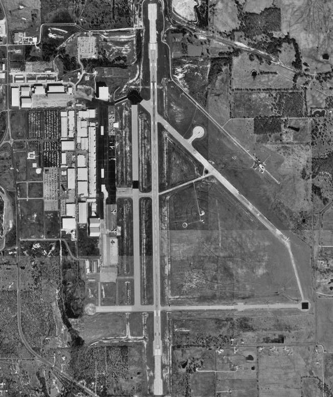
- Majors Airport (Texas)
Infobox Airport
name = Majors Airport
nativename =
nativename-a =
nativename-r =

image-width =
caption =
IATA = GVT
ICAO = KGVT
type = Public
owner =
operator = City of Greenville
city-served =
location = Greenville, Texas
elevation-f = 535
elevation-m = 163
coordinates = Coord|33|04|04.220|N|96|03|55.197|W|type:airport|display=inline,title
website =
metric-elev =
metric-rwy =
r1-number = 17/35
r1-length-f = 8,030
r1-length-m = 2,447
r1-surface = Asphalt
stat-year =
stat1-header =
stat1-data =
stat2-header =
stat2-data =
footnotes =Majors Airport airport codes|GVT|KGVT is an airport located in
Greenville, Texas . The airport has one runway.Majors Airport, originally named Majors Field, is mostly used for general aviation, but is also home to an
L-3 Communications facility that is used to modify aircraft.History
Majors Airport, named for Truett Majors, the first
Hunt County native to perish inWorld War II , began operations onJune 26 ,1942 , as a training center for theUnited States Army Air Forces . Greenville was chosen as a site for the USAAF flight-training center due to the efforts of the influential politicianSam Rayburn . The airport was at one point the home to approximately 5,000 pilots, support personnel, and civilian employees. In addition to training United States Army pilots, the airfield was the training site forEscuadrón 201 of theMexican Air Force . The training center was closed after the defeat ofGermany in July1945 ; the city of Greenville then took ownership of the property, then leased the site toTEMCO (later L-3 Communications).See also
*
Texas World War II Army Airfields References
* Thole, Lou (1999), Forgotten Fields of America : World War II Bases and Training, Then and Now - Vol. 2. Publisher: Pictorial Histories Pub, ISBN 1575100517
External links
* [http://www.ci.greenville.tx.us/city%5Fgovernment/community%5Frelations/municipal%5Fairport/ Majors Airport Homepage]
*
Wikimedia Foundation. 2010.
