Aytos Point

Aytos Point
Location of Livingston Island in the South Shetland Islands.
Aytos Point

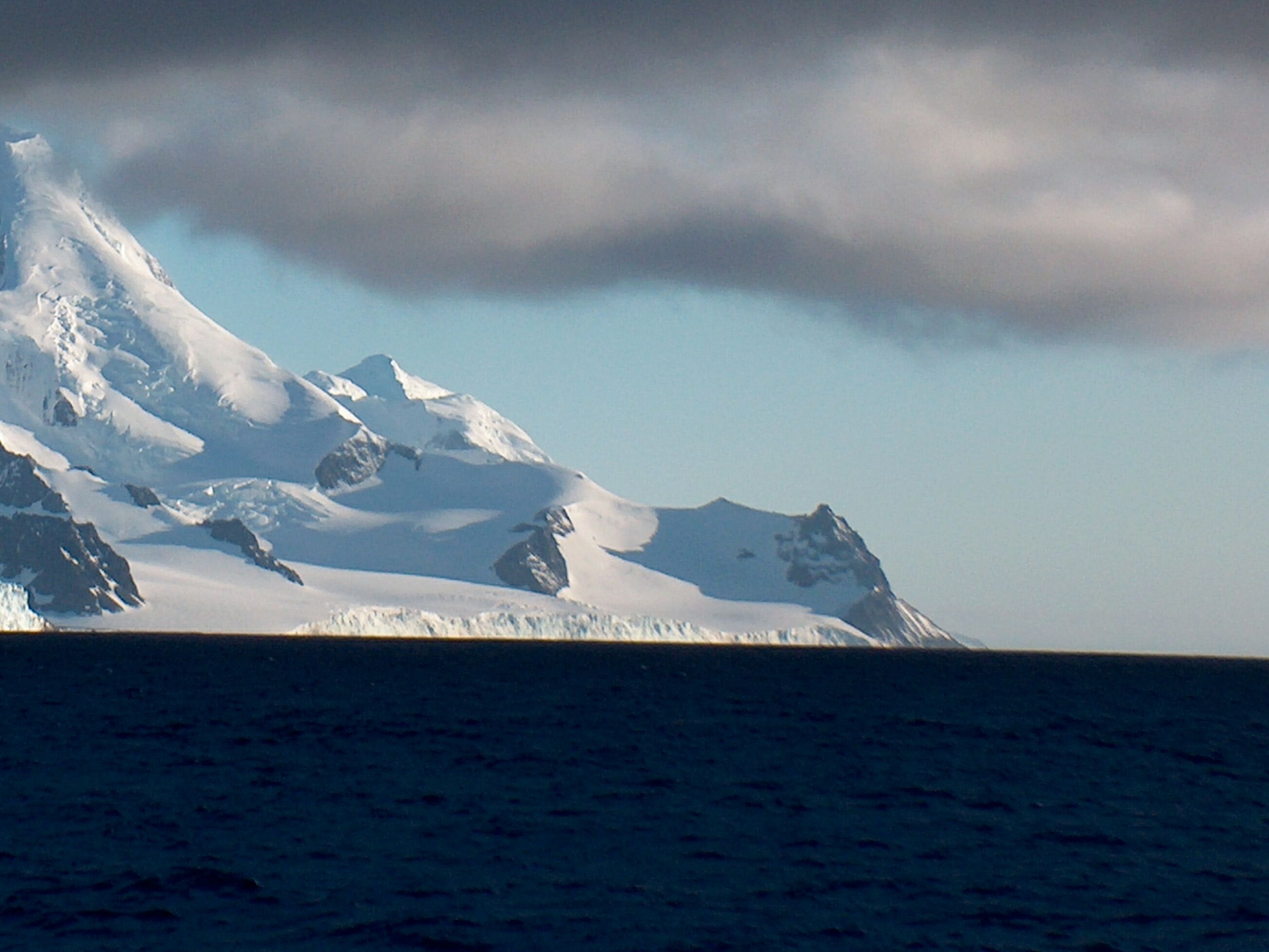
Aytos Point (Nos Aytos \'nos 'ay-tos\) is a point on the coast of Bransfield Strait, Livingston Island, Antarctica formed by an offshoot of Christoff Cliff. The point was named after the Bulgarian town of Aytos.

Contents

Location

Aytos Point is located at 62°42′23.5″S 60°02′59.5″W / 62.706528°S 60.049861°W / -62.706528; -60.049861 which is 5.57 km east by north east of Samuel Point and 2.53 km southwest of M'Kean Point.

The point was mapped by the UK Directorate of Overseas Surveys in 1968, and by Bulgaria in 2005 and 2009.

See also

Maps

External links

This article includes information from the Antarctic Place-names Commission of Bulgaria which is used with permission.


Wikimedia Foundation. 2010.

Игры ⚽ Нужен реферат?

Look at other dictionaries:

  • Samuel Point — (Nos Samuil nos sa mu il) is on the coast of Bransfield Strait forming the southwest side of the entrance to Brunow Bay, Livingston Island, Antarctica. The point is surmounted by Needle Peak (370 m), a conspicuous offshoot of Friesland Ridge.The… …   Wikipedia

  • Vazov Point — is a point on the coast of Bransfield Strait forming the northeast side of the entrance to Brunow Bay on Livingston Island in Antarctica. This landmark is 2.4 km northeast of Samuel Point and 3.3 km West by South of Aytos Point, and is surmounted …   Wikipedia

  • Aitos — ( bg. Айтос, Thracian: Aetós ), sometimes written Aytos and Ajtos, is a town located in eastern Bulgaria some 15 kilometers from the Bulgarian Black Sea Coast and belonging to the administrative boundaries of Burgas Province. History Aitos has a… …   Wikipedia

  • List of Bulgarian toponyms in Antarctica — Bulgarian toponyms in Antarctica are approved by the Antarctic Place names Commission in compliance with its Toponymic Guidelines , and formally given by the President of the Republic according to the Bulgarian Constitution and the established… …   Wikipedia

  • Vazov Rock — is a rocky peak on Vazov Point, with an elevation of over 200 meters on eastern Livingston Island, Antarctica. This feature extends approximately 300 meters in a northwest to southeastern direction, linked by a saddle to Peshev Ridge, whose… …   Wikipedia

  • Balchik Ridge — (Balchishki Rid al chish ki rid) is a 1.3km long narrow ridge in Livingston Island, South Shetland Islands, Antarctica with a highest point of 550m. The ridge adjoins the col linking Silistra Knoll and Peshev Ridge and surmounts Boyana Glacier… …   Wikipedia

  • Boyana Glacier — (Lednik Boyana led nik bo ya na) is located to the east of Peshev Ridge, to the south of Silistra Knoll and to the southwest of Serdica Peak in Livingston Island. The glacier flows southeastward into the Bransfield Strait between Vazov Point and… …   Wikipedia

  • Srebarna Glacier — (Lednik Srebarna led nik sre bar na) in Livingston Island, Antarctica flows SE of the Great Needle Peak and Serdica Peak to enter Bransfield Strait between Aytos Point and M’Kean Point. It is named after Srebarna Lake in northeastern… …   Wikipedia

  • Christoff Cliff — Location of Livingston Island in the South Shetland Islands. Chri …   Wikipedia

  • Serdica Peak — (Vrah Serdica vr h ser di ka) rises to approximately 1,200 m in Levski Ridge, Tangra Mountains, Livingston Island, Antarctica.Serdica is the ancient name of Sofia, Bulgaria.LocationThe peak is located at coord|62|40|55|S|60|03|55|W| which is 1.4… …   Wikipedia

Share the article and excerpts

Direct link
Do a right-click on the link above
and select “Copy Link”