Pacific Fair Bus Station, Queensland
- Pacific Fair Bus Station, Queensland
TL Bus Station
station_name=Pacific Fair
region=Gold Coast
street=Hooker Boulevard
suburb=Broadbeach
zone=14/15
stands=4 plus Gold Coast Highway stops
routes=21
trainconnect=no
pnr=yes
phones=yes
toilets=yes
disabled=yes
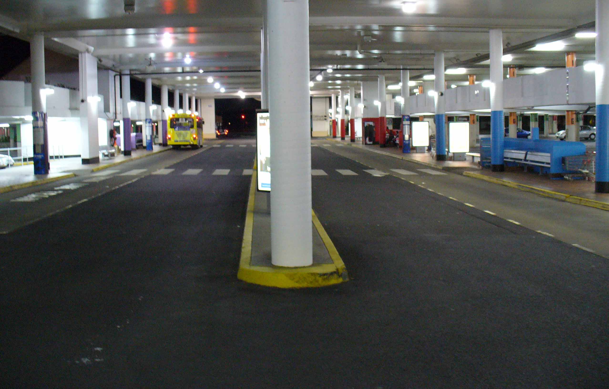
The Pacific Fair Bus Station, at Broadbeach, is serviced by TransLink bus routes. It is part of the Pacific Fair Shopping Centre and is close to Conrad Jupiters and the Gold Coast Convention and Exhibition Centre.
It is the main bus interchange for the southern areas of the Gold Coast. It is in a transition precinct between Zone 14 and Zone 15 of the TransLink integrated public transport system.
=TransLink bus routes servicing Pacific Fair Bus Station=
Bus Interchange (off Hooker Boulevard)
Stop A (Highway Northbound)
*TL Route Display | 704
*TL Route Display | 706
*TL Route Display | 707
*TL Route Display | 709
*TL Route Display | 745
*TL Route Display | 750
*TL Route Display | TX2
Stop B (Highway Southbound)
*TL Route Display | 704
*TL Route Display | 706
*TL Route Display | 707
*TL Route Display | 750
*TL Route Display | 752
*TL Route Display | 760
Stop C
*TL Route Display | 738
*TL Route Display | 756
*TL Route Display | 757
*TL Route Display | 4
*TL Route Display | 5
*TL Route Display | 18
*TL Route Display | 20
*TL Route Display | 20A
Stop D
*TL Route Display | 745
Additional Gold Coast Highway services
*TL Route Display | 700
*TL Route Display | 702
*TL Route Display | 703
*TL Route Display | TX1
For an informal but complete listing of TransLink bus routes, see the following list of TransLink services. For accurate bus timetables and route maps, see the [http://www.translink.com.au/qt/TransLin.nsf/index/busservices TransLink Bus Services website] .
TransLink bus navigation
Wikimedia Foundation.
2010.
Look at other dictionaries:
Noosa Heads bus station — Noosa Heads … Wikipedia
Chermside bus station — Station statistics Address Gympie and Hamilton Roads, Chermside Coordinates … Wikipedia
List of South East Queensland bus stations — The following is a list of bus and busway stations which have been built or are under construction in and around Brisbane and South East Queensland, Australia.Busway stations in Brisbane =Boggo Road Busway (proposed) = *University of Queensland… … Wikipedia
Transport on the Gold Coast, Queensland — The Gold Coast has a wide range of public and private Transport options from cars and bikes to buses, rail and monorail. The car is the dominant mode of transport for Gold Coast but with the increasing population that leads to more traffic… … Wikipedia
Surfside Buslines — TL Operator operator name=Surfside Buslines brand=Surfside buslines brand.svg operatortype=bus servicearea=Gold Coast hubs=Australia Fair,Pacific Fair Tweed Heads depots=Ernest, Tweed Heads zones=8 19, 39 49/52 55 for Tweed routes=40 for Gold… … Wikipedia
Disasters — ▪ 2009 Introduction Aviation January 23, Poland. A Spanish built CASA transport plane carrying members of the Polish air force home from a conference on flight safety in Warsaw crashes near the town of Miroslawiec; all 20 aboard are killed … Universalium
Hyderabad, India — This article is about the city in India. For its namesake district, see Hyderabad district, India. Hyderabad హైదరాబాద్ حیدر آباد The City of Pearls metropolitan city … Wikipedia
The Myer Centre, Brisbane — corner of Albert and Elizabeth Streets The Myer Centre is located between the Queen Street Mall and Elizabeth Street in Brisbane, Queensland, Australia. It is an nine floor shopping complex which includes Queensland s largest Myer department… … Wikipedia
Centro Toombul — Location Toombul, Brisbane Australia Coordinates 27°24′30″S 153°03′40″E / … Wikipedia
December 2010 — was the twelfth month of that year. It began on a Wednesday and ended after 31 days on a Friday. Portal:Current events This is an archived version of Wikipedia s Current events Portal from December 2010 … Wikipedia