Meiganga — 6° 31′ 00″ N 14° 18′ 00″ E / 6.51667, 14.3 … Wikipédia en Français
Meiganga — Original name in latin Meganga Name in other language Meiganda, Meiganga, Mejgange, Meganga, Мейганге State code CM Continent/City Africa/Douala longitude 6.51667 latitude 14.3 altitude 970 Population 80100 Date 2012 01 16 … Cities with a population over 1000 database
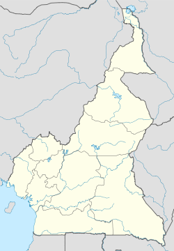
Adamawa Province — Geobox|Province name = Adamawa country = Cameroon country capital = Ngaoundéré map caption = Location of Adamawa within Cameroon coordinates type = adm1st lat d = |lat m = |lat NS = N long d = |long m = |long EW = E area = 63691 population =… … Wikipedia
Mbere — Mbéré Mbéré Département du Cameroun … Wikipédia en Français
Mbéré — Administration Pays Cameroun … Wikipédia en Français
Мбере (департамент) — У этого термина существуют и другие значения, см. Мбере. Мбере фр. Mbéré Страна … Википедия
List of municipalities of Cameroon — Map of Cameroon Douala City Centre … Wikipedia
List of Cameroon-related articles — Articles (arranged alphabetically) related to Cameroon include: A *Patrice Abanda *Abbia (game) * *Théophile Abega *Hamadjoda Abjoudi *Abong Mbang *Accord de Cooperation Economique Monetaire et Financiere *Achirimbi II *Simon Achidi Achu *Act of… … Wikipedia
Ngaoundéré — Downtown Ngaoundéré with Mount Ngaoundéré in the distance … Wikipedia
South Cameroon Plateau — The South Cameroon Plateau or Southern Cameroon Plateau ( fr. Plateau Sud Camerounais) is the dominant geographical feature of Cameroon. The plateau lies south of the Adamawa Plateau and southeast of the Cameroon Range. It slopes south and west… … Wikipedia
 Meiganga
 Cameroon