- Woolloongabba Busway Station, Brisbane
TL Bus Station
station_name=Woolloongabba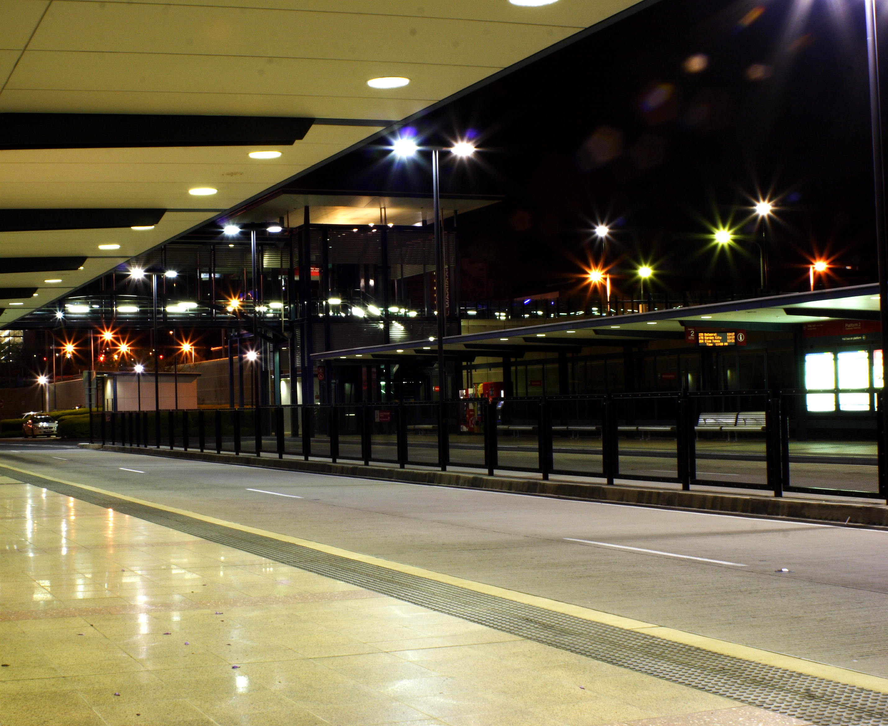
region=Brisbane East
suburb=Woolloongabba
zone=2
stands=2
routes=23
trainconnect=no
pnr=no
phones=yes
toilets=no
disabled=yes
busway1=South-East
IB1=Mater HillThe Woolloongabba Busway Station is part of the South-East Busway in
Brisbane , serviced by TransLink. It is on a spur from the main trunk route, with inbound services joining the busway proper at Mater Hill. It is adjacent to theBrisbane Cricket Ground , and in Zone 2 of the TransLink integratedpublic transport system.External links
* [http://www.transport.qld.gov.au/qt/PubTrans.nsf/index/WoolloongabbaBuswayStation Woolloongabba Busway Station information]
* [http://www.transport.qld.gov.au/qt/PubTrans.nsf/files/Woolloongabbastation.pdf/$file/Woolloongabbastation.pdf Woolloongabba Busway Station map] For an informal but complete listing of TransLink bus routes, see the following list of TransLink services. For accurate bus timetables and route maps, see the [http://www.translink.com.au/qt/TransLin.nsf/index/busservices TransLink Bus Services website] .Translink bus navigation
Bus routes servicing Woolloongabba Busway Station
Wikimedia Foundation. 2010.
Mater Hill Busway Station, Brisbane — TL Bus Station station name=Mater Hill region=Brisbane Central suburb=South Brisbane zone=1/2 stands=2 routes=40 trainconnect=no pnr=no phones=yes toilets=nearest at Mater Hospital) disabled=yes busway1=South East IB1=South Bank OB1=Woolloongabba … Wikipedia
Buranda railway station, Brisbane — Citytrain Station station name=Buranda region=Brisbane South servicearea1=Cleveland IB1=Park Road OB1=Coorparoo street=Logan Road suburb=Woolloongabba zone=2 distance=6.2 platforms=2 platform arch=2 side access=Logan Road trainconnect=no… … Wikipedia
Cultural Centre busway station — Cultural Centre Station statistics Address Melbourne Street, South Brisbane Coordinates … Wikipedia
Mater Hill busway station — Mater Hill Station statistics Address Water St, South Brisbane Lines … Wikipedia
Woolloongabba, Queensland — Woolloongabba Brisbane, Queensland Queensland versus Victoria in a one day cricket match at the B … Wikipedia
Park Road railway station, Brisbane — Citytrain Station station name=Park Road region=Brisbane South servicearea1=Cleveland servicearea2=Beenleigh servicearea3=Corinda via South Brisbane IB1=South Bank OB1=Buranda IB2=South Bank OB2=Dutton Park IB3=South Bank OB3=Dutton Park… … Wikipedia
South Bank Station, Brisbane (bus routes) — TransLink bus routes buses which pass near to South Bank Station*111N Valley Eight Mile Plains NightLink via South East Busway *200N Valley Carindale NightLink via South Bank, Old Cleveland Road and Carindale Heights *100 City Forest Lake… … Wikipedia
Brisbane central business district — Brisbane CBD Brisbane, Queensland Brisbane CBD from Kangaroo Point … Wikipedia
Brisbane Transport — TL Operator operator name = Brisbane Transport brand = Brisbane transport brand.svg operatortype = bus servicearea = Brisbane hubs = Queen Street, Carindale, Chermside, Garden City, and Indooroopilly depots = Bowen Hills, Carina, Garden City,… … Wikipedia
South-East Busway, Brisbane — SEQ Transit Lines line type = bus from = Brisbane central business district to = Eight Mile Plains (Rochedale) name = South East Busway line owner = Queensland Transport map colour = Teal line length = 16.5 stations number = 10 operator names =… … Wikipedia
Woolloongabba Busway Station, Brisbane
18+
© Academic, 2000-2025
- Contact us: Technical Support, Advertising
Dictionaries export, created on PHP, Joomla, Drupal, WordPress, MODx.