- 10th arrondissement of Paris
French municipal arrondissement
arrondissementnumber=10th
commune=Paris
caption=TheGare du Nord in the 10th arrondissement.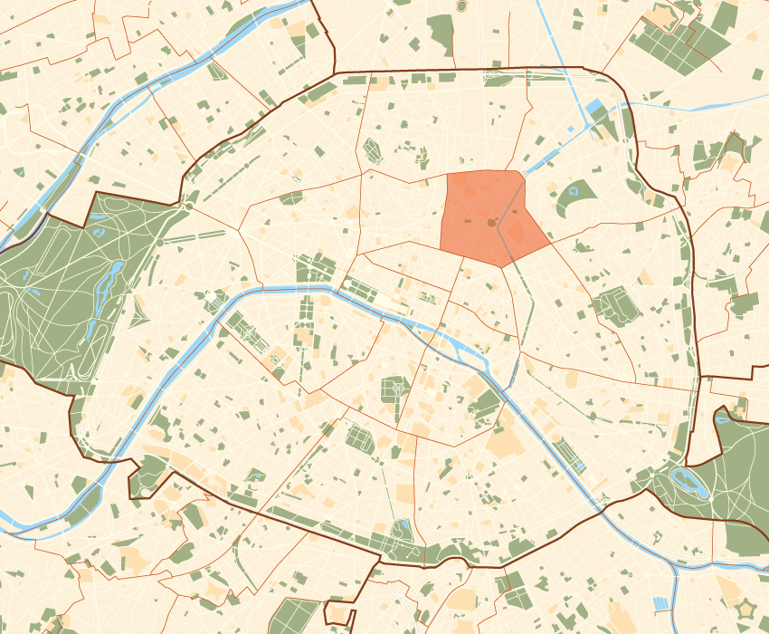
mapcaption=Paris and its closest suburbs
lat_long=
région=Île-de-France
département=Paris
maire=Tony Dreyfus
alt mini=|alt maxi=
km²=2.89
sans=
88,800
89,612
date-sans=July 1, 2005 estimate)
(March 8, 1999 census|dens=30,705|date-dens=2005|The 10th arrondissement of Paris is one of the 20 arrondissements (administrative districts) of the capital city of
France .Situated on the right bank of the
River Seine , the arrondissement contains two of Paris's six mainrailway station s: theGare du Nord and theGare de l'Est . Built during the19th century , these two termini are among the busiest in Europe.The 10th arrondissement also contains a large portion of the
Canal Saint-Martin , linking the northeastern parts of Paris with the River Seine.Geography
The land area of the arrondissement is 2.892 km² (1.117 sq. miles, or 715 acres).
Demography
The peak population of the 10th arrondissement occurred in 1881, when it had 159,809 inhabitants. Today, the arrondissement remains very dense in both population and business activity, with 89,612 inhabitants and 71,962 jobs at last census in 1999.
Historical population
Year
(of French censuses)Population Density
(inh. per km²)1872 135,392 46,848 1881 (peak of population)159,809 55,259 1954 129,179 44,699 1962 124,497 43,049 1968 113,372 39,202 1975 94,046 32,519 1982 86,970 30,073 1990 90,083 31,149 1999 89,612 30,986 2005 estimate88,800 30,705 Immigration
France immigration
collectivity_name=the 10th arrondissement
census_year=1999
metropolitan_France=70.4
outside_metropolitan_France=29.6
overseas_France=1.3
foreign_French=4.1
EU-15=4.4
non-EU-15=19.8Map
Cityscape
Places of interest
*
canal Saint-Martin
*gare de l'Est
*gare du Nord
*Musée de l'Éventail (Fan Museum)
*passage Brady
*passage du Prado
*porte Saint-Denis
*porte Saint-Martin
* Saint-Vincent-de-Paul church
* Saint-Laurent churchMains streets and squares
* Place de la République
*Boulevard de Magenta
*Boulevard de la Chapelle
*Rue du Faubourg-Poissonnière
*Place du Colonel-Fabien
*Boulevard de Strasbourg
*Rue du Faubourg-du-Temple
*Rue Claude-Vellefaux
*Rue des Petites Ecuries External links
* [http://www.tripfilms.com/Travel_Video-v133-Paris-Paris_10th_Arrondissement-Video.html Short documentary video about the 10th arrondissement]
Wikimedia Foundation. 2010.