- Dolná Ves
-
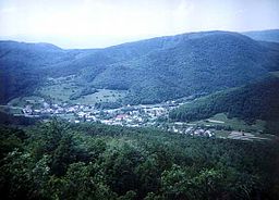
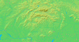
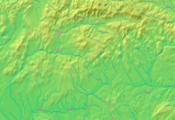
Dolná Ves Village Dolná Ves as seen from Ďurova SkalaCountry Slovakia Region Banská Bystrica District Žiar nad Hronom Coordinates 48°39′56″N 18°54′45″E / 48.66556°N 18.9125°E First mentioned 1429 Mayor Milan Pračko (independent) Timezone CET (UTC+1) - summer (DST) CEST (UTC+2) Postal code 967 01 Area code +421-45 Car plate ZH Wikimedia Commons: Dolná Ves Statistics: MOŠ/MIS Dolná Ves (before 1948(?): Šváb, older: Šváby; German: Schwabendorf; Hungarian: Sváb) is a village and municipality in Žiar nad Hronom District in the Banská Bystrica Region of central Slovakia. It is near the town of Kremnica.
The first written record about the village is from the year 1427 (Schwabendorff), when the village became the property of Kremnica. Dolná Ves was part of Kremnica in the Middle Ages and from 1808 to 1882. The village was founded by German colonists.
Gallery
-
Ďurova Skala, Kremnica Mountains
-
Jastrabská skala, Kremnica Mountains
External links
Kremnica · Žiar nad Hronom
Bartošova Lehôtka · Bzenica · Dolná Trnávka · Dolná Ves · Dolná Ždaňa · Hliník nad Hronom · Horná Ves · Horná Ždaňa · Hronská Dúbrava · Ihráč · Janova Lehota · Jastrabá · Kopernica · Kosorín · Krahule · Kremnické Bane · Kunešov · Ladomerská Vieska · Lehôtka pod Brehmi · Lovča · Lovčica-Trubín · Lúčky · Lutila · Nevoľné · Pitelová · Prestavlky · Prochot · Repište · Sklené Teplice · Slaská · Stará Kremnička · Trnavá Hora · Vyhne Categories:
- Villages and municipalities in Žiar nad Hronom District
- Banská Bystrica Region geography stubs
Wikimedia Foundation. 2010.


