- Deer Creek Dam and Reservoir
-
Deer Creek Reservoir 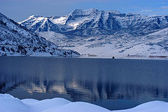
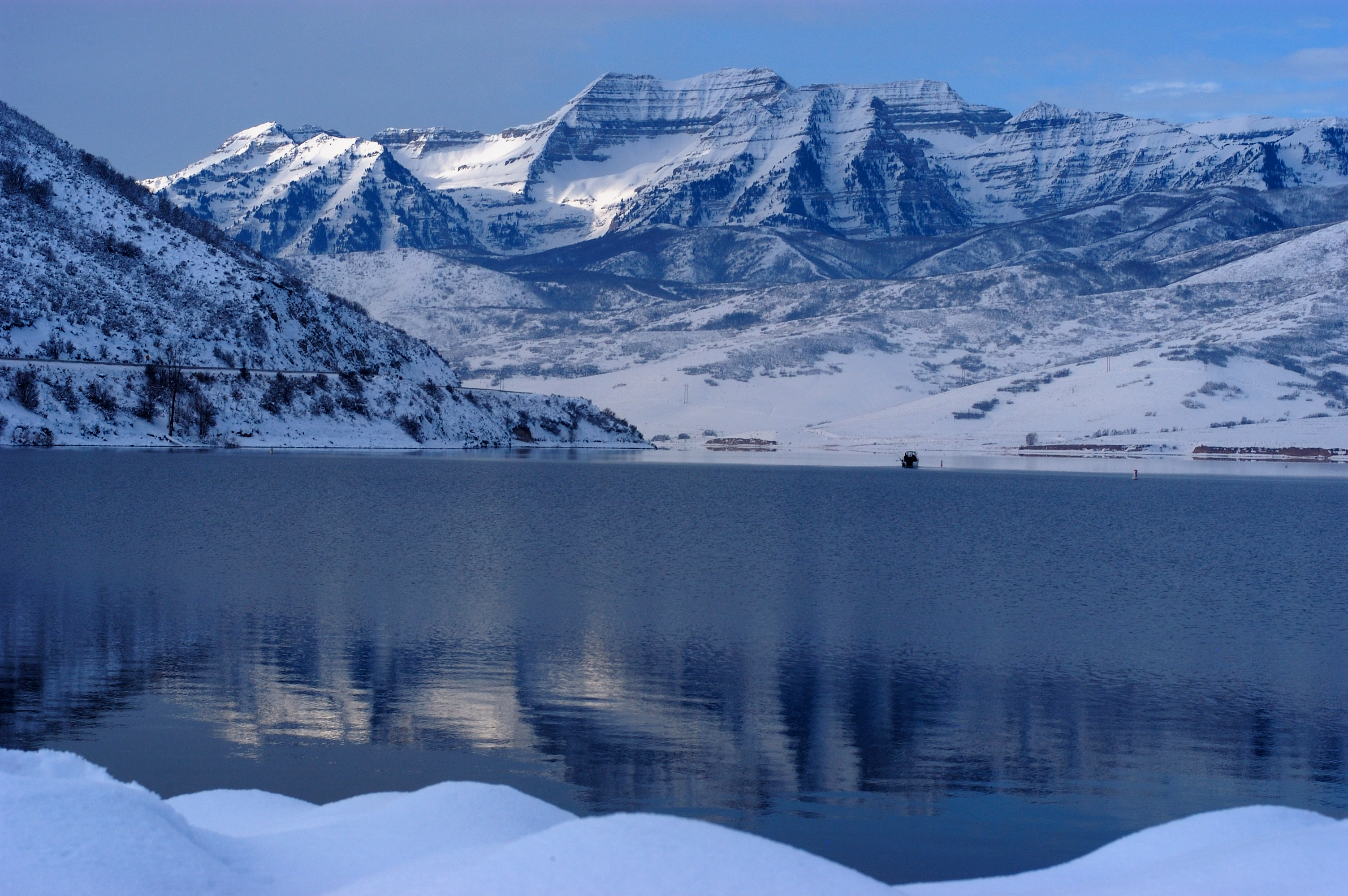
Location Wasatch County, Utah Coordinates 40°24′24″N 111°31′37″W / 40.40667°N 111.52694°WCoordinates: 40°24′24″N 111°31′37″W / 40.40667°N 111.52694°W Lake type reservoir Primary inflows Provo River Primary outflows Provo River Catchment area 1,870 km² Basin countries United States Surface area 12 km² (2,965 acres) Max. depth 42 m (137 ft) Residence time 1.3 year Surface elevation 1,651 m (5,417 ft) The Deer Creek Dam and Reservoir hydroelectric facilities are located on the Provo River in western Wasatch County, about 16 miles (26 km) northeast of Provo, Utah. The dam is a zoned earthfill structure 235 feet (72 m) high with a crest length of 1,304 ft (397 m). The dam contains 2,810,000 cubic yards (2,150,000 m³) of material and forms a reservoir of 152,570 acre foot (188,190,000 m3) capacity. Construction of the project began in May 1938 and was completed in 1941. The reservoir supplies water for agricultural, municipal and industrial use. Recreational activities on and around the reservoir include boating, fishing, camping, swimming and water skiing.
The Deer Creek Dam is the key structure of the Provo River Project managed by the U.S. Department of the Interior Bureau of Reclamation.
Deer Creek Reservoir is the main feature of Deer Creek State Park.
Deer Creek is home to several fish species, including Largemouth and Smallmouth Bass, Rainbow Trout, Brown Trout, Yellow Perch, Walleye and Common Carp.
References
- "Provo River Project". Retrieved Jan. 10, 2006.
- Report on Deer Creek ReservoirPDF (336 KiB) by the Utah Division of Water Quality
- Deer Creek Reservoir - UtahDiving.com
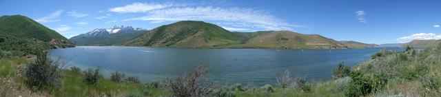
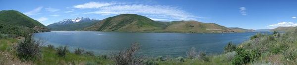 Deer Creek Reservoir panorama
 Categories:
- Dams in Utah
- Reservoirs in Utah
- Hydroelectric power plants in Utah
- Landforms of Wasatch County, Utah
- Buildings and structures in Wasatch County, Utah
- Visitor attractions in Wasatch County, Utah
Wikimedia Foundation. 2010.