Booragul railway station, New South Wales
- Booragul railway station, New South Wales
Cityrail Station alt|code=BGL|
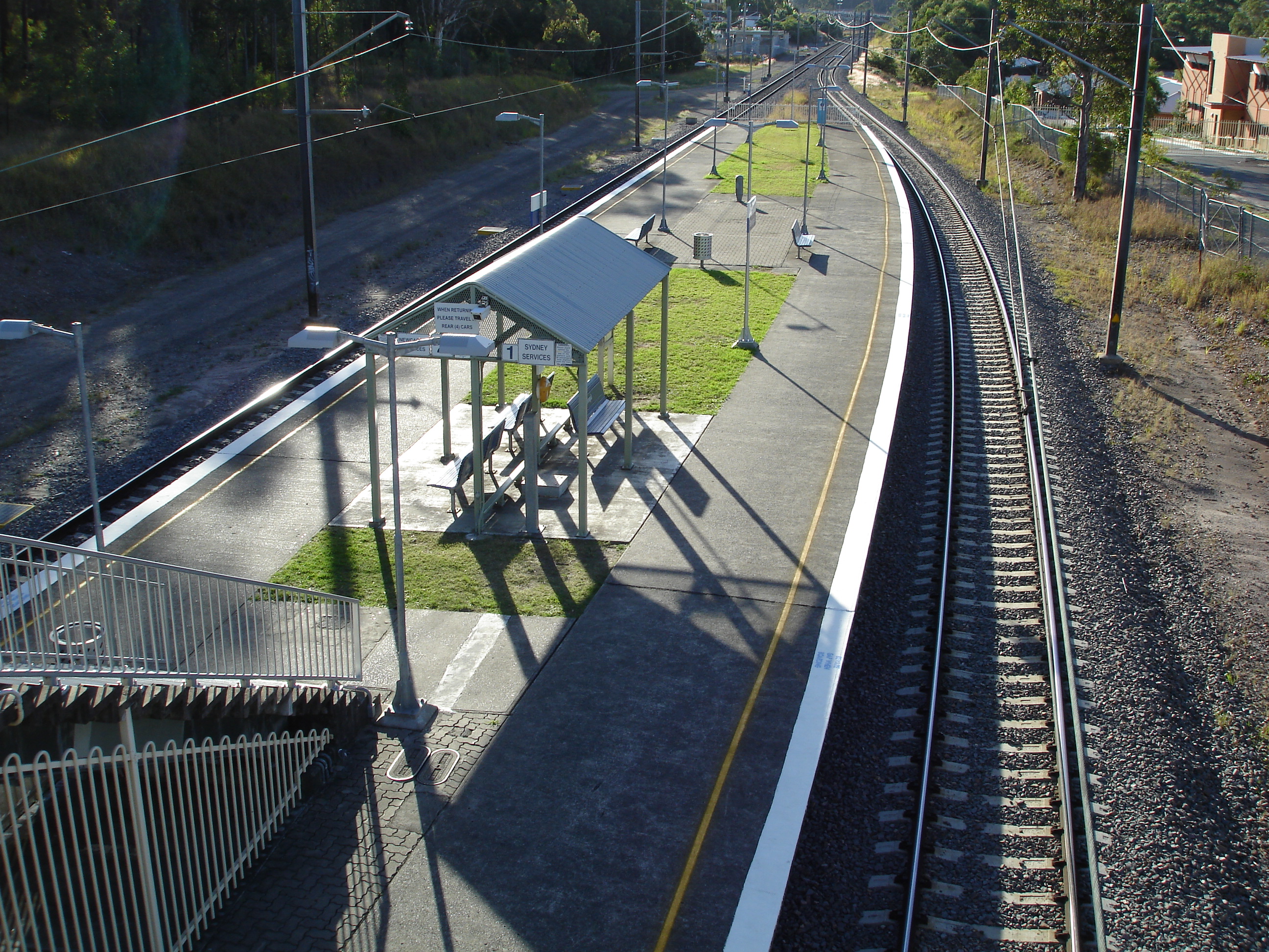
station_name=Booragul
servicearea=Newcastle & Central Coast Line|servicearea_color=#Newcastle line colour|servicearea_textcolor=white|suburb=Booragul|street=Station St|distance=146.39|altitude=?|traintype=Intercity
Suburban all stops|platforms=2|tracks=2|platform_arr=Island|stationtype=Ground|gates=No|connect=No|disabled=No
facilities= [http://www.cityrail.nsw.gov.au/facilities/facilities.jsp?n=38&giveOutput=true&facility= Link]
Booragul railway station is a train station located near Newcastle, New South Wales, Australia on the Newcastle & Central Coast Line.The station has two platforms. The station is served by intercity trains to Sydney and local trains to Morisset. It is located just south of Teralba railway station.
Platforms/Service
Platform 1:
*Newcastle and Central Coast line colour>Newcastle & Central Coast Line - local services to Morisset.
*Newcastle and Central Coast line colour>Newcastle & Central Coast Line - peak hour, weekend, late night and early morning intercity services to Gosford, Hornsby and Sydney Terminal (via Strathfield).
Platform 2:
*Newcastle and Central Coast line colour>Newcastle & Central Coast Line - local & intercity services to Newcastle.
ee also
Wikimedia Foundation.
2010.
Look at other dictionaries:
Newcastle railway station, New South Wales — For the main railway station in Newcastle upon Tyne, England, see Newcastle railway station. Newcastle … Wikipedia
Nundah railway station, New South Wales — Nundah is a closed station on the Main North railway line in New South Wales. It opened in 1952[1] on a new section of deviated track, and closed to passenger services in 1975. It was completely demolished after closure and no trace remains.… … Wikipedia
Main North railway line, New South Wales — For other railways called Main North Line, see Main North Line. For other railways called Great Northern, see Great Northern Railway. [v · d · … Wikipedia
New Lambton Heights, New South Wales — New Lambton Heights Newcastle, New South Wales Population: 1794 (2006 census) Postcode: 2305 Area: 2.7 km² (1 … Wikipedia
Booragul, New South Wales — Infobox Australian Place | type = suburb name = Booragul city = state = nsw caption = lga = City of Lake Macquarie postcode = 2284 pop = 1427 (2006 census) area = 1.2 est = 1829 parish = Awaba stategov = Lake Macquarie fedgov = Charlton dist1 =… … Wikipedia
State Dockyard, Newcastle, New South Wales — The State Dockyard at Dykes Point, Newcastle was built by the New South Wales Government from 1938 until 1941 and opened in 1942 during World War II. The dockyard was constructed using much of the plant and buildings from the former Walsh Island… … Wikipedia
Mount Sugarloaf (New South Wales) — Mount Sugarloaf Mount Sugarloaf viewed from West Wallsend Elevation … Wikipedia
Marmong Point, New South Wales — Marmong Point New South Wales Population: 395 (2006 census) Established: 1836 Postcode: 2284 … Wikipedia
Bus routes in Newcastle, New South Wales — Newcastle Mode Commuter bus Owner Ministry of Transport Operator(s) State Transit Connects N … Wikipedia
Speers Point, New South Wales — Infobox Australian Place | type = suburb name = Speers Point city = Newcastle state = nsw caption = lga = City of Lake Macquarie postcode = 2284 pop = 3,103 (2006 census) area = 2.7 est = 1870 parish = Kahibah Parish [cite… … Wikipedia