- Meadows Field Airport
Infobox Airport
name = Meadows Field
nativename = Kern County Airport #1
nativename-a =
nativename-r =
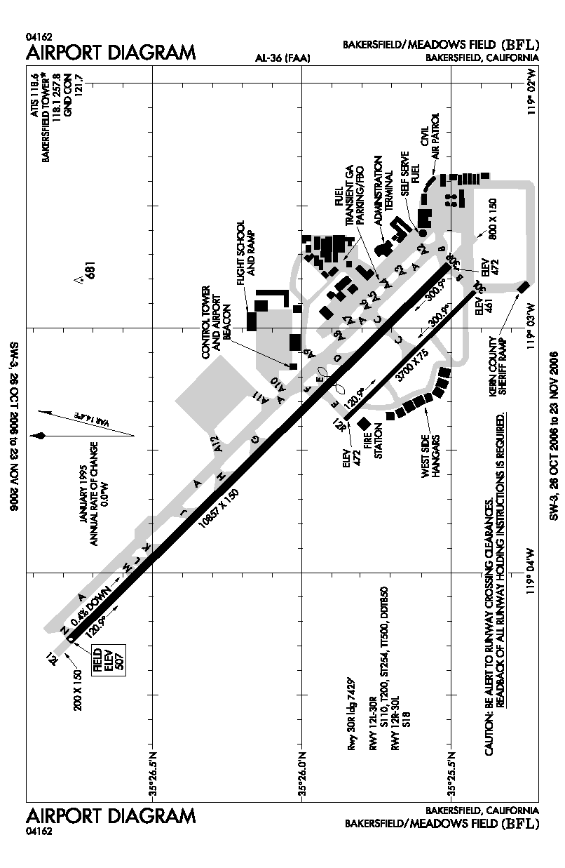
image-width =
caption =
IATA = BFL
ICAO = KBFL
FAA = BFL
type = Public
owner = Kern County
operator =
city-served =
location = Bakersfield,California
elevation-f = 507
elevation-m = 154.5
coordinates = Coord|35|26|01|N|119|03|24|W|type:airport_region:US
website =
metric-elev =
metric-rwy =
r1-number = 12L/30R
r1-length-f = 10,857
r1-length-m = 3,309
r1-surface =Asphalt
r2-number = 12R/30L
r2-length-f = 3,700
r2-length-m = 1,128
r2-surface = Asphalt
stat-year =
stat1-header =
stat1-data =
stat2-header =
stat2-data =
footnotes =Meadows Field airport codes|BFL|KBFL|BFL is the primary airport of Bakersfield,
California and is owned by Kern County. Meadows Field is also called Kern County Airport #1. The airport covers convert|1357|acre|ha|0 and has tworunway s, the longer which is the 3rd longest private runway in California behind LAX and SFO.History
Established in the 1920s, Meadows Field is actually in Oildale to the north of Bakersfield and is named after former county airport commissioner and aerial pioneer Cecil Meadows. The primary terminal was moved on
February 27 ,2006 to the newly constructed William M. Thomas Air Terminal, named after localU.S. Representative and strong airport supporterBill Thomas who secured Congressional funding for the new terminal. The new terminal upgrades the airports facilities, addingjetway s, indoorluggage carousel s,wireless internet access, etc. The older terminal, built in the 1950s, has been transformed into an international terminal with a convert|10000|sqft|m2|sing=on U.S. Customs facility built adjacent to it. The older terminal featured a restaurant site and motel, both of which were demolished to make way for the customs building. There are no facilities immediately adjacent to the airport, but a hotel and fast food restaurants exist within a mile to the west of the terminal at 7th Standard Road (which will soon be renamed Merle Haggard Drive between North Chester Avenue and Highway 99) and Highway 65 and a new popular Mexican restaurant is on Airport Drive across from the entrance to the International Terminal at China Grade Loop. The future of the airport calls for a massive international air-cargo hub to be constructed on the grounds.Airlines and destinations
*
United Airlines
**United Express operated bySkyWest Airlines (Denver, Los Angeles, San Francisco)
*US Airways
**US Airways Express operated byMesa Airlines (Phoenix)Gallery
References
*FAA-airport|ID=BFL|use=PU|own=PU|site=01291.*A
* [http://www.meadowsfield.com/ Meadows Field] (official site)External links
*FAA-diagram|00036
Wikimedia Foundation. 2010.