- Callantsoog
Dutch town locator maps
mun_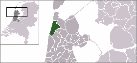
town_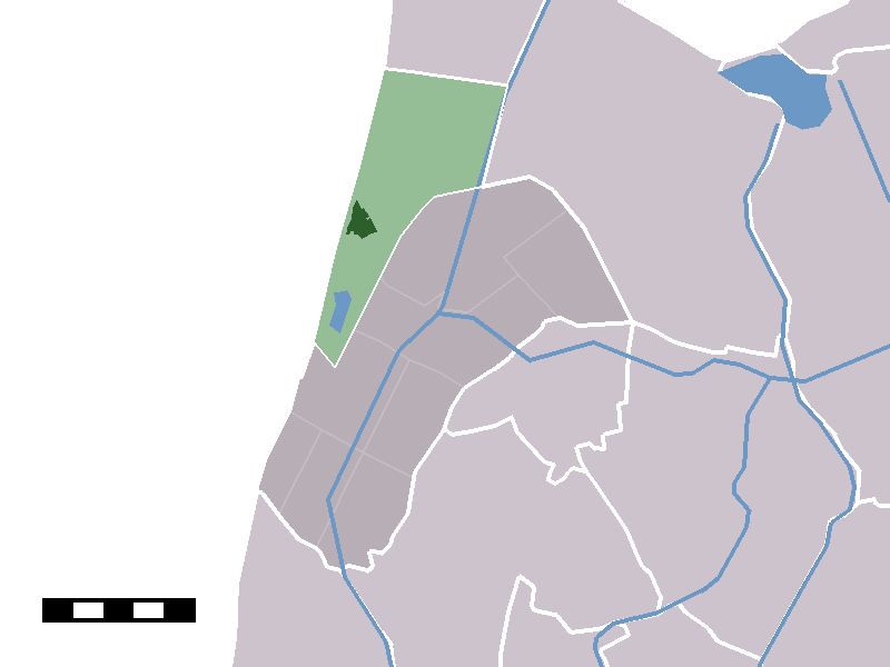
caption = The town centre (darkgreen) and the statistical district (lightgreen) of Callantsoog in the municipality of Zijpe.Callantsoog (West Frisian: "Kallantsouge") (coord|52|50|N|4|42|E|type:city(1956)) is a town in the Dutch province of
North Holland . It is a part of the municipality ofZijpe , and lies about 13 km south ofDen Helder . Until 1990, Callantsoog was a municipality; its area is now part of the municipalities of Zijpe,Den Helder , andAnna Paulowna .Callantsoog has the oldest official
nude beach of the country, dating from 1973. It is a sandy beach 1.5 km to the south.Callantsoog was a separate municipality until 1990, when it was merged with
Zijpe . [Ad van der Meer and Onno Boonstra, "Repertorium van Nederlandse gemeenten", KNAW, 2006. [http://www.knaw.nl/cfdata/publicaties/detail.cfm?boeken__ordernr=20061061] ]In 2001, the town of Callantsoog had 1956 inhabitants. The built-up area of the town was 0.58 km², and contained 899 residences.Statistics Netherlands (CBS), "Bevolkingskernen in Nederland 2001" [http://www.cbs.nl/nl-NL/menu/themas/milieu-natuur-ruimte/ruimte/publicaties/cartografie-geografie/geografische-data/2001-bevolkingskernen-in-nederland.htm] . Statistics are for the continuous built-up area.] The wider statistical area "Callantsoog" has a population of around 2580.Statistics Netherlands (CBS), "Gemeente Op Maat 2004: Zijpe" [http://www.cbs.nl/nl-NL/menu/themas/nederland-regionaal/nederland-regionaal/publicaties/gemeente-op-maat/2004/alfabet/Z/2004-zijpe.htm] .] This includes also the village of
Groote Keeten and the hamlet ofAbbestede north of Callantsoog itself.References
External links
* [http://www.kuijsten.de/atlas/nh/callantsoog.html Map of the former municipality in 1868]
Wikimedia Foundation. 2010.