- Marion railway station, Adelaide
TransAdelaide
colour=#0000ff
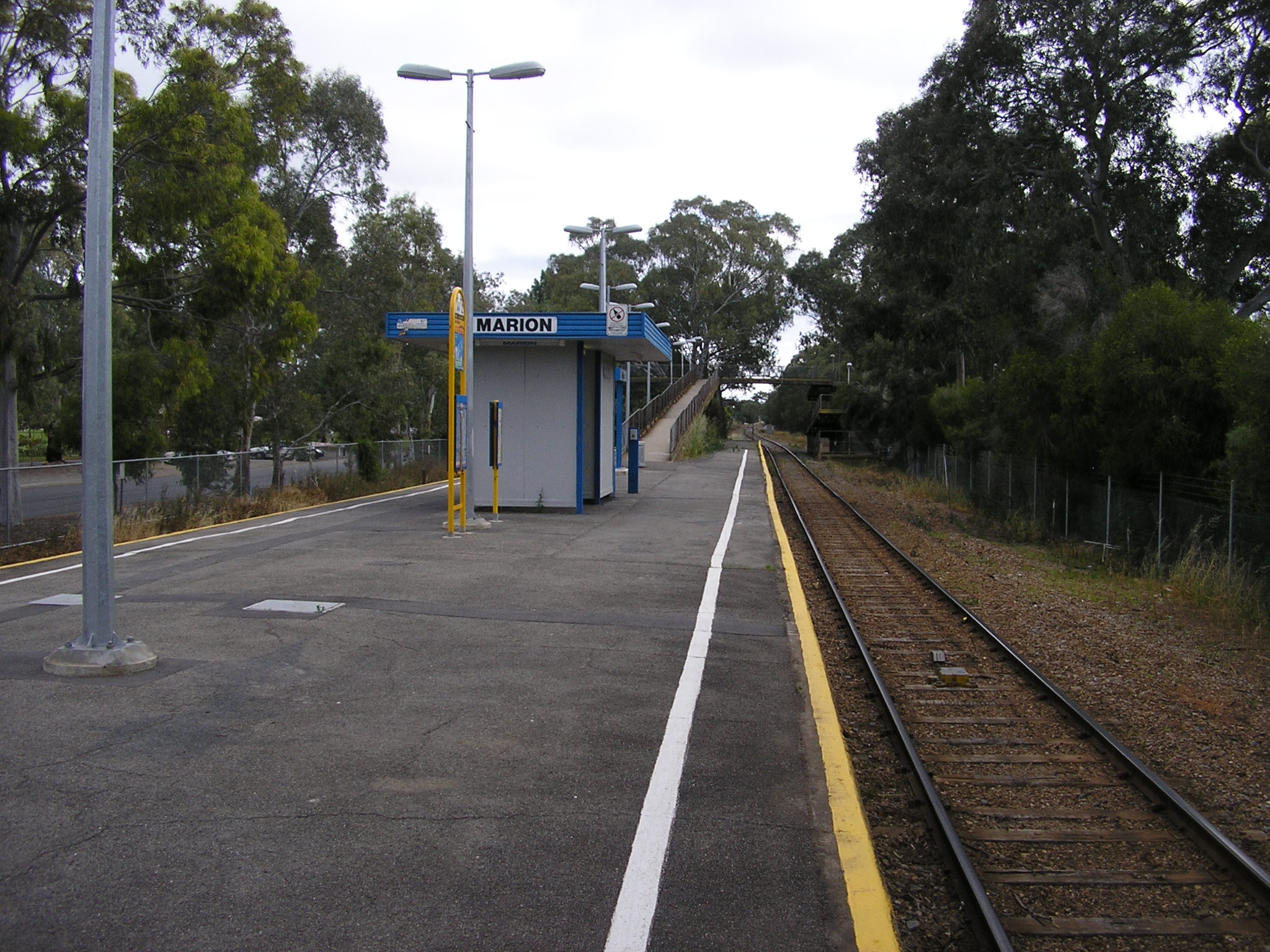
station_name=Marion
line=Noarlunga
street=Farne Terrace
Minchinbury Terrace
suburb=Marion
distance=11.4
access=Level Pedestrian Crossing
Elevated Pedestrian Crossing
HFS=No
peakfreq=Every 30 Mins
wdfreq=Every 30 Mins
wefreq=Every 30 Mins
nightfreq=Every 60 Mins
rrtd=No
rrts=Yes
platforms=1
platform_arch=Centre Platform
toilets=No
parking=Yes
bike=Yes
lounge=No
kiosk=No
disability=Yes
facilities=None
opened=1954
trainconnect=None
busconnect=None
previous=Ascot Park
next=OaklandsMarion railway station is a railway station on the Noarlunga railway line, which is located in the southwestern
Adelaide suburb of Marion. It is located 11.4km by railway from theAdelaide Railway Station .History
Until the early 1950s the Ascot Park and Oaklands railway stations serviced the Marion area. In 1953 the line was duplicated as far as Oaklands, and as part of that work the new station was constructed at Marion.cite book
last = Dolling
first = Alison
title = The History of Marion on the Sturt
publisher = Peacock Publications, Norwood, South Australia
year = 1981]In the 1960s concerns were raised regarding the safety of pedestrians crossing at the station, culminating in a serious accident in 1967. In response a pedestrian footbridge was constructed in 1970 at a cost of $35,000,cite book
last = Donley
first = R. J. R.
title = Marion 1945-2000: A Suburban City
publisher = Peacock Publications, Norwood, South Australia
year = 2001 ] providing access to the platform. Other stations, such as Oaklands and Ascot Park, had pedestrian subways installed, but problems with drainage made the footbridge more cost-effective at Marion. At the other end a more convenient low-level track crossing remains.An ongoing upgrade to the Oaklands Railway Station may increase the chances of an upgrade to Marion in the future.
Location
The station is situated a short walk from the corner of Marion Road and Daws Road, next to Westminster School and between Farne and Michinbury Terraces. Marion Railway Station is close to Marion Primary School and Park Holme Shopping Centre.
ervices
Marion Railway Station is frequented by trains on the Noarlunga Rail Line, terminating at or travelling from either
Noarlunga Centre Interchange or Brighton Railway Station and theAdelaide Railway Station . Services run between 20 to 30 minutes on weekdays during peak hours, and up to 1 hour at all other times. While the station is on the Noarlunga line, many daytime Noarlunga trains are express between Oaklands and Adelaide, so a transfer to the Brighton train at either Oaklands or Brighton railway stations may be required.ee also
*
List of Adelaide railway stations
*List of closed Adelaide railway stations
*TransAdelaide
*List of suburban and commuter rail systems
*Railways in Adelaide
*Rail transport in South Australia External links
* [http://www.sa.gov.au South Australia Central]
* [http://www.opt.dtup.sa.gov.au/ Office of Public Transport]
* [http://www.transadelaide.com.au/ TransAdelaide]
* [http://www.adelaidemetro.com.au/ Adelaide Metro]References
Wikimedia Foundation. 2010.