- Mankayane
-
Mankayane — Town — 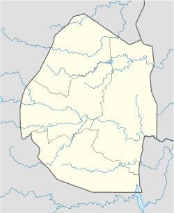
 Mankayane
Coordinates: 26°41′S 31°05′E / 26.683°S 31.083°ECoordinates: 26°41′S 31°05′E / 26.683°S 31.083°E Country Swaziland District Manzini Mankayane is a town located in the Manzini district of Swaziland.
This small town services the chiefdom of Velezizweni. Nearby are the extenive manmade forests which cover much of the high veldt areas of Swaziland. The area around Mankayane is also covered in small homesteads where traditional forms of agriculture are carried out. Other small irrigation schemes now exist providing a cash cropping basis for some local farmers. One such scheme is Ntamakuphila.
The areas to the West and South of Mankayane are Swazi Nation Land (SNL). These areas are "tribal" lands. That is they are administered under traditional systems of land tenure where a chief gives land to men, enough for their wives and children to use. This happens at the point at which these men "give Khonta", or allegiance,to the Chief. Individuals do not own the land they have "rights of usufruct", rights to use land as they need it for their families. To the north are the manmade forests and these sit in Individually Tenured Land (ITL). These pieces of land comprising almost 50% of the country are those areas taken over for use as farms and industry at the time of colonisation. These areas are privately owned; originally by English or Afrikaans farmers and increasingly by indigenous or naturalised Swazi.
The eastern part of the country bordering Mozambique is the low veld, where sugarcane plantations and the Umbombo Ranches (extensive multinational enterprises) can be found.
Categories:- Populated places in Swaziland
- Swaziland geography stubs

Wikimedia Foundation. 2010.