- Les Pavillons-sous-Bois
French commune|nomcommune=Les-Pavillons-sous-Bois
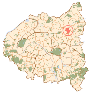
mapcaption=Paris and inner ring départements
lat_long=coord|48|54|17|N|2|30|18|E| région=Île-de-France |département=Seine-Saint-Denis |arrondissement=Bobigny|canton=|insee=|cp=|devise= |maire=|mandat=|intercomm="none as of 2005" |date-intercomm=|alt moy=|alt mini=|alt maxi=|km²=2.92|sans=
19,766
18,420|date-sans=Oct. 2006 estimate)
(March 8, 1999 census|dens=6,769|date-dens=2006|Les Pavillons-sous-Bois is a commune in the eastern suburbs of
Paris ,France . It is located 12.8 km (8 miles) from the center of Paris.History
The commune of Les Pavillons-sous-Bois was created on
January 3 ,1905 by detaching its territory from the commune ofBondy . The name of the commune literally means "the lodges under wood". The lodges mentioned in the name are two hunting lodges that were located at the entrance of the estate belonging to thechâteau du Raincy . The wood mentioned in the name is the ancientBondy Forest which covered most of the area to the northeast of Paris.Transport
Les Pavillons-sous-Bois is served by no station of the Paris Métro, RER, or suburban rail network. The closest station to Les Pavillons-sous-Bois is Le Raincy – Villemomble – Montfermeil station on Paris RER line P rer E. This station is located in the neighboring commune of
Le Raincy , 3.2 km (2 miles) from the town center of Les Pavillons-sous-Bois.External links
* [http://www.ville-pavillons-sous-bois.fr/ Official website] fr icon

Wikimedia Foundation. 2010.