Gorgie-Dalry

Gorgie-Dalry
Dalry
Gorgie

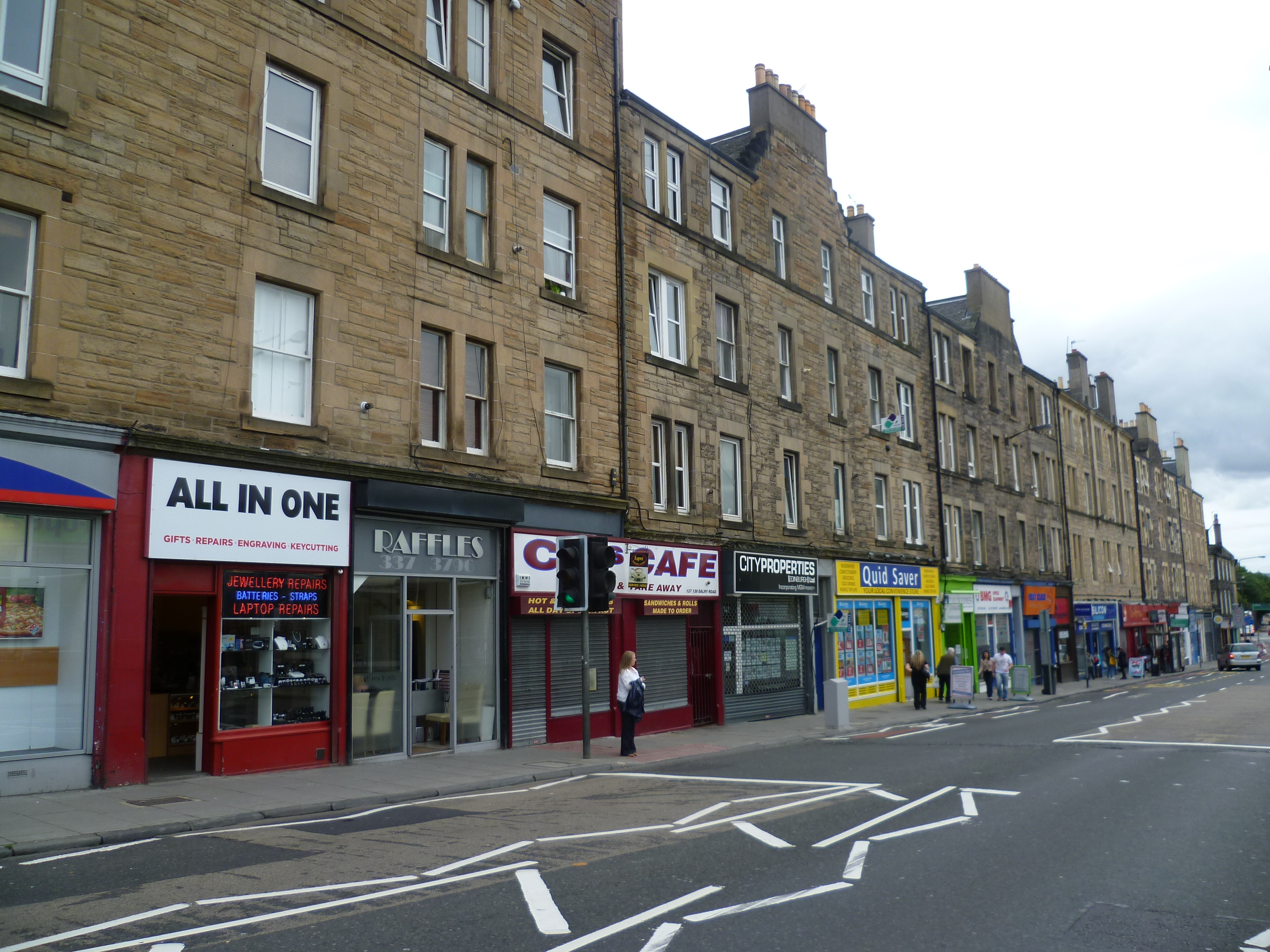
Gorgie-Dalry is the name given to the joint community council, consisting of Gorgie and Dalry in the west of Edinburgh, the Scottish capital. The area also incorporates Tynecastle and parts of Ardmillan.

Street signposts often use the Gorgie-Dalry logo, which is a G and a D in orange, running into one another; this logo was designed as part of a local competition and part of community based initiatives to instill pride in the local area.[citation needed]

Several local free newspapers and newssheets used to be distributed in this area; however these ceased distribution due to council expenditure cutbacks in 2008.[citation needed]

Coordinates: 55°56′21″N 3°13′35″W / 55.93917°N 3.22639°W / 55.93917; -3.22639


Wikimedia Foundation. 2010.

Игры ⚽ Нужно сделать НИР?

Look at other dictionaries:

  • Dalry, Edinburgh — Dalry Road Dalry (Scottish Gaelic: Dail Ruighe) is an area close to the centre of the Scottish capital Edinburgh, between Haymarket and Gorgie. The phrase Gorgie Dalry is commonly used by the council. It also borders Ardmillan. The area has… …   Wikipedia

  • Gorgie — Road Gorgie City Farm …   Wikipedia

  • Tynecastle Stadium — Infobox Stadium stadium name = Tynecastle location = Gorgie Road, Edinburgh, Scotland opened = 10 April, 1886 renovated = 1994 1997 owner = Heart of Midlothian F.C. surface = Grass construction cost = architect = Archibald Leitch (Main Stand),… …   Wikipedia

  • List of community council areas in Scotland — This is a list of community council areas established in each of the council areas of Scotland.Aberdeen CityThere are 31 community council areas in the council area. Those marked with an asterisk have a community council. [… …   Wikipedia

  • Edinburgh — For other uses, see Edinburgh (disambiguation). City of Edinburgh Scottish Gaelic: Dùn Èideann Scots: Edinburgh   Unitary Authority City   City of Edinburgh …   Wikipedia

  • Clermiston — is a suburb of Edinburgh, Scotland, to the north of Clerwood and west of Corstorphine Hill. Clermiston estate, built in 1954, was part of a major 1950s house building programme to tackle overcrowding in Leith and Gorgie. Now the area is home to… …   Wikipedia

  • Haymarket, Edinburgh — Haymarket is an area of Edinburgh, Scotland. It is situated in the west of the city and is a focal point for many main roads, notably Dalry Road (which leads to Gorgie Road and the M8 motorway to Glasgow), Corstorphine Road (leading to the M9,… …   Wikipedia

  • Ardmillan — is a mainly residential suburb of Edinburgh, Scotland. It borders on Dalry, Gorgie, and Polwarth.The name means the high bare place in Scottish Gaelic ( Aird a Mhaolain ).The area contains many tenements as well as Diggers pub, so called because… …   Wikipedia

  • Merchiston railway station — Merchiston Station Site of Merchiston Station (disused) Location Place …   Wikipedia

  • Dean Village — The Dean Village Dean Village (from dene, meaning deep valley ) is a former village immediately northwest of Edinburgh, Scotland city centre. It was known as the Water of Leith Village and was a successful grain milling hamlet for more than 800… …   Wikipedia

Share the article and excerpts

Direct link
Do a right-click on the link above
and select “Copy Link”