- Bánovce nad Bebravou
Geobox | settlement
name = Bánovce nad Bebravou
native_name =
other_name =
category = Town
etymology =
official_name =
motto =
nickname =
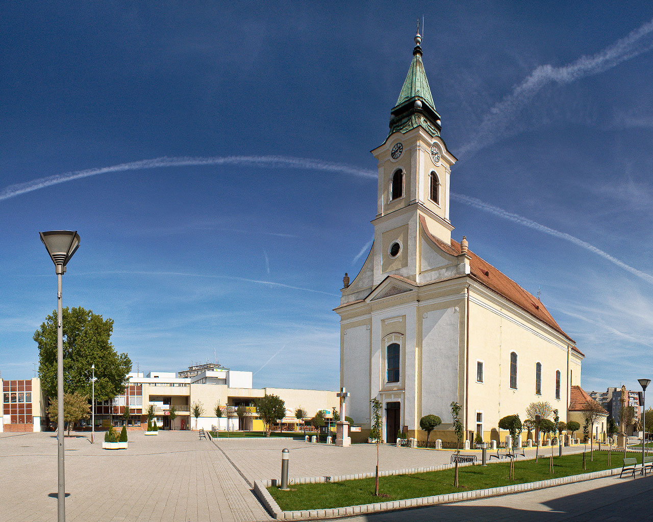
image_caption = A church in Bánovce nad Bebravou
symbol =
country = Slovakia
country_
state =
region = Trenčín
district = Bánovce nad Bebravou
municipality =
part =
river = Bebrava
location =
elevation = 216
lat_d = 48
lat_m = 43
lat_s = 08
lat_NS = N
long_d = 18
long_m = 15
long_s = 14
long_EW = E
coordinates_type = region:SK_type:city
highest =
highest_lat_d =
highest_long_d =
lowest =
lowest_lat_d =
lowest_long_d =
area = 26.459
area_round = 3
population = 20639
population_date = 2005
population_density = auto
established = 1234
established_type = First mentioned
date =
mayor = Stanislav Šiko
timezone =
map_background = Slovakia - background map.png
map_locator = Slovakia
map1 = Trenčín Region - outline map.svg
map1_background = Trenčín Region - background map.png
map1_locator = Trenčín Region
map1_size = 200
commons = Bánovce nad Bebravou
statistics = [http://www.statistics.sk/mosmis/eng/prvav2.jsp?txtUroven420301&lstObec542652&Okruhzaklad MOŠ/MIS]
website = [http://www.banovce.sk/ www.banovce.sk]
footnotes =Bánovce nad Bebravou ( _de. Banowitz, _hu. Bán) is a town in
Slovakia , in theTrenčín Region .Geography
It is located at the northernmost edge of the
Danubian Hills , at the foothills of theStrážovské vrchy mountains at the confluence of the "Radiša" andBebrava rivers. It is 25 km away fromPrievidza , 30 km fromTrenčín and 50 km fromNitra .History
The oldest settlement stems from the
Bronze Age . The eldest inscription mentioning the city as "villa Ben" dates back to 1232. The town was promoted in 1376 intofree royal town . In theMiddle Ages , Bánovce became an important trade centre - for shoemakers, carpenters, smiths, butchers, weavers and others. In 1633, theOttomans encroaching from the south plundered the town. The first elementary school was opened in the 17th century. During the first Czechoslovak republic, it was an agricultural-crafting town. AfterWorld War II , automobile, furniture and textile industries developed.Places of interest
* Saint Nicholas Church - an originally Gothic church from the 15th century
* Holy Trinity Church [http://en.wikipedia.org/wiki/B%C3%A1novce_nad_Bebravou/HolyTrinityChurch]
* Synagogue - now used as a Lutheran church
* Country castle in the Horné Ozorovce boroughIn total, there are 15 cultural memorials in the town and its boroughs inscribed in the central inventory of culture memorials in
Bratislava .The Bánovská parenica(the most famous cycling race in region)is regularly organized every year on the 6. sptember and it goes througt this village. The competition is available for a high range of cyclists. It starts in the town Bánovce nad Bebravou and is organized by the regional club of tourists Klub slovenskych turistov (http://www.kstbce.caro.sk/) and JPL.
Demographics
According to the 2001
census , the town had 20,901 inhabitants. 97% of inhabitants wereSlovaks , 1.4% Roma and 0.7% Czechs.cite web | title = Municipal Statistics | publisher = Statistical Office of the Slovak republic | url = http://www.statistics.sk/mosmis/eng/run.html | accessdate = 2007-12-09] The religious makeup was 73.9%Roman Catholics , 11.5% people with no religious affiliation, and 11.3%Lutherans .Boroughs
The city consists of the following boroughs:
#Bánovce nad Bebravou
#Biskupice
#Dolné Ozorovce
#Horné Ozorovce
#Malé ChlievanyReferences
External links
* [http://www.banovce.sk/ Official website]
* [http://www.fotografovanie.info/ Photography from Banovce nad Bebravou]


Wikimedia Foundation. 2010.