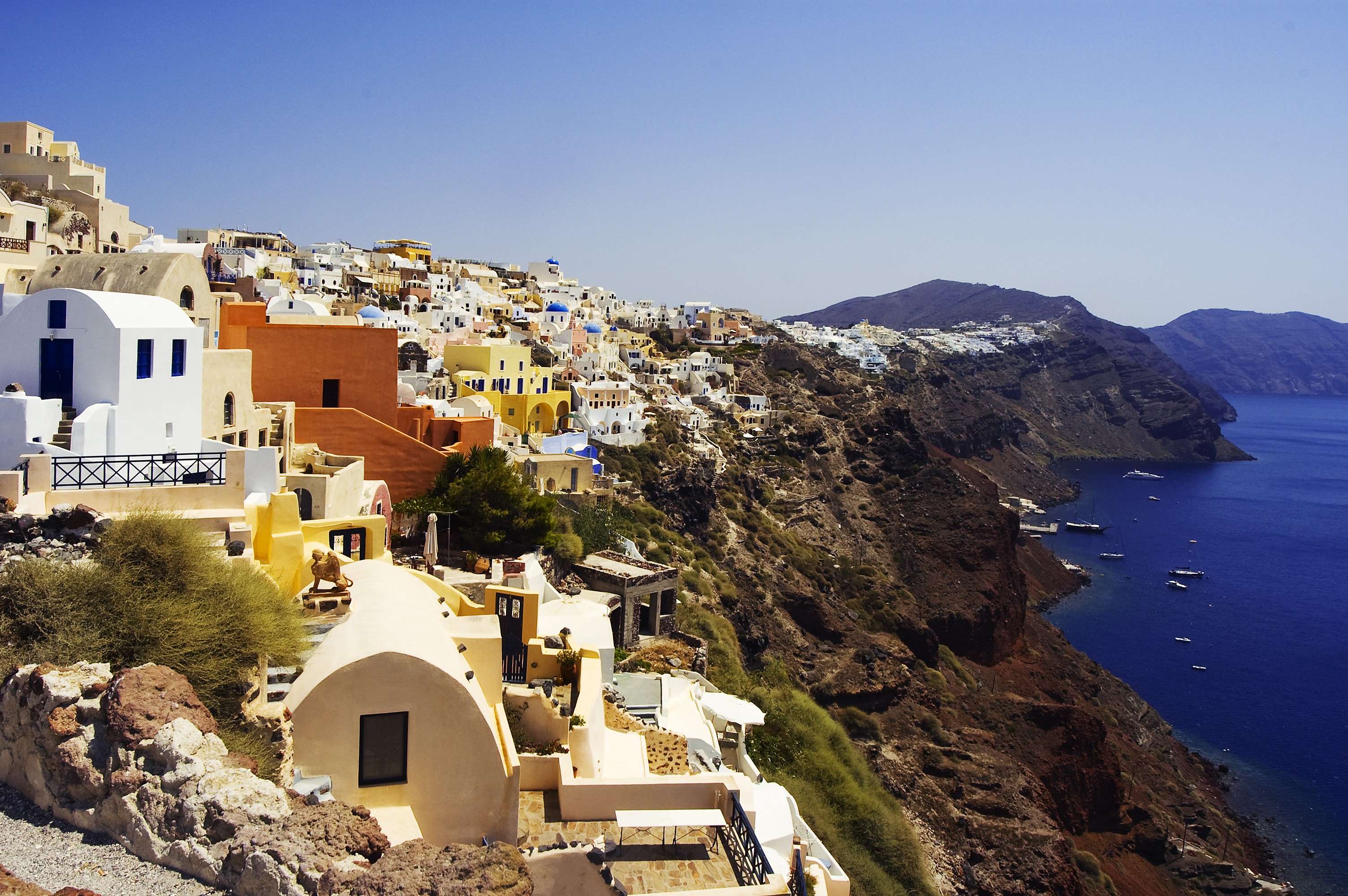
- Caldera, Chile
Infobox Settlement
official_name = Caldera, Chile
other_name =
native_name =
nickname =
settlement_type =
motto =
imagesize = 300px
image_caption = Port of Caldera
flag_size =
image_
seal_size =
image_shield =
shield_size =
image_blank_emblem =
blank_emblem_type =
blank_emblem_size =
mapsize =
map_caption =
mapsize1 =
map_caption1 =
image_dot_
dot_mapsize =
dot_map_caption =
dot_x = |dot_y =
pushpin_
pushpin_label_position = bottom
pushpin_map_caption =Location in Chile
pushpin_mapsize = 80subdivision_type = Country
subdivision_name =
subdivision_type1 = Admin. division
subdivision_name1 =Atacama Region
subdivision_type2 = Province
subdivision_name2 =Copiapó Province
subdivision_type3 =
subdivision_name3 =
subdivision_type4 =
subdivision_name4 =
government_footnotes =
government_type =
leader_title =
leader_name =
leader_title1 =
leader_name1 =
leader_title2 =
leader_name2 =
leader_title3 =
leader_name3 =
leader_title4 =
leader_name4 =
established_title =
established_date =
established_title2 =
established_date2 =
established_title3 =
established_date3 =
area_magnitude =
unit_pref =Imperial
area_footnotes =
area_total_km2 =
area_land_km2 =
area_water_km2 =
area_total_sq_mi =
area_land_sq_mi =
area_water_sq_mi =
area_water_percent =
area_urban_km2 =
area_urban_sq_mi =
area_metro_km2 =
area_metro_sq_mi =
area_blank1_title =
area_blank1_km2 =
area_blank1_sq_mi =
population_as_of =2002
population_footnotes =
population_note =
population_total =14,000
population_density_km2 =
population_density_sq_mi =
population_metro =
population_density_metro_km2 =
population_density_metro_sq_mi =
population_urban =
population_density_urban_km2 =
population_density_urban_sq_mi =
population_blank1_title =Ethnicities
population_blank1 =
population_blank2_title =Religions
population_blank2 =
population_density_blank1_km2 =
population_density_blank1_sq_mi =
timezone =
utc_offset =
timezone_DST =
utc_offset_DST =
latd=27 |latm=04 |lats= |latNS=S
longd=70 |longm=50 |longs= |longEW=W
elevation_footnotes =
elevation_m =
elevation_ft =
postal_code_type =
postal_code =
area_code =
blank_name =
blank_info =
blank1_name =
blank1_info =
website =
footnotes =Caldera is a seaport in
Copiapó Province in the region of Atacama . It has an excellent harbor, protected by breakwaters, being the port city for the productive mining district centring onCopiapó to which it is connected by the first railroad constructed inChile . In 1903, 2,130 people lived in Caldera. (Current population ca 14.000 inhabitants)Location and Climate
Caldera lies about 75 km west of
Copiapó at the Pacific. The climate is very dry and hot, because of its location on theAtacama deserts coast.History
1687 Englishman
Edward Davis reached the "Playa Bahia Inglesa (English Beach)" 6 km south of Caldera. 1840William Wheelwright of thePacific Steam Navigation Company visited the region of Caldera. On his proposal the first railway was created in the year of 1851 fromCopiapó to Caldera. Its inauguration was onChristmas Day in 1851. Caldera became an important port for the exportation of minerals.The city was officially founded on 23rd September 1850.
Frequently there were earthquakes and tsunamis. The last earthquakes were 1868, 1877 and 1922.
Tourist Attractions
The church of "San Vicente de Paul" (dated 1862) and the cave of "Padre Negro" are worth visiting. Padre Velásquez painted biblical motifs in the cave in 1978. There is a nice beach at Bahía Playa Inglesa.11 km northwards is the "Santuario de la Naturaleza Granito Orbicular" where
orbicular granite can be seen. 30 km in the north isPan de Azúcar National Park with mist forests and Humboldt penguins.Economy
Mainstays of the economy are copper ore mining and cultivation of citrus plants which are exported via the port. Fishing and tourism play also an important role. The nice beaches attract many visitors.
Picture Gallery
References
Wikimedia Foundation. 2010.

