- Smoketown, Louisville
Infobox nrhp
name = Smoketown Historic District
nrhp_type = hd
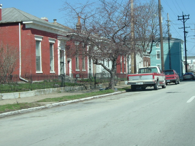
caption = Logan Street in Smoketown
locator_x =
locator_y =
lat_degrees =
lat_minutes =
lat_seconds =
lat_direction =
long_degrees =
long_minutes =
long_seconds =
long_direction =
location =
nearest_city =
area = 780 acres
built =
architect =
architecture =Shotgun house s, other
designated =
added = 1997
established =
visitation_num =
visitation_year =
refnum = 97000661
mpsub =
governing_body =Smoketown is a neighborhood one mile southeast of downtown
Louisville, Kentucky . Smoketown has been a historically black neighborhood since the Civil War. It is the only neighborhood in the city that has had such a continuous presence.The name apparently comes from the large number of (smoke-producing)
kiln s in the area during its early brick-making days. An 1823 newspaper advertises a brickyard in the area as part of the farm and residence of "the late Mark Lampton", after whom Lampton Street is probably named. 9 of 20 brickyards in the city had Smoketown addresses according to a 1871Caron's directory, although none remained by 1880, as apparently the supply of clay from under the neighborhood had run out. The abandoned, water-filled clay pits may have given rise to the name "Frogtown" for the neighborhood, which appeared in print in 1880.Some residential development by whites of German ancestry began in the 1850s, but due to the arrival of thousands of freed slaves who moved there from various parts of rural Kentucky after the Civil War, it was solidly African American by 1870. A streetcar line was extended down Preston Street to Kentucky in 1865, spurring growth.
With its
shotgun houses and narrow streets, Smoketown was a densely populated area with a population of over 15,000 by 1880. African American property ownership was rare, with most living in properties rented from whites.By the 1960s the area suffered from high crime and unemployment rates, causing massive population loss. Many of the old shotgun houses have been razed and
housing project s built in their place.Albert E. Meyzeek Middle School is located in the neighborhood.Presbyterian Community Center is located in the Smoketown neighborhood. Bates Memorial Baptist Church is located in SmoketownSmoketown is bounded by Broadway,
CSX railroad tracks, Kentucky Sreet, and I-65. Since the 1950s, Smoketown has suffered from massive depopulation. As of 2000, the population of Smoketown was 2,116, a decrease of over 38% from 1990 ref|1.Demographics
As of 2000, the population of Smoketown was 2,232 ref|1, of which 13.1% is white, 81.2% is black, 1.8% is listed as other, & 3.8% is Hispanic. College graduates are 6.0% of the population, people w/o a high school degree are 42.7%. Females outnumber males 53.4% to 46.6%.
References
# cite web|title=Community Resource Network|url=http://www.crndata.org/Neighborhoods/WEB%AD_NIGHBORHOODS/somektown.htm|accessdate=2005-11-18
External links
* [http://www.clinicalsocialwork.com/smoketown-2.html "Smoketown" (Neighborhood Analysis)] - Paper on Smoketown
Louisville places
place=Smoketown
north=Phoenix Hill
south=Shelby Park
east=Paristown Point-Germantown
west=Old Louisville
northwest=Downtown Louisville
Wikimedia Foundation. 2010.