- Zoutelande
Dutch town locator maps
mun_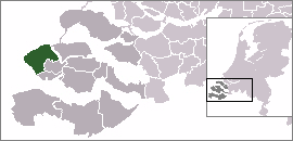
town_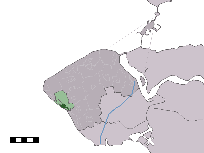
caption = The village centre (dark green) and the statistical district (light green) of Zoutelande in the municipality of Veere.Zoutelande (coord|51|30|N|3|29|E|type:city(1418)) is a
village in themunicipality ofVeere , on the former islandWalcheren in the province ofZeeland , in the southwest ofThe Netherlands . OnJanuary 1 2005 it had 1,556 inhabitants. It is located betweenDishoek and Westkapelle. Originally, Zoutelande was mainly an agricultural village, this being its most important economic activity. The village's character changed slowly into a tourist resort as the demand forbeach recreation rose from about the middle of the 19th century.Zoutelande was a separate municipality until 1966, when it became a part of the new municipality Valkenisse. [Ad van der Meer and Onno Boonstra, "Repertorium van Nederlandse gemeenten", KNAW, 2006. [http://www.knaw.nl/cfdata/publicaties/detail.cfm?boeken__ordernr=20061061] ]
Nowadays,
tourism is Zoutelande's most important source of existence. It is not for nothing that Zoutelande, together with the beach of Dishoek and Westkapelle, is called "Zeeland's Rivièra", after the famous south-coast of France. It is one of Zeeland's most-visited coasts, and one of the few places in The Netherlands where the beach faces south. Plenty of rooms, studios, bungalows and apartments are available to thousands of visitors every summer; most of the tourists are of German origin, although other nationalities are also widely represented. The remaining agriculture in the area benefits of the demand foraccommodation in the form of mini-campings.Bicycle -rental, beachfront establishments,hotels , B&Bs, shops and a niceboulevard are all to be found in and around the village.Like
Domburg , Zoutelande was very famous among Dutchpainters , who especially praised the sky over Zeeland. It is said the reflection of the sun on the water colors the sky more brilliantly and transparently than anywhere.Monuments
Zoutelande has, just as almost all villages, its
monument s, among them theDutch Reformed Church with a tower in which fragments of late 13th century brick gothic are to be found. In about 1500 the church was formed into ahall church . In 1573 this was returned to its original state by the war damage during theEighty Years' War . Most people suspect that the tower and church got their present shape about 1738. In 1950 a restoration took place. The parish of the church is connected through legend with SaintWillibrord .Unfortunately an old monument, the Willibrord Well, was lost due to the building of the present sea dyke. The well, created by Willibrord and dating from the 16th century, according to the legend contained healing water. Because of the building of a new dyke in the 1960s, slightly further inland than the old row of
dune s, part of the town had to be demolished. This is the reason why the church, which originally stood in the center of the village, is now almost at the foot of the dyke. In 1984 a new well was built to remember the legend.Zoutelande also has it own
windmill . The round, brick-built,corn mill originates from 1722.References
External links
* [http://www.zoutelande.info Zoutelande Tourist Information]
* [http://www.kuijsten.de/atlas/ze/zoutelande.html Map of the former municipality in 1868]
Wikimedia Foundation. 2010.