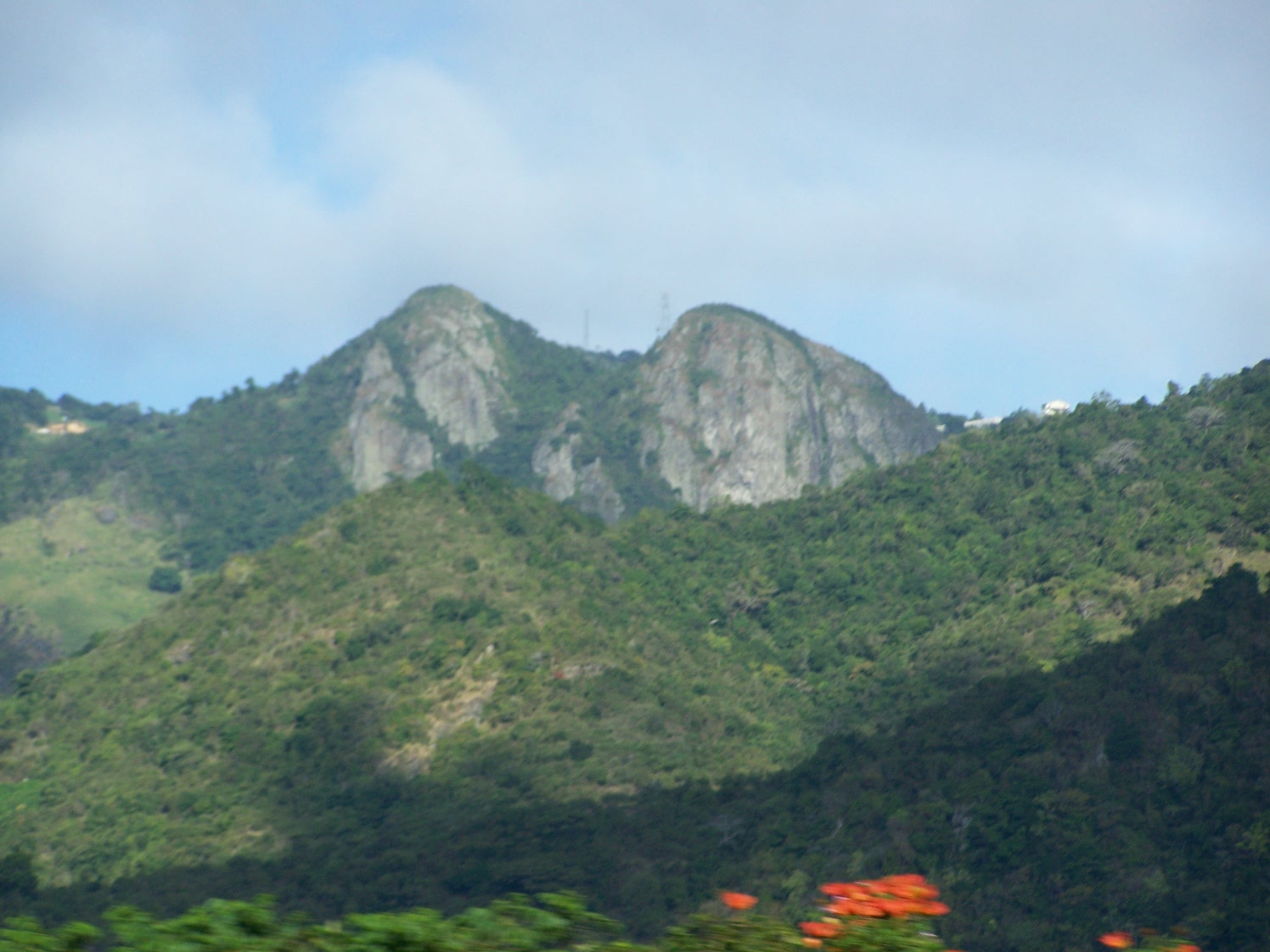
- Las Tetas De Cayey
Geobox Settlement
name = Las Tetas de Cayey
native_name =
other_name = Cerro del Torito
other_name1 =
category =

image_size = 200px
image_caption = Close-up of Las Tetas from PR-52.
flag_size =
symbol =
symbol_size =
nickname =
motto =
country = Puerto Rico
state =
region = Salinas
region_type =
district_type =
district =
district1 =
district2 =
area_imperial =
area_land_imperial =
area_water_imperial =
area_water_percentage =
area_percentage_round =
area_round =
location =
lat_d = 18
lat_m = 05
lat_s = 43
lat_NS = N
long_d = 66
long_m = 13
long_s = 54
long_EW = W
elevation_imperial = 2690
elevation_round = 1
population_as_of =
population =
population_density_imperial =
population_density_round =
government_type =
government =
established_type =
established =
mayor =
timezone = Atlantic (AST)
utc_offset = -4
timezone_DST =
utc_offset_DST =
postal_code =
postal_code_type =
area_code =
area_code_type =
code2_type =
code2 =
free_type =
free =
free1_type =
free1 =
map_size =
map_caption =
map1 =
map1_size =
map1_caption =
map1_locator =
map2 =
map2_caption =
website =Las Tetas De Cayey, also known as "Cerro Las Tetas" and "Cerro del Torito", are two
mountain peaks inSalinas, Puerto Rico nicknamed so for their similarity to a woman's breasts (the word "tetas" is colloquial for "breasts" in Spanish, much like the English word, "tits"). They are located near theMonumento al Jíbaro Puertorriqueño Statue which is found along Highway PR-52 which cuts across the island from north to south. Recently the town of Salinas took the town of Cayey to court over the location of "Las Tetas" and won, so "Las Tetas de Cayey" is now located within the municipality of Salinas. Even so, the name of the mountains are so embedded in Puerto Rican culture, they are still referred to as "Las Tetas de Cayey" It is also believed these mountains were used in theCuba n coat of arms in an effort to simbolize the union between Puerto Rico and Cuba against Spain.ee also
*
Cayey, Puerto Rico
*Cordillera Central, Puerto Rico
Wikimedia Foundation. 2010.
