- Hérault River
Infobox River | river_name = Hérault
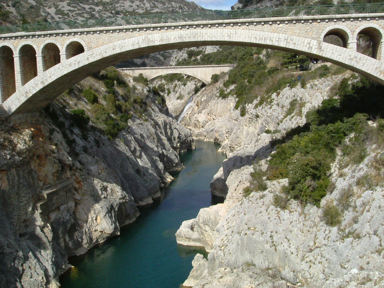
caption = Pont du diable (devil's bridge) over the Hérault River nearSaint-Guilhem-le-Désert .
origin =Cévennes
mouth =Mediterranean Sea
coord|43|16|57|N|3|26|39|E|name=Mediterranean Sea-Hérault|display=inline,title
basin_countries =France
length = 148 km
elevation =
discharge = 50 m³/s
watershed = 2,900 km²The Hérault (Occitan : "Erau") is ariver of southernFrance . Its length is convert|148|km|mi. Its source is in theCévennes mountains. It reaches theMediterranean Sea nearAgde . The Hérault flows through the following "départements" and towns:Towns along the river
*
Gard :Valleraugue .
*Hérault (named after the river): Ganges,Pézenas (nearby),Agde .Tributaries
References
*http://www.geoportail.fr
* [http://sandre.eaufrance.fr/app/chainage/courdo/htm/Y2--0200.php?cg=Y2--0200 The Hérault at the Sandre database]
Wikimedia Foundation. 2010.