- Mount Francais
-
Mount Francais 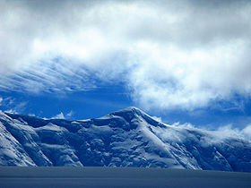
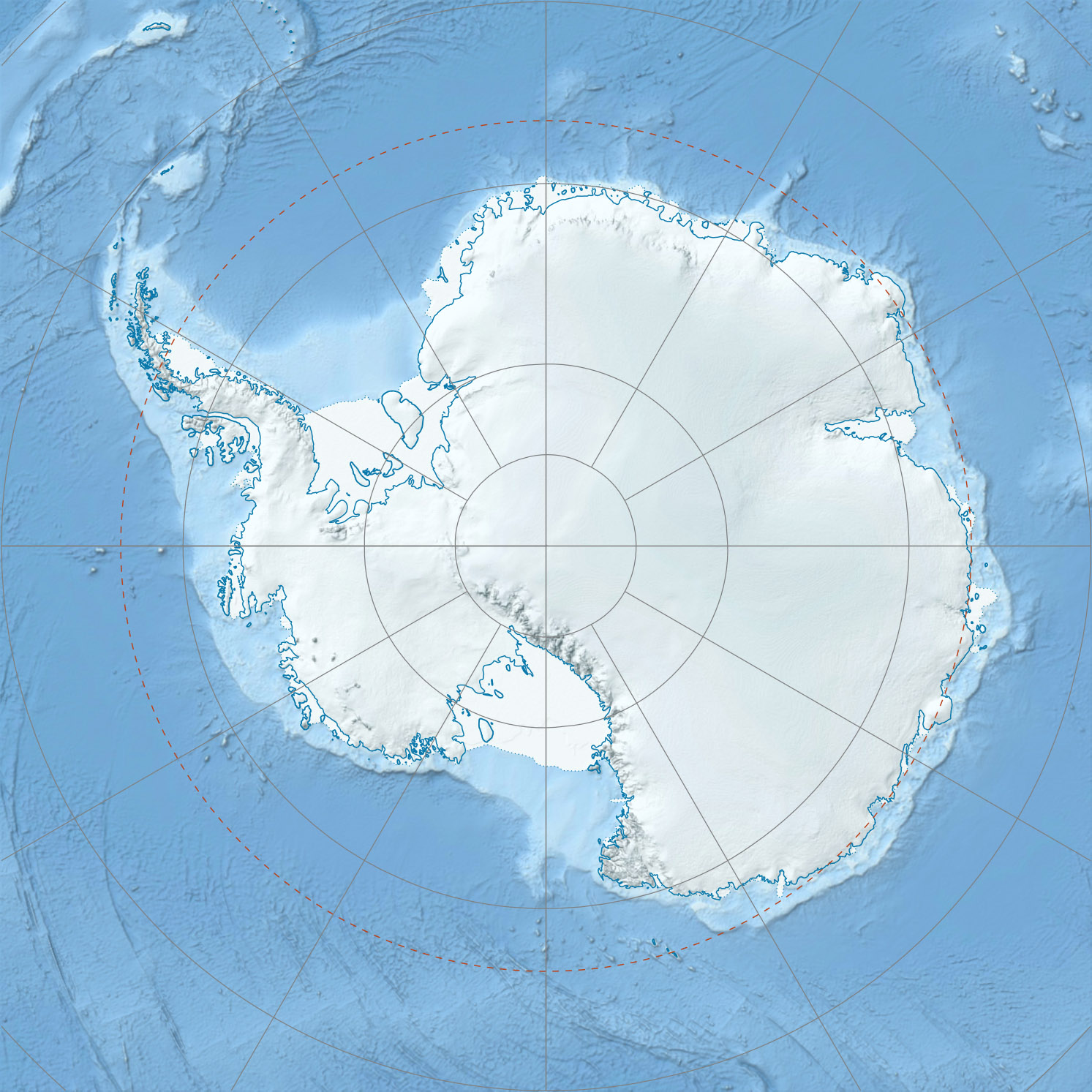
Mount FrancaisElevation 2,760 m (9,055 ft) [1] Prominence 2,760 m (9,055 ft) [1] Listing Ultra Location Location in the Palmer Archipelago, Antarctica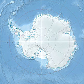
 Mount Francais
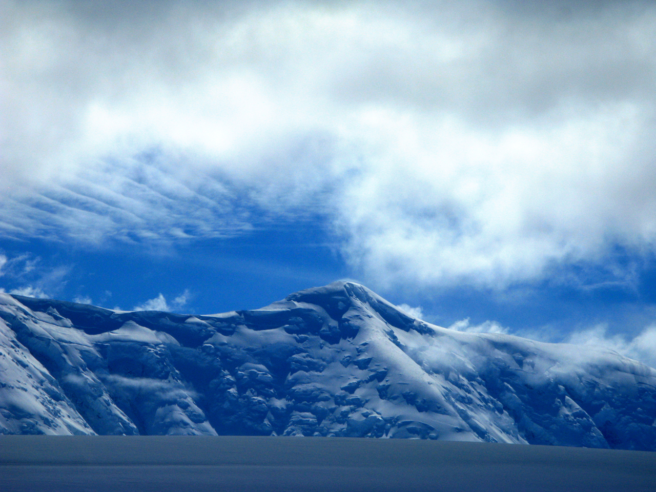
Location Anvers Island, Antarctica Range Trojan Range Coordinates 64°38′S 63°27′W / 64.633°S 63.45°WCoordinates: 64°38′S 63°27′W / 64.633°S 63.45°W[1] Mount Francais is a mountain which forms the summit of Anvers Island, Antarctica standing southeast of the center of the island and 6 miles north of Borgen Bay. Mount Francais has an elevation of 2,760 metres (9,055 ft) and is part of the Trojan mountain range.
Contents
History
Mount Francais was first seen by the members of the Belgian Antarctic Expedition, who explored the southeast coast of the island in 1898. It was later sighted by the French Antarctic Expedition team members, 1903–05, under Charcot, who named it for the expedition ship Français.
References
- ^ a b c "Anarctica Ultra-Pominences" Peaklist.org. Retrieved 2011-11-19.
See also
External links
- "Mount Français, Antarctica" on Peakbagger
This article incorporates text from Trojan Range, in the Geographic Names Information System, operated by the United States Geological Survey, and therefore a public domain work of the United States Government.

This Palmer Archipelago location article is a stub. You can help Wikipedia by expanding it.