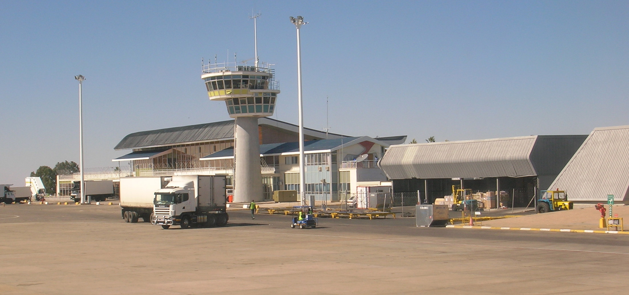
- Windhoek Hosea Kutako International Airport
Infobox Airport
name = Hosea Kutako International Airport
nativename =
nativename-a =
nativename-r =

image-width =
caption =
IATA = WDH
ICAO = FYWH
type = Public
owner =
operator = Namibian Civil Government
city-served =
location = Windhoek
elevation-f = 5640
elevation-m = 1719
coordinates = Coord|22|29|12|S|17|27|45|E|type:airport|display=inline,title
website =
metric-elev =
metric-rwy =
r1-number = 08/26
r1-length-f = 15,327
r1-length-m = 4,673
r1-surface = Asphalt
r2-number = 16/34
r2-length-f = 5,000
r2-length-m = 1,524
r2-surface = Asphalt
stat-year =
stat1-header =
stat1-data =
stat2-header =
stat2-data =
footnotes =.During the South African occupation of Namibia, the airport was named J.G. Strijdom Airport, after a pro-Apartheid South African Prime Minister.
Few, if any, domestic flights pass through Hosea Kutako Airport as those are predominantly handled at the smaller Windhoek Eros Airport. Public buses connect both airports to each other and to downtown Windhoek.
Airlines and destinations
*
Air Namibia (Cape Town, Frankfurt, Johannesburg, London-Gatwick, Luanda, Maun, Victoria Falls)
*Air Botswana (Gaborone)
*British Airways
**British Airways operated by Comair (Johannesburg)
*Kulula.com (Johannesburg)
*Air Berlin (Düsseldorf, Munich)
*South African Airways (Johannesburg)
**South African Airways operated bySouth African Express (Cape Town)
*TAAG Angola Airlines (Luanda, Lubango)External links
* [http://www.airports.com.na/index.html Hosea Kutako International Airport] from Namibia Airports Company LTD (operators of the airport)
* [http://africa.cwsurf.de/HoseaKutako.htm Private site about Hosea Kutako International Airport]
*
Wikimedia Foundation. 2010.
