- Vaal River
:"This is for the river, for the extraterrestrial robot deity see
The Apple (Star Trek) "Geobox River
name = Vaal
country = South Africa
region =Free State
region1 =Gauteng
length = 1120
watershed = 196438
discharge_location =Orange River
discharge_average = 125
discharge_max_month =
discharge_max =
discharge_min_month =
discharge_min =

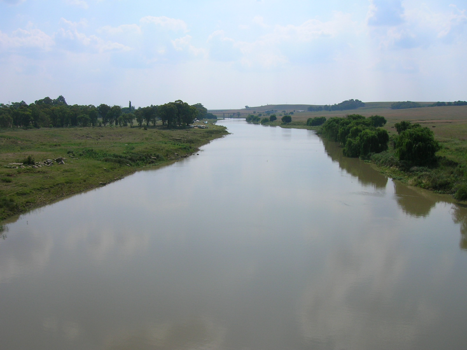
image_caption = The Vaal River where it is crossed by the N3 national freeway. At this point it forms the border between the Gauteng and Free State Provinces.
landmark = Vredefort crater
landmark1 = Vaal DamThe Vaal River is the largest tributary of the
Orange River inSouth Africa . The river has its source in theDrakensberg mountains inMpumalanga , east ofJohannesburg and about 30 km north of Clarens in theFree State at a source known as theAsh River . It then flows southwest to its conjunction with the Orange River southwest of Kimberley in theNorthern Cape . It is 1120km in length, and forms the border betweenMpumalanga ,Gauteng andNorth West Province on its north bank, and theFree State on its south.Importance to industry and agriculture
Water is drawn from the Vaal to meet the industrial needs of the
Greater Johannesburg Metropolitan Area and a large part of the Free State Province. As a part of the Vaal-Hartz Scheme it is a major source of water for irrigation. Water drawn from the Vaal supports 12 Million consumers in Gauteng and surrounding areas.History
Vaal is a Dutch name (later
Afrikaans ), translated by the Griquas or Boers [cite book|last = Thompson|first = G.|coauthors =|title = Travels and Adventures in Southern Africa I|publisher = Henry Colburn, London|date = 1827|month =|pages = pp. 74|isbn =] from an earlier Kora Khoikhoi name "Tky-Gariep" (/hei !garib, drab river).cite book|last = du Plessis|first = E.J.|coauthors =|title = Suid-Afrikaanse berg- en riviername|publisher = Tafelberg-uitgewers, Cape Town|date = 1973|pages = pp. 326, 221|isbn = 0-624-00273X] Both Vaal and "Tky" mean "drab" or "dull", which alludes to the colour of its waters, especially noticed during flood season when much silt is carried. In the upper reaches the river was named "Likwa" (Sindebele), "Ikwa" (isiZulu), "Êjkwa" (siSwati) or "cuoa" by the Khoikhoi, all referring to the plain it traverses.Historically, the river formed the boundary between two
Boer republics , and later provinces,Transvaal and theOrange Free State . The geographic nameTransvaal comes from the name of this river, meaning "Beyond the Vaal river". This was in respect to theCape Colony and Natal, which were the main areas of European settlement at the time, and lay south of the Vaal.References
* [http://www.ngo.grida.no/soesa/nsoer/issues/water/state2.htm State of the Environment of South Africa (SOESA), Annual National State of the Environment Report]
Notes
ee also
*
Vaal dam
Wikimedia Foundation. 2010.
