- Międzyrzecz Fortified Region
-

The Międzyrzecz Fortification Region (German: 'Ostwall or Festungsfront im Oder-Warthe Bogen', Polish: Międzyrzecki Rejon Umocniony) is a fortified military defence line in Western Poland, between Oder and Warta rivers.
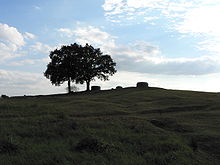
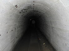
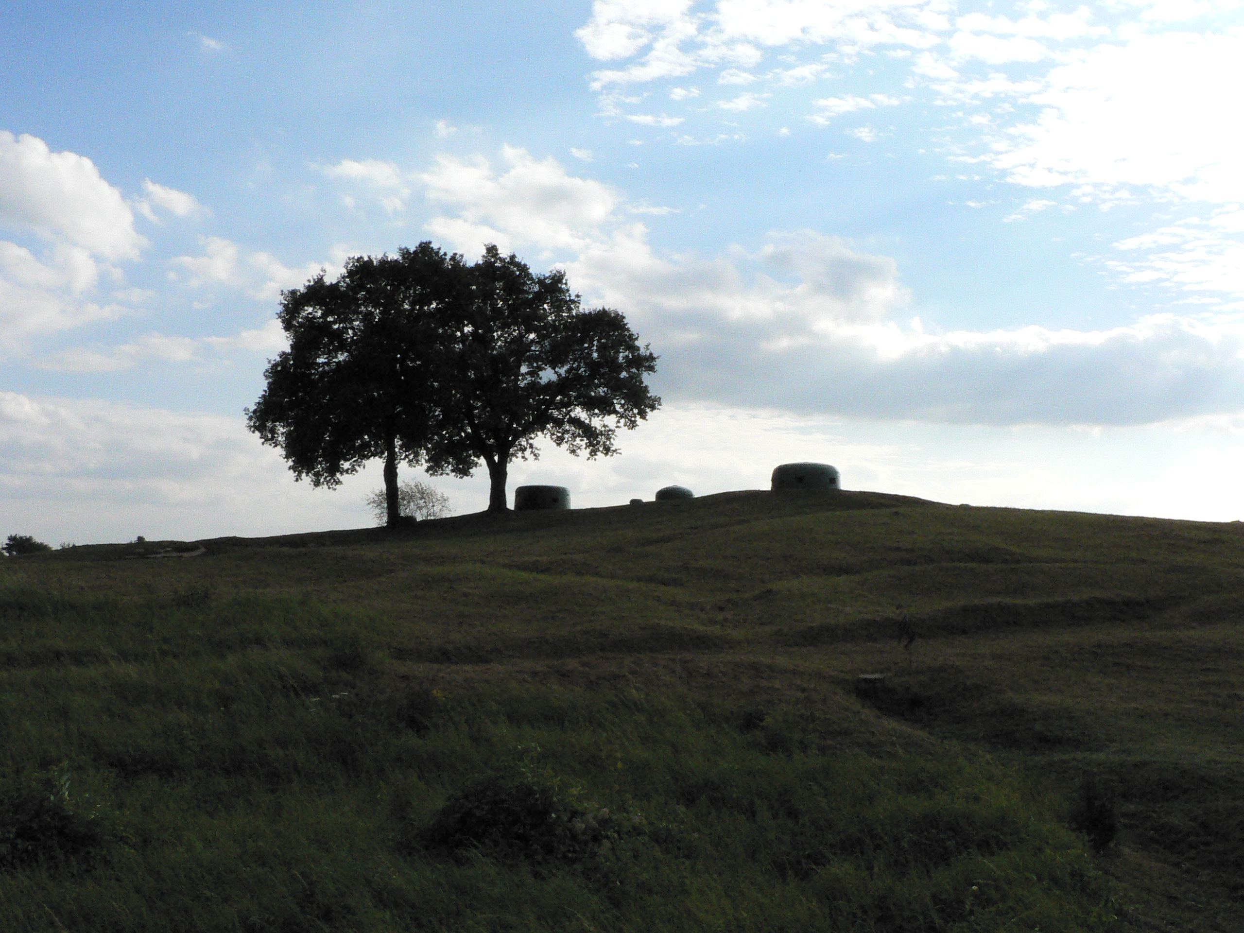
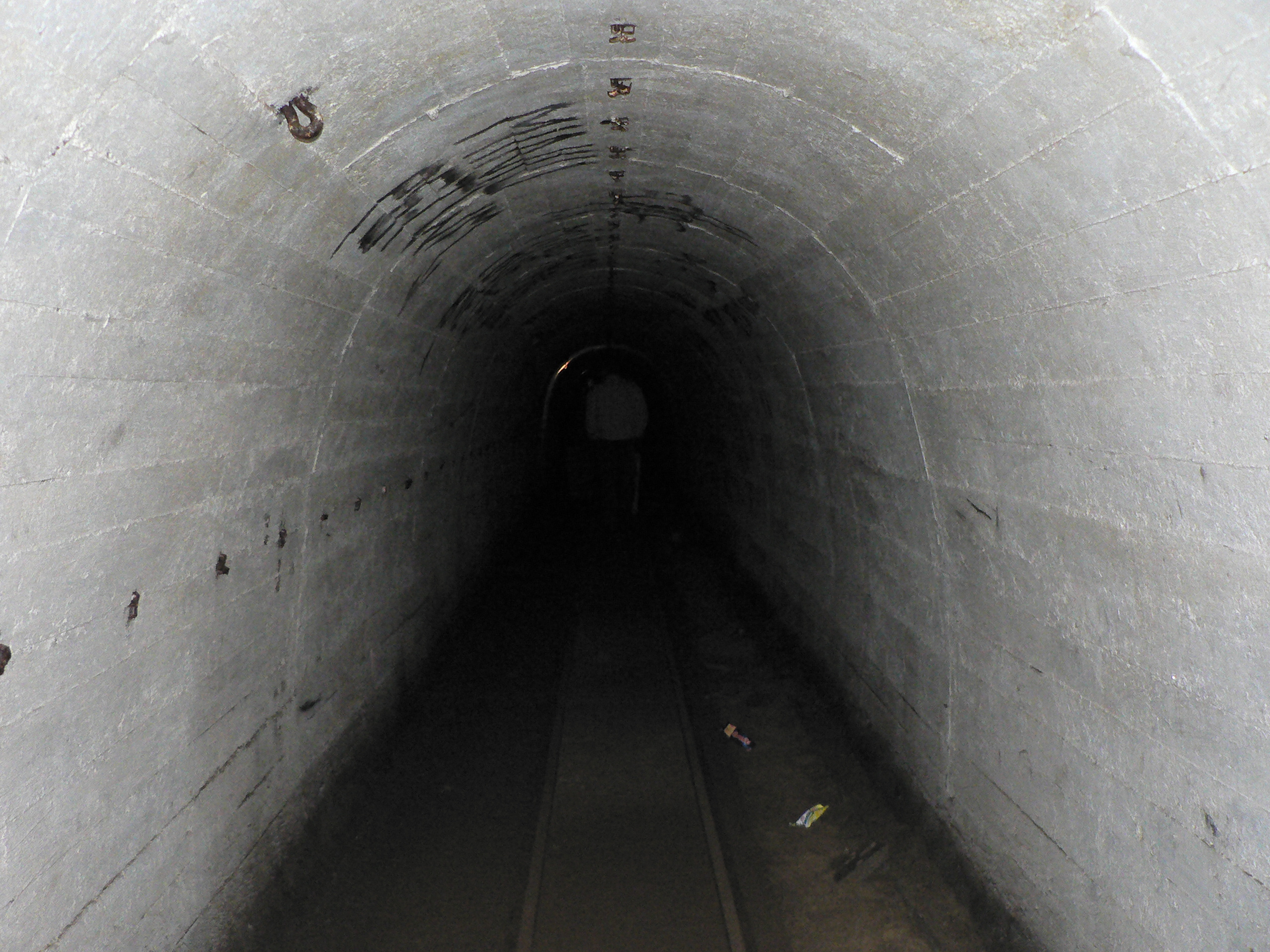
Built in 1934-1938, it was the most technologically advanced fortification system of Nazi Germany, and remains one of the largest and the most interesting systems of this type in the world today. It consists of around 100 concrete defence structures partially interconnected by a network of underground tunnels. Some of the forts and tunnels are available for visiting.
The most interesting part is the central section, which begins in the south with the so-called Boryszyn Loop near the village of Boryszyn and extends about 12 km to the north. In the central section the bunkers are interconnected with an underground system of tunnels, 32 kilometres long and up to 40 metres deep. In the underground system there are also railway stations, work shops, engine rooms and barracks.
It is also the largest European underground bats refuge, giving shelter to some 32,000 bats of 12 species in the wintertime.
History
The design works of the fortified defence line started in Germany in 1932. The first stage, until 1935, included constructing of water obstacles and 12 light bunkers. Adolf Hitler visited the construction site in the end of 1935. The end of works was scheduled for 1951.
When the Soviet army reached the defence line in the course of the Vistula–Oder Offensive in January, 1945, its advance was so rapid that the Germans did not have enough time to man the line adequately. It took only 3 days for it to be broken.
External links
- www.petla-boryszynska.com Information about the Boryszyn Loop
- www.bunkry.pl - Polish and German
- www.ostwallinfo.de Information and Pictures from whole Fortification Line Oder-Warthe-Bow
Categories:- World War II defensive lines
- Forts in Poland
- Nazi Germany stubs
- Polish building and structure stubs
- German World War II stubs
Wikimedia Foundation. 2010.