- West Virginia Route 46
Infobox road
state=WV
type=WV
route=46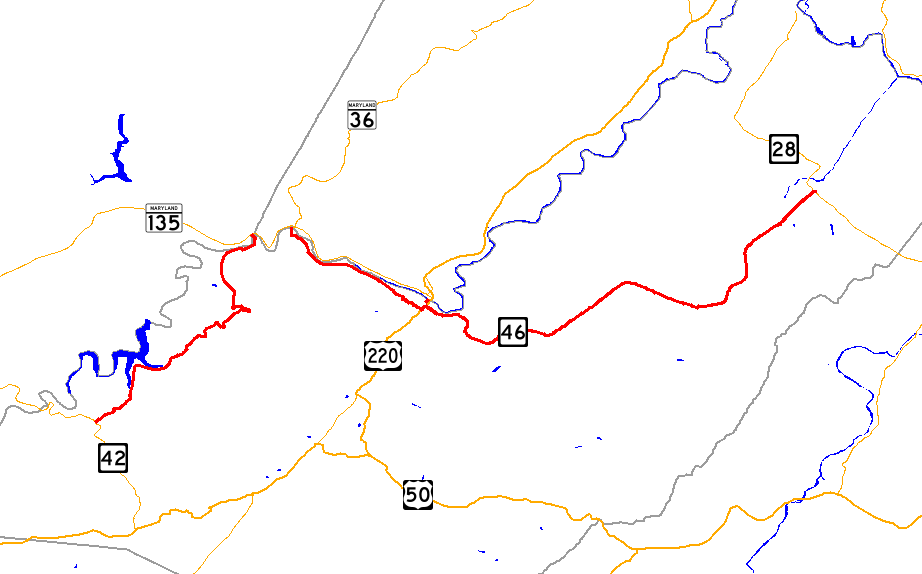
length_mi=32.0
length_round=1
length_ref=Distance calculated usingMicrosoft MapPoint mapping software.]
established=
direction_a=West
starting_terminus=
junction=
direction_b=East
ending_terminus=
counties=Mineral
previous_type=WV
previous_route=45
next_type=WV
next_route=47West Virginia Route 46 is an east-west
state highway split into two segments in Mineral County,West Virginia ,United States . The western terminus of the western segment is atWest Virginia Route 42 in Elk Garden. The eastern terminus is at theMaryland state line north of Beryl, where WV 46 crosses thePotomac River and intersectsMaryland Route 135 on the north bank.The western terminus of the eastern segment is at the Maryland state line in Piedmont, where WV 46 continues into Maryland as
Maryland Route 36 . The eastern terminus is atWest Virginia Route 28 in Fort Ashby.The two segments are connected by a two-mile portion of MD 135 and MD 36 in Maryland's Allegany County.
Communities along the route
*Elk Garden
*Piedmont
*Keyser
*Fort AshbyAttractions
*
Jennings Randolph Lake Junction list
Western segment
Eastern segment
References
Wikimedia Foundation. 2010.