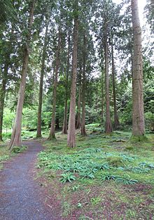
- Coed-y-Brenin
-

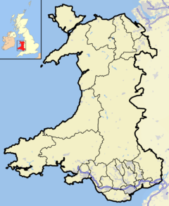
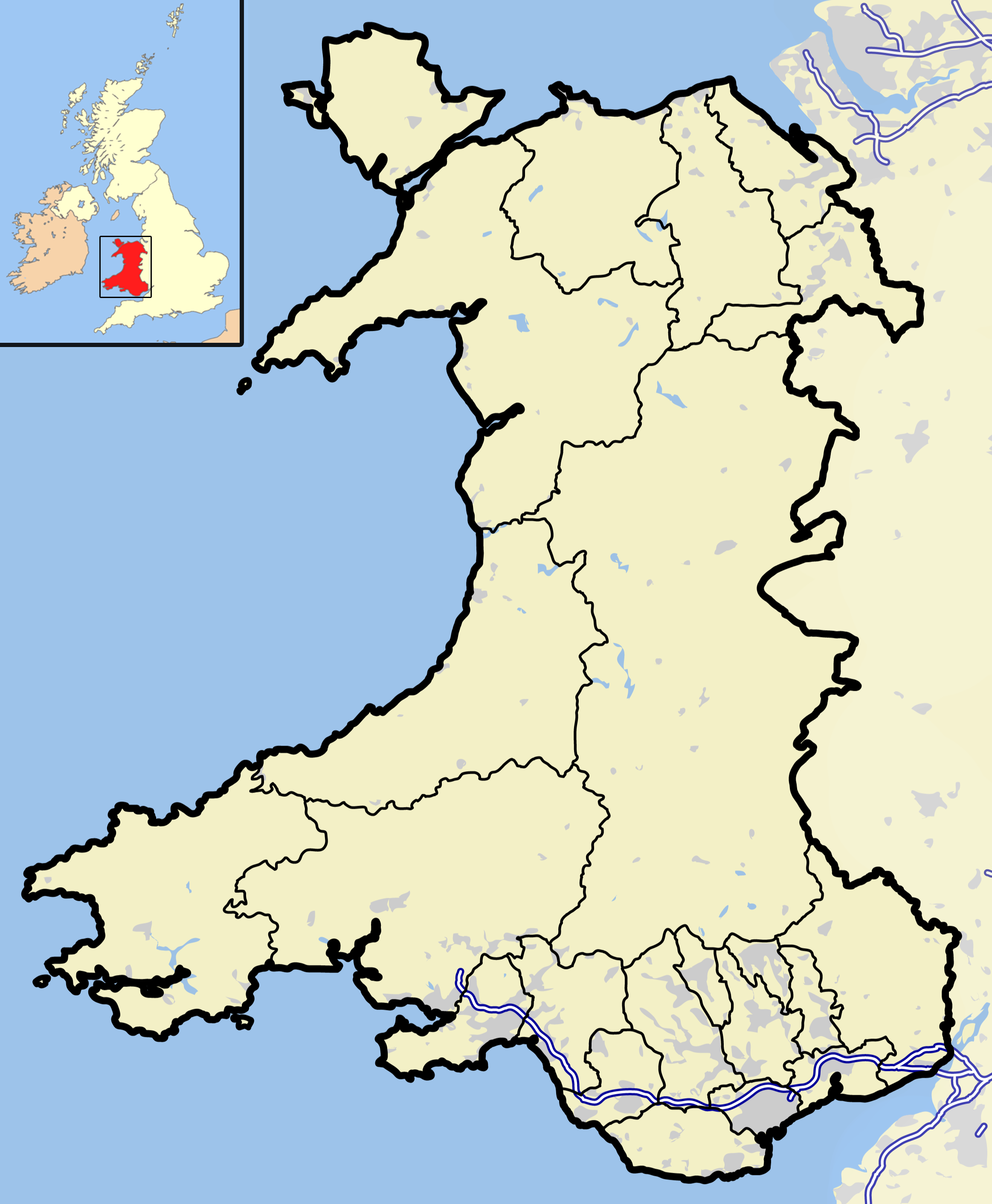
 Map showing the location of Coed-y-Brenin within Wales
Coed-y-Brenin (Welsh for King's Wood) is a forest in the Snowdonia National Park, North Wales near Dolgellau at grid reference SH7127. It is well-known as a mountain bike resort and for its hiking trails. It has several man-made mountain bike singletrack courses in a woodland setting, varying in length from 12 to 38 km (7 to 23 mi), and one dual slalom course.
The site is owned and operated by Forest Enterprise Wales, part of the Forestry Commission, and covers an area of some 9,000 acres (36 km²) around the valleys of the rivers Mawddach, Eden, Gain and Wen.
The site was identified as a potential mountain bike race course in 1990, and the first races were held there in 1991. The initial course had to be chopped out of an impassable rock-strewn terrain.
Shortly afterwards an MTB hire centre, together with a visitor centre and café were opened at Maesgwm. Five waymarked trails were developed by Dafydd Davis who was employed by Forest Enterprise as a Forest Sports Development Adviser, grew Coed-y-Brenin into a major UK mountain biking centre. Davis received an MBE in the 2004 Queen's Birthday Honours list for 'services to forestry' relating to his work on this resort.
A new £1.6 million visitor centre opened in summer 2006[1]. There are also a number of waymarked walking trails around the forest.
Mountain bike trails
It was in the late 1980s that Mark Willmore (currently running Brenin Bikes with his business partner Ben Wylie in Market Drayton, North Shropshire www.breninbikes.co.uk)first had talks with the chief forester (then Paul Sherrington) about bringing mountain biking onto forestry commission land. It was Mark that ran the first trail center at Coed-y-Brenin. Dafyd did take up the baton the following season and has had an influential role in making the center what it is today. It is however, quite wrong for him to be credited with the foundation of the Uk trail center as this is not the case, it was Mark and his then french business partner, Sophie Rebore that brought the french MBK brand of MTB to Wales after seeing the potential of this then fledgling sport in the french ski resorts.
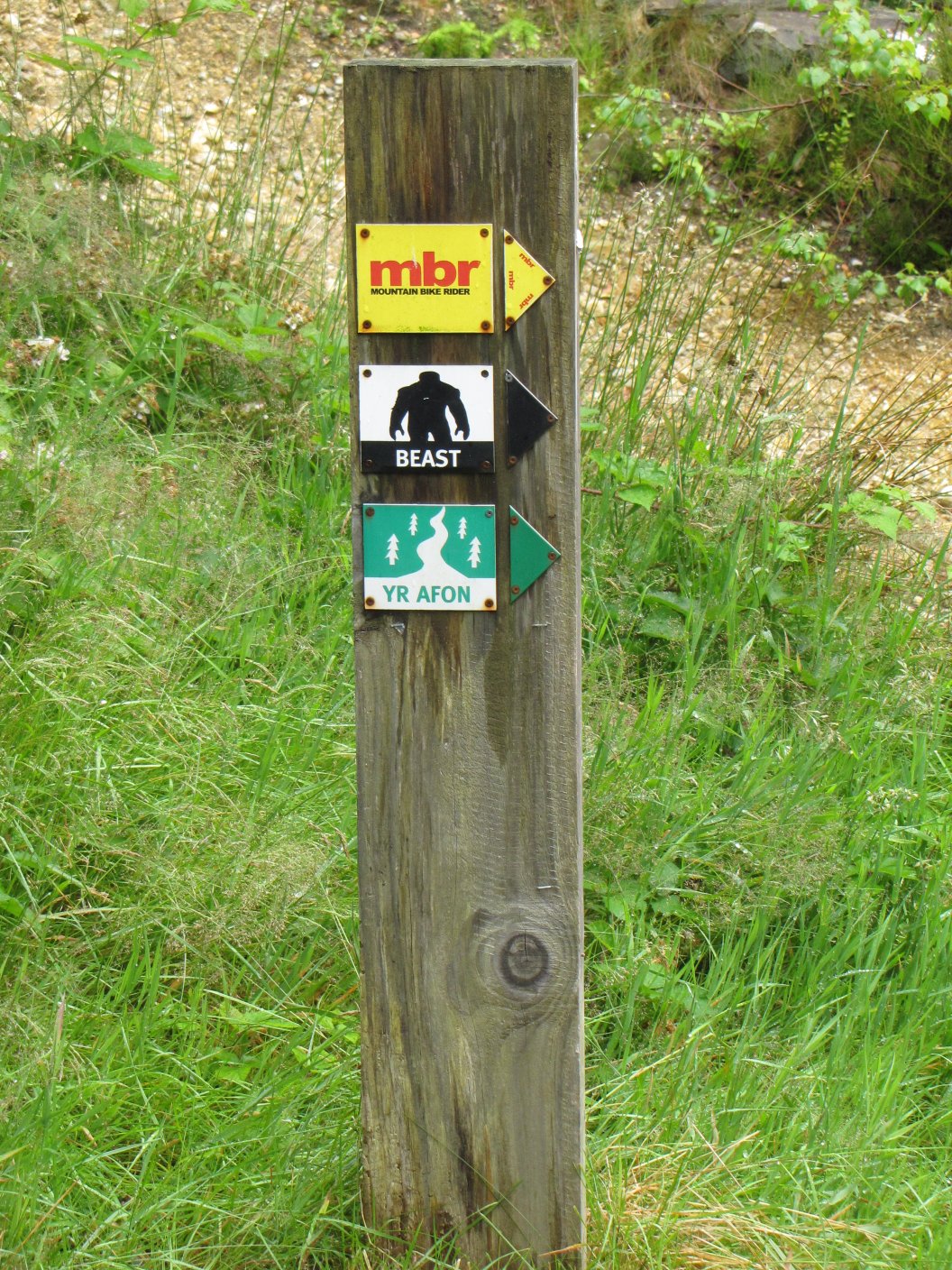
 trail markers
Trail Name Grade Waymarking Length Time needed Afon novice (green) river 8 mi 13 km 1.3 hours Temptiwr difficult (red) apple 5 mi 9 km 1 hours Dragon's Back difficult (red) dragon's back 19 mi 31 km 4 hours Tarw severe (black) bull 12 mi 20 km 2 hours MBR severe (black) MBR logo 11 mi 18 km 2 hours The Beast severe (black) beast 24 mi 38 km 4.5 hours External links
References
Categories:- Tourism in Gwynedd
- Forests and woodlands of Wales
- Mountain biking venues in the United Kingdom
- Mountain biking venues in Wales
- Gwynedd geography stubs
- Cycling stubs

Wikimedia Foundation. 2010.