- Rwamagana
Infobox Settlement
official_name = PAGENAME
other_name =
native_name =
nickname =
settlement_type =
motto =
imagesize = 300px
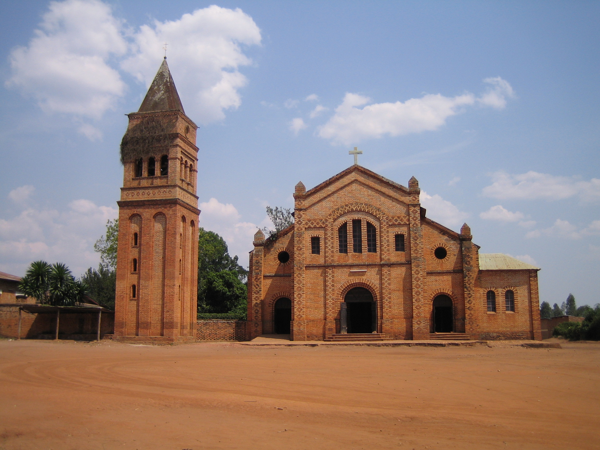
image_caption = Rwamagana Parish Church
flag_size =
image_
seal_size =
image_shield =
shield_size =
image_blank_emblem =
blank_emblem_type =
blank_emblem_size =
mapsize =
map_caption =
mapsize1 =
map_caption1 =
image_dot_
dot_mapsize =
dot_map_caption =
dot_x = |dot_y =
pushpin_
pushpin_label_position =bottom
pushpin_map_caption =Location in Rwanda
subdivision_type = Country
subdivision_name =
subdivision_type1 = Admin. Province
subdivision_name1 = East Province
subdivision_type2 = District
subdivision_name2 =Rwamagana District
subdivision_type3 =
subdivision_name3 =
subdivision_type4 =
subdivision_name4 =
government_footnotes =
government_type =
leader_title =Mayor
leader_name =
leader_title1 =
leader_name1 =
leader_title2 =
leader_name2 =
leader_title3 =
leader_name3 =
leader_title4 =
leader_name4 =
established_title =
established_date =
established_title2 =
established_date2 =
established_title3 =
established_date3 =
area_magnitude =
unit_pref =Imperial
area_footnotes =
area_total_km2 = 87
area_land_km2 =
area_water_km2 =
area_total_sq_mi =
area_land_sq_mi =
area_water_sq_mi =
area_water_percent =
area_urban_km2 =
area_urban_sq_mi =
area_metro_km2 =
area_metro_sq_mi =
area_blank1_title =
area_blank1_km2 =
area_blank1_sq_mi =
population_as_of = 2002
population_footnotes =
population_note =
population_total = 47,203
population_density_km2 =
population_density_sq_mi =
population_metro =
population_density_metro_km2 =
population_density_metro_sq_mi =
population_urban =
population_density_urban_km2 =
population_density_urban_sq_mi =
population_blank1_title =Ethnicities
population_blank1 =
population_blank2_title =Religions
population_blank2 =
population_density_blank1_km2 =
population_density_blank1_sq_mi =
timezone =
utc_offset =
timezone_DST =
utc_offset_DST =
latd=1 |latm=57 |lats= |latNS=S
longd=30 |longm=26 |longs= |longEW=E
elevation_footnotes =
elevation_m =
elevation_ft =
postal_code_type =
postal_code =
area_code =
blank_name =
blank_info =
blank1_name =
blank1_info =
website =
footnotes =Rwamagana is a city and capital of both Rwamagana district and the East Province of
Rwanda Description
Rwamagana lies approximately 50km from
Kigali , on the newly renovated road leading east towardsTanzania . There was formerly a large amount of traffic running through the centre, particularly freight to and fromTanzania , but with the recent creation of a bypass, the centre of the city is now quieter. The city lies mainly along two roads, the main east-west route, and a spur leading off to the south. The main market and theBanque de Kigali are on this spur, while the city's two petrol stations, taxi-bus parks andpost office are on the east-west road. There is a large church at the western end of the city, adjacent to the main secondary school, and a newconference centre at the eastern end of the bypass.*Population: 47,203 (2002 figures); area: 87 square kilometers.
Wikimedia Foundation. 2010.

