- Phou Bia
-
Phou Bia Location of Phou Bia in Laos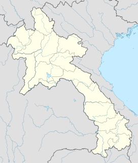
 Phou Bia
Elevation 2,819 m (9,249 ft) Prominence 2,079 m (6,821 ft) [1] Listing Country high point
UltraLocation Location  Laos
LaosRange Annamese Cordillera Coordinates 18°59′00″N 103°08′00″E / 18.9833333°N 103.1333333°ECoordinates: 18°59′00″N 103°08′00″E / 18.9833333°N 103.1333333°E Phou Bia (Lao: ພູ ເບຍ; meaning "Mountain of Beer.") is the highest mountain in Laos and is located in the Annamese Cordillera, in the Phou Ane Plateau in Xiangkhouang Province.
It is in a restricted military area near the abandoned Long Chen air base, and for this reason sees extremely few outside visitors. Unexploded ordnance further complicates access. As of July 2008, there has been no known ascent by a non-Lao person for at least 30 years.[2]
The area is remote, covered with jungle, and has been used by Hmong guerilla soldiers. In 1970s, ca 60,000 Hmongs took refuge at the Phou Bia massif. There have been reports of smaller Hmong hideouts in the area as recently as 2006.[3]
On 10 April 1970, an Air America C-130A aircraft crashed into the mountain.[4]
For its altitude, the climate is cold and mostly cloudy. Although no snow has been reported for decades, it is documented that as late as the first years of the 20th century, snow fell occasionally on its top.
References
- ^ Phou Bia - Peakbagger.com
- ^ "Phou Bia (Laos' highest peak)". Lonely Planet Thorntree. http://www.lonelyplanet.com/thorntree/thread.jspa?messageID=13663915.
- ^ "Hmong Women, Children Leave Hiding Place in Laos Special Zone; Call US for Help by Cell Phone". Huntington News Network. http://www.huntingtonnews.net/national/060708-staff-laos.html.
- ^ "Casualty and Rescue List". Thomas E. Lee. http://www.angelfire.com/home/laoslist/crl70.html.
See also
- List of mountains in Laos
- List of Southeast Asian mountains
Categories:- Laos geography stubs
- Mountains of Laos

Wikimedia Foundation. 2010.