Otta (river)

Otta (river)
Otta
Origin Skjåk
Mouth Gudbrandsdalslågen at Otta
Basin countries Norway
Basin area 3,948 km²
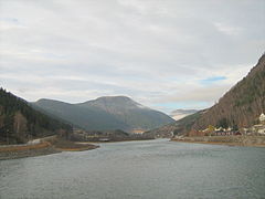
Otta River near the town of the same name
Otta river in front of Otta.jpg

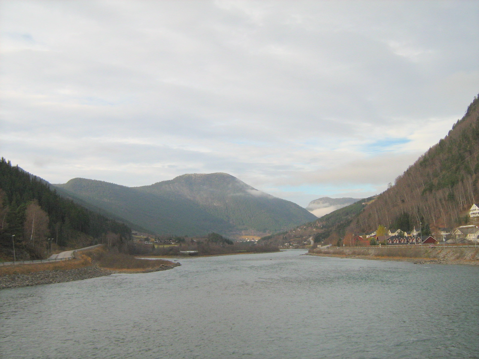
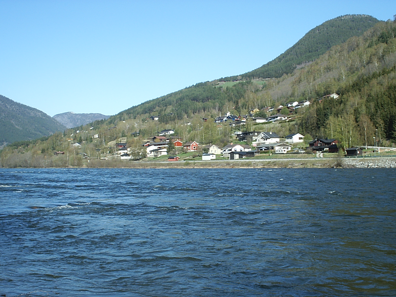
The Otta river flows through the Ottadal valley in the municipalities of Skjåk, Lom, Vågå and Sel in Norway.

The river Otta begins in Skjåk municipality and flows into lake Vågåvatn. Exiting the Vågåvatn at Vågåmo, it continues its journey through the Ottadal leaving Vågå municipality to meet the Gudbrandsdalslågen at the town Otta in Sel municipality.

The watershed of the Otta drains an area of 3948 km².

The name

The name of the river is probably derived from the Norse verb ótta 'scare, terrify'. The water of the river comes from glaciers, and the flooding of the river can be strong and fiercely.

Coordinates: 61°46′12″N 9°31′52″E / 61.77°N 9.53111°E / 61.77; 9.53111


Wikimedia Foundation. 2010.

Игры ⚽ Поможем написать реферат

Look at other dictionaries:

  • Otta River — Infobox River river name = Otta caption = origin = Skjåk mouth = Vågåvatn basin countries = Norway length = elevation = mouth elevation = discharge = watershed = 3,948 km²The Otta river flows through the Ottadal valley in the municipalities of… …   Wikipedia

  • Otta, Norway — mountains near Otta The town of Otta …   Wikipedia

  • Otta — See also the disambiguation page for Ota Otta may refer to: A preliminary name of the yotta SI unit prefix. In Norse mythology, Hildisvini, also known as Otta the Simple , who was Freya s lover. Otta, Norway, a Norwegian town in Gudbrandsdal. The …   Wikipedia

  • Ottauquechee River — Quechee Gorge The Ottauquechee River (pronounced AWT ah KWEE chee) is a 41.4 mile long (66.6 km)[1] river in eastern Vermont in the United States.[ …   Wikipedia

  • Ottadalen — Otta River at the village of Otta Ottadalen is a valley in the municipalities of Skjåk, Lom, Vågå and Sel in the county of Oppland, Norway. Ottadalen is one of the lateral valleys of Gudbrandsdalen. Others include Gausdal, Heidal …   Wikipedia

  • Sel — Infobox Kommune name=Sel idnumber=0517 county=Oppland landscape=Gudbrandsdalen capital=Otta governor=Dag Erik Pryhn (Ap) governor as of=2003 arearank=124 area=905 arealand=888 areapercent=0.28 population as of=2004 populationrank=164 population=6 …   Wikipedia

  • Vågå — Infobox Kommune name=Vågå idnumber=0515 county=Oppland landscape=Gudbrandsdalen capital=Vågåmo governor=Rune Øygard (Ap) governor as of=2003 arearank=68 area=1330 arealand=1253 areapercent=0.41 population as of=1.1.2007 populationrank=237… …   Wikipedia

  • Gudbrandsdalslågen — Infobox River river name = Gudbrandsdalslågen caption = origin = Lesjaskogsvatnet mouth = Mjøsa basin countries = length = 204 km elevation = 611 mouth elevation = 123 m discharge = watershed = The Gudbrandsdalslågen (or the Lågen [The word lågen …   Wikipedia

  • Dale, Sel — Dale is a village in the municipality of Sel, Norway, located a few kilometres west of Otta, upstream on the Otta River. Its population (SSB 2005) is 773. Coordinates: 61°46′31″N 9°29′49″E /  …   Wikipedia

  • Djupvatnet — View of Djupvatnet Location Stranda, Møre og Romsdal, Norway Coordinates …   Wikipedia

Share the article and excerpts

Direct link
Do a right-click on the link above
and select “Copy Link”