- Oripää Airfield
-
Oripää Airfield
Oripään lentokenttä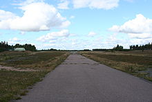
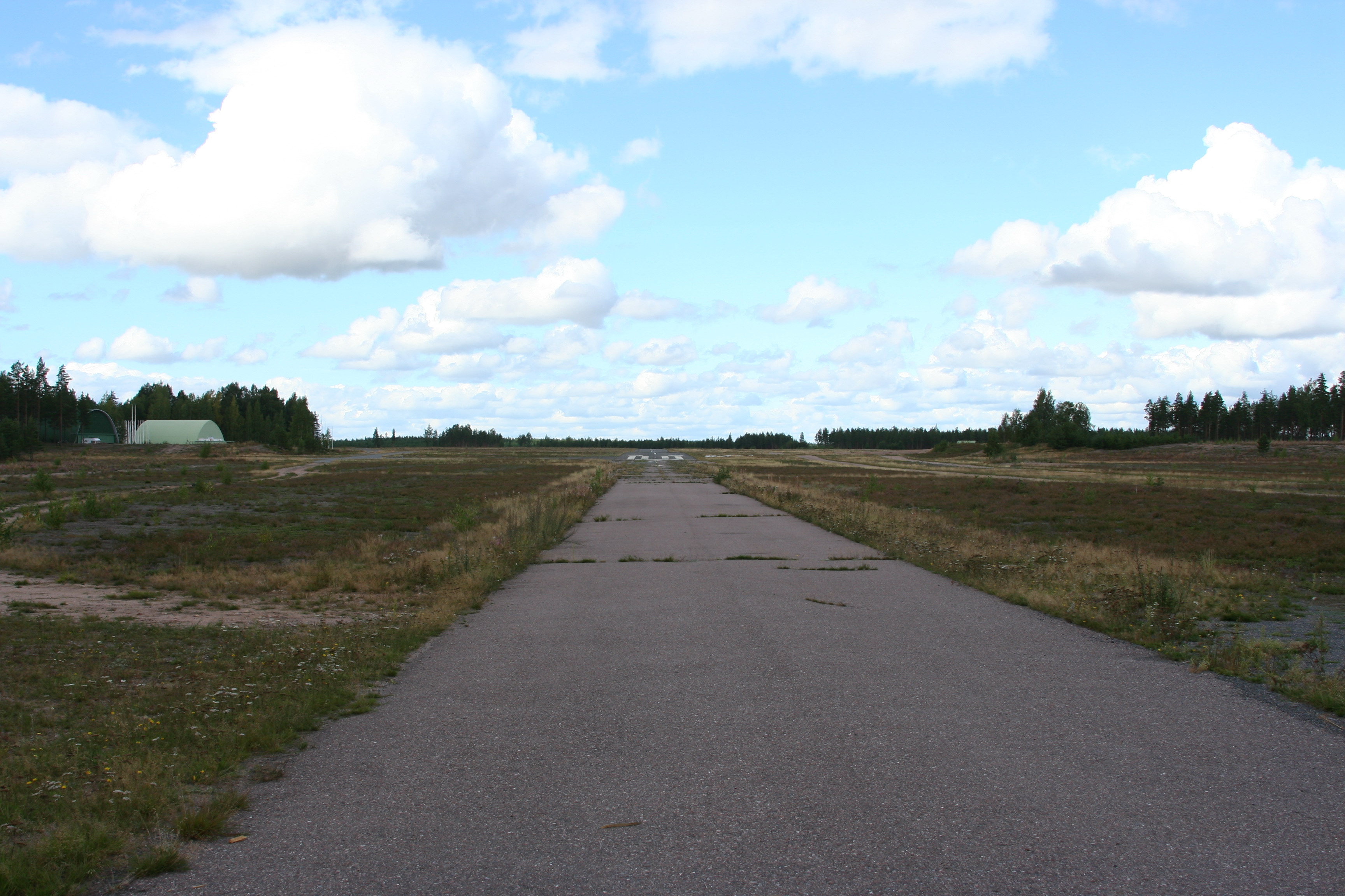
Runway 14/32 seen from Hirvikoskentie IATA: none – ICAO: EFOP Summary Operator Turun Lentokerho ry Location Oripää, Finland Elevation AMSL 331 ft / 101 m Coordinates 60°52′35″N 022°44′41″E / 60.87639°N 22.74472°ECoordinates: 60°52′35″N 022°44′41″E / 60.87639°N 22.74472°E Website Map Location within Finland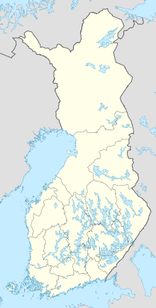
 EFOP
EFOPRunways Direction Length Surface m ft 06/24 900 2,953 oilgravel 14/32 940 3,084 oilgravel Source: VFR Finland[1] Oripää Airfield is an airfield in Oripää, Finland,[1] 2 kilometres (1.2 mi) northeast of Oripää municipal centre.
See also
References
- ^ a b "Oripää, Finland – EFOP". VFR Suomi / Finland. Vantaa: Finavia. 18 November 2010. https://ais.fi/ais/vfr/aerodromes/EFOP.html. Retrieved 10 August 2011.
External links
- Turun Lentokerho ry – Oripää Airfield (official site)
- VFR Suomi/Finland – Oripää Airfield
- Lentopaikat.net – Oripää Airfield (Finnish)
Categories:- Airports in Finland
- Oripää
- European airport stubs
- Finnish building and structure stubs
- Finland transport stubs

Wikimedia Foundation. 2010.