- OpenAerialMap
-
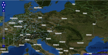
OpenAerialMap is an open collection of aerial photographs, collected into a single coherent view of the world. It is an attempt to gather satellite imagery and aerial photography data from various free and open aerial imagery datasources around the world.
Work has ceased on first prototype version of OpenAerialMap, and the imagery server and website are now offline. The project wiki gives the reasons for this, but also has a page for coordinating a new initiative.
External links
- OpenAerialMap main site - now offline
- OpenAerialMap project wiki
Categories:- Cartography stubs
- Website stubs
- Photography stubs
- Collaborative mapping
- Open content projects
- Web mapping
- Maps
- Geographic information systems
Wikimedia Foundation. 2010.

