- Ootha, New South Wales
-
Ootha
New South Wales
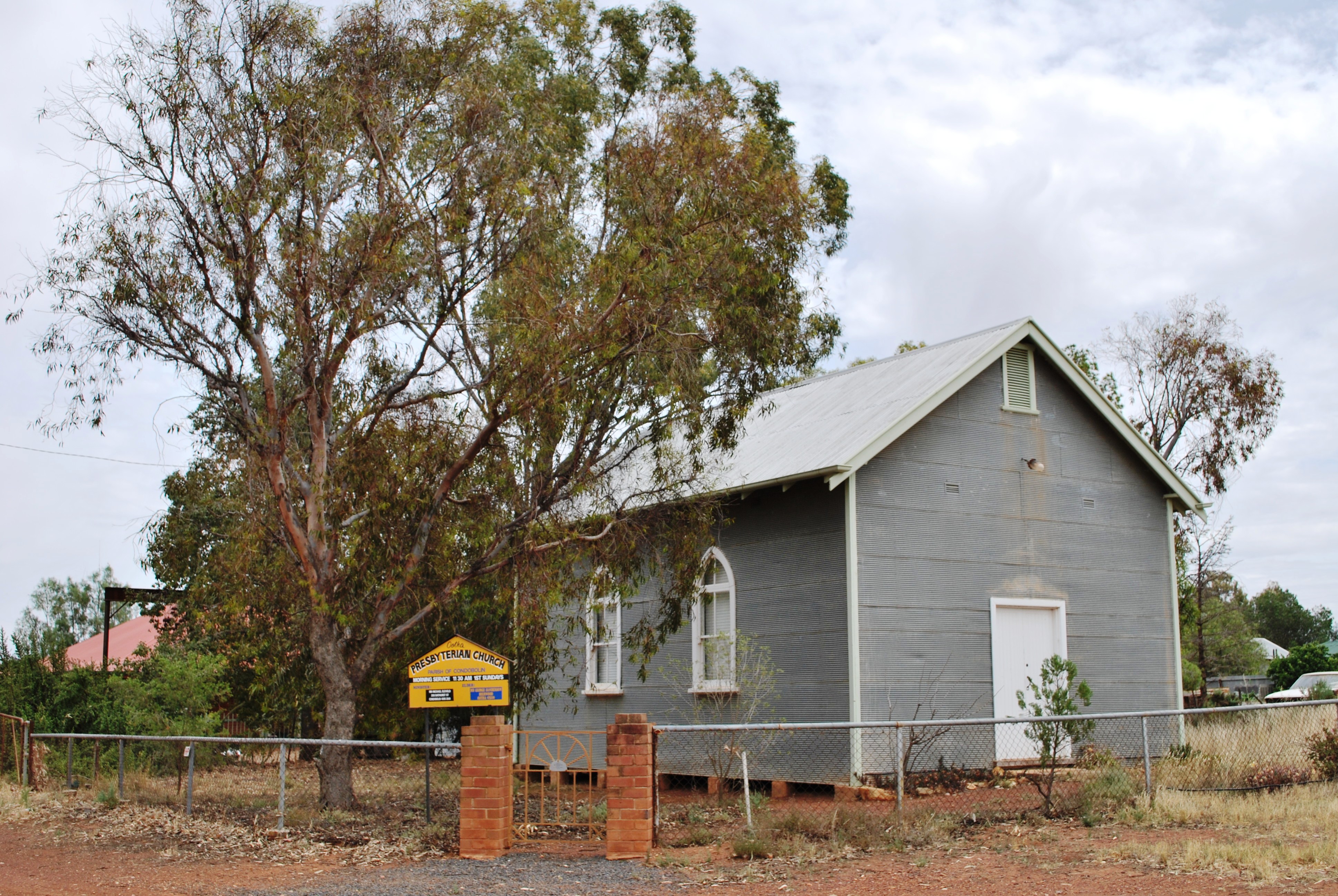
Presbyterian church
 Ootha
OothaPopulation: 94[1] Postcode: 2875 Coordinates: 33°07′S 147°27′E / 33.117°S 147.45°ECoordinates: 33°07′S 147°27′E / 33.117°S 147.45°E Location: - 430 km (267 mi) W of Sydney
- 73 km (45 mi) W of Parkes
- 30 km (19 mi) E of Condobolin
LGA: Lachlan Shire State District: Dubbo Federal Division: Calare Ootha is a village in the Central West region of New South Wales, Australia. The village is in the Lachlan Shire Local Government area, 430 kilometres (270 mi) west of the state capital, Sydney. At the 2006 census, Ootha and the surrounding area had a population of 94.[1] The place name is derived from an aboriginal word for 'ear'.[2]
Ootha Post Office opened on 15 December 1914 and closed in 1980.[3]
References
- ^ a b Australian Bureau of Statistics (25 October 2007). "Ootha (State Suburb)". 2006 Census QuickStats. http://www.censusdata.abs.gov.au/ABSNavigation/prenav/LocationSearch?collection=Census&period=2006&areacode=SSC18469&producttype=QuickStats&breadcrumb=PL&action=401. Retrieved 2009-01-18.
- ^ "Ootha". Geographical Names Board of New South Wales. http://www.gnb.nsw.gov.au/name_search/extract?id=ujcklMKmuj. Retrieved 10 November 2009.
- ^ Premier Postal History. "Post Office List". Premier Postal Auctions. https://www.premierpostal.com/cgi-bin/wsProd.sh/Viewpocdwrapper.p?SortBy=NSW&country=. Retrieved 2011-05-26.
Albert · Burcher · Condobolin · Fifield · Lake Cargelligo · Ootha · Tottenham · Tullibigeal
Main Article: Local Government Areas of New South WalesCategories:- Towns in New South Wales
- Towns in the Central West, New South Wales

Wikimedia Foundation. 2010.