- Tombolo, Veneto
-
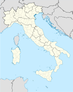
Tombolo — Comune — Comune di Tombolo Location of Tombolo in Italy Coordinates: 45°39′N 11°50′E / 45.65°N 11.833°ECoordinates: 45°39′N 11°50′E / 45.65°N 11.833°E Country Italy Region Veneto Province Province of Padua (PD) Frazioni Onara Area – Total 11.1 km2 (4.3 sq mi) Elevation 42 m (138 ft) Population (Dec. 2004) – Total 7,467 – Density 672.7/km2 (1,742.3/sq mi) Time zone CET (UTC+1) – Summer (DST) CEST (UTC+2) Postal code 35019 Dialing code 049 Website Official website Tombolo is a comune (municipality) in the Province of Padua in the Italian region Veneto, located about 45 km northwest of Venice and about 25 km north of Padua. As of 31 December 2004, it had a population of 7,467 and an area of 11.1 km².[1]
The municipality of Tombolo contains the frazione (subdivision) Onara.
Tombolo borders the following municipalities: Cittadella, Galliera Veneta, San Giorgio in Bosco, San Martino di Lupari, Villa del Conte.
Demographic evolution

References
External links
Categories:- Cities and towns in Veneto
- Communes of the Province of Padua
- Veneto geography stubs
Wikimedia Foundation. 2010.

