- Nootdorp RandstadRail station
-
Nootdorp 
Nootdorp RandstadRail station in 2006Station statistics Coordinates 52°02′52″N 4°24′52″E / 52.04778°N 4.41444°ECoordinates: 52°02′52″N 4°24′52″E / 52.04778°N 4.41444°E Lines E Platforms 2 Other information Opened 10 Sep 2006 Owned by Nederlandse Spoorwegen Location 

Nootdorp is a RandstadRail station located in Nootdorp, The Netherlands.
Contents
History
The RandstadRail station opened on 10 September 2006 for the RET Erasmuslijn metro service, currently line E. The station features 2 platforms, by a level crossing of the 's Gravenweg. These have platforms that are the same height as the train doors.
Between 1908 and 1938 the station Nootdorp Oost was located here.
In 2006 and 2007 the station was the terminus of all metro services, when they only operated Rotterdam Hofplein - Nootdorp. The station lies near the new housing area 's-Gravenhout and the industrial estate Grote Driehoek.
Train services
The following services currently call at Nootdorp:
Service Route Material Frequency E Den Haag Centraal - Laan van NOI - Voorburg 't Loo - Leidschendam-Voorburg - Forepark - Leidschenveen - Nootdorp - Pijnacker Centrum - Pijnacker Zuid - Berkel Westpolder - Rodenrijs - Meijersplein - Melanchthonweg - Blijdorp - Rotterdam Centraal RET Metro 6x per hour (every 10 minutes), evenings and Sundays: 4x per hour (every 15 minutes) Preceding station RandstadRail Following station Pijnacker Centrumtoward Rotterdam CentraalLine E (RET) Leidschenveentoward Den Haag CentraalBus services
These services depart from near the station: Follow the cycle path southwards, over the Hofweg, walk about 200m.
- 131 (Nootdorp Centrum - Nootdorp RR - Pijnacker Centrum RR - Pijnacker Gemeentekantoor (operated by Veolia Haaglanden)
Gallery
-
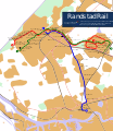
RandstadRail Network Map
-

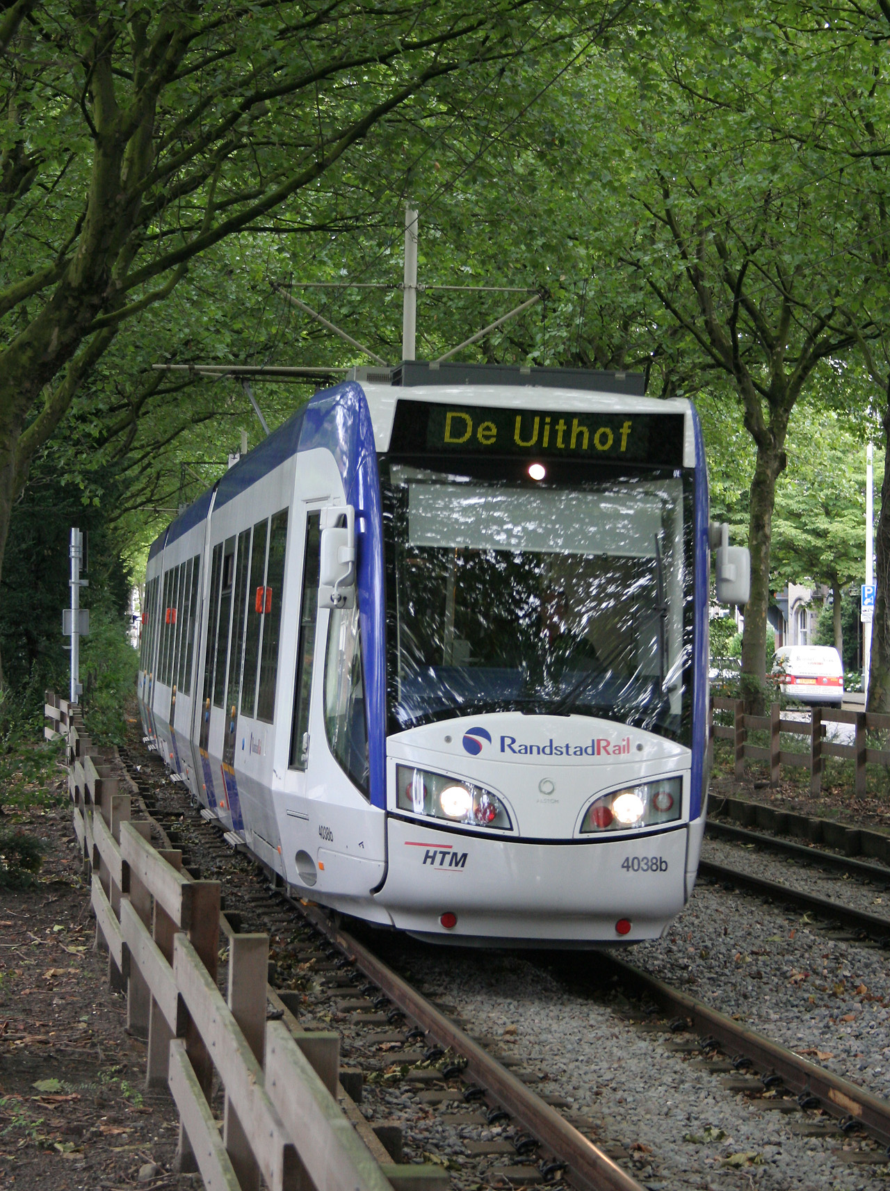
A RegioCitadis on RR4
-
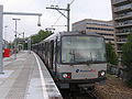
An RET Metro set that was converted for RandstadRail operation.
-

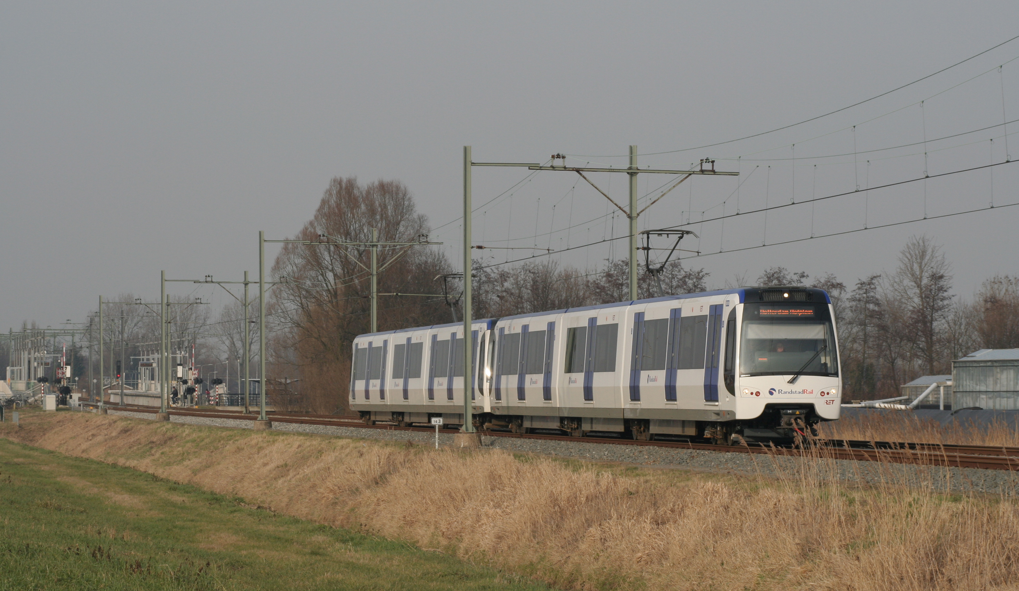
A new RET RandstadRail set, which replaced the Metro sets.
-

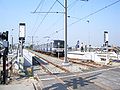
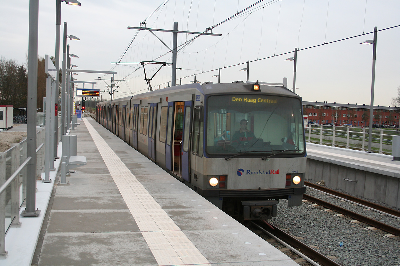
The station with a RET metro set heading to Den Haag Centraal.
-
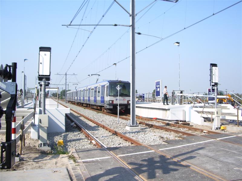
The station in 2006, while it was still the terminus station.
Categories:- Railway stations opened in 2006
- RandstadRail stations


Wikimedia Foundation. 2010.