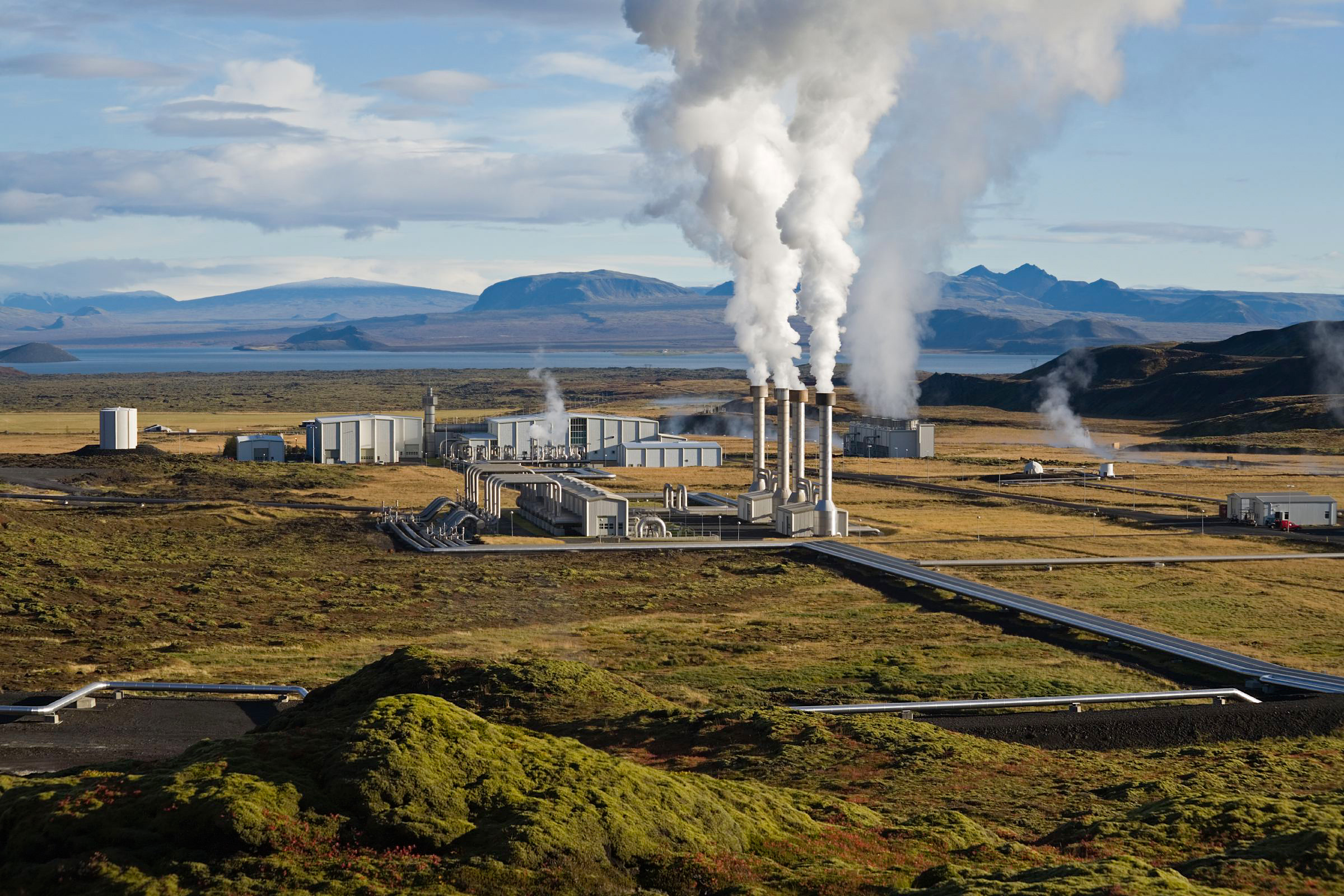
- Nesjavellir Geothermal Power Station
-
Nesjavellir Geothermal Power Station 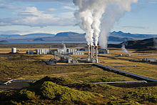
Nesjavellir Geothermal Power StationLocation of Nesjavellir Geothermal Power Station

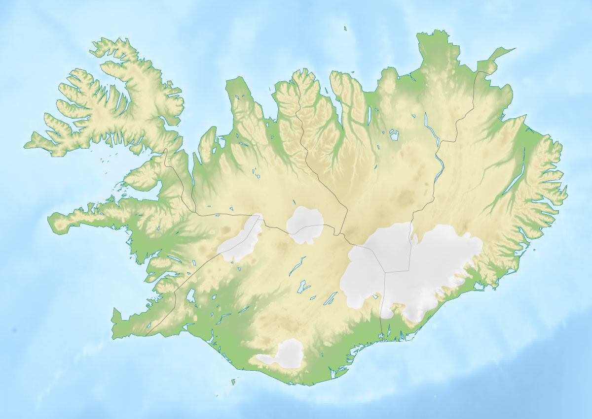
Country Iceland Location Thingvellir Coordinates 64°6′29″N 21°15′23″W / 64.10806°N 21.25639°WCoordinates: 64°6′29″N 21°15′23″W / 64.10806°N 21.25639°W Status Operational Commission date May 1990 Owner(s) Orkuveita Reykjavíkur Constructor(s) Mannvit Engineering Geothermal plant information Type Dry steam Thermal capacity 300 MW Cogeneration? yes Power generation information Installed capacity 120 MW The Nesjavellir Geothermal Power Station is the second largest geothermal power station in Iceland. The facility is located 177 m (581 ft) above sea level in the southwestern part of the country, near Thingvellir and the Hengill Volcano.
Plans for utilizing the Nesjavellir area for geothermal power and water heating began in 1947, when some boreholes were drilled to evaluate the area's potential for power generation. Research continued from 1965 to 1986. In 1987, the construction of the plant began, and the cornerstone was laid in May 1990. The station produces approximately 120MW of electrical power, and delivers around 1,800 litres (480 US gal) of hot water per second, servicing the hot water needs of the Greater Reykjavík Area.
See also
- Geothermal power in Iceland
- List of largest power stations in the world
- Renewable energy in Iceland
External links
Categories:- Buildings and structures completed in 1990
- Geothermal power stations in Iceland
Wikimedia Foundation. 2010.