- Nagao Station (Kagawa)
-
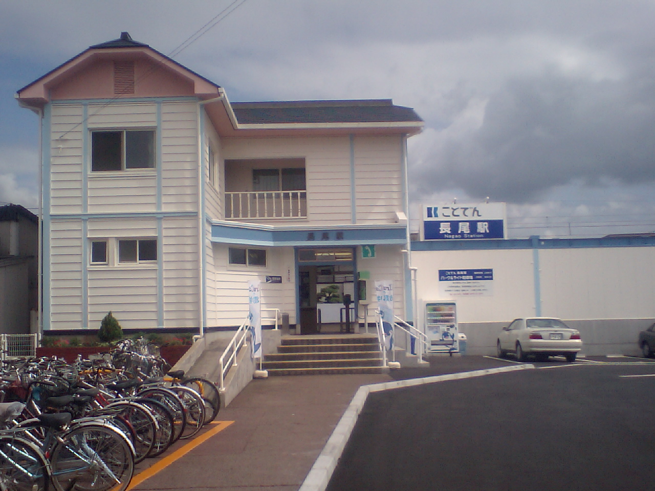
Nagao Station長尾駅
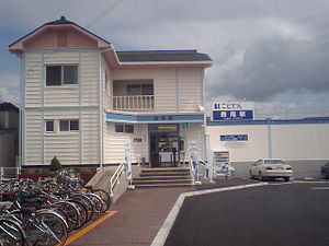
Station exterior, July 2007 Location Prefecture Kagawa
(See other stations in Kagawa)City Sanuki History Year opened 1912 Rail services Operator(s) Takamatsu-Kotohira Electric Railroad Line(s) Kotoden Nagao Line  There is a bus stop near this station
Nagao Station (長尾駅 Nagao-eki) is a railway station in Sanuki, Kagawa, Japan, operated by the Takamatsu-Kotohira Electric Railroad.
Contents
Lines
Nagao Station forms the terminus of the Kotoden Nagao Line from Kawaramachi.
Station layout
The station consists of a single side platform serving one track. An additional storage track is situated on the north side.
Adjacent stations
« Service » Kotoden Nagao Line Kumommyō Local Terminus History
The station opened on 30 April 1912.[1]
References
(Takamatsu-Chikkō - Kataharamachi -) Kawaramachi - Hanazono - Hayashimichi - Kita-higashiguchi - Motoyama - Mizuta - Nishimaeda - Takata - Ikenobe - Nōgakubumae - Hiragi - Gakuen-dōri - Shirayama - Ido - Kumommyou - Nagao
Coordinates: 34°15′59.8″N 134°10′9.8″E / 34.266611°N 134.169389°ECategories:- Railway stations in Kagawa Prefecture
- Railway stations opened in 1912
- Stations of Takamatsu-Kotohira Electric Railroad
Wikimedia Foundation. 2010.