- Mudhegau
-
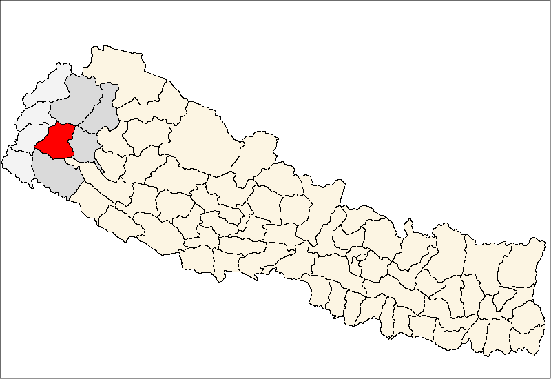
Mudhegau — Village development committee — Location in Nepal
 Mudhegau
Coordinates: 29°11′N 80°49′E / 29.18°N 80.81°ECoordinates: 29°11′N 80°49′E / 29.18°N 80.81°E Country  Nepal
NepalZone Seti Zone District Doti District Population (1991) – Total 2,585 Time zone Nepal Time (UTC+5:45) Mudhegau is a village development committee in Doti District in the Seti Zone of western Nepal. At the time of the 1991 Nepal census it had a population of 2585.[1]
References
- ^ "Nepal Census 2001". Nepal's Village Development Committees. Digital Himalaya. http://www.digitalhimalaya.com/collections/nepalcensus/form.php?selection=1. Retrieved 19 November 2008.
External links
Banalek · Banja Kakani · Barchhen · Basudevi · Bhawardanda · Bhdhegau · Bhumirajmandau · Changra · Chhapali · Chhatiwan · Dahakalikasthan · Daud · Dhanglagau · Dhirkamandau · Durgamandau · Gadasera · Gaguda · Gaihragau · Ganjari · Ghanteswor · Girichauka · Jijodamandau · Kadamandau · Kalena · Kalikasthan · Kanachaur · Kapalleki · Kedar Akhada · Khatiwada · Khirsain · Ladagada · Lamikhal · Lana Kedareswor · Latamandau · Laxmi Nagar · Mahadevsthan · Mannakapadi · Mudabhara · Mudhegau
· Nirauli · Pachanali · Pokhara · Ranagau · Sanagau · Saraswotinagar · Satphari · Simchaur · Tijali · Tikha · Tikhatar · Toleni · Wagalek · Warpata Categories:
- Populated places in Doti District
- Seti Zone geography stubs

Wikimedia Foundation. 2010.