- Mount Waldron
-
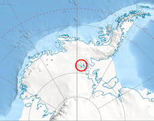 Location of Sentinel Range in Western Antarctica.
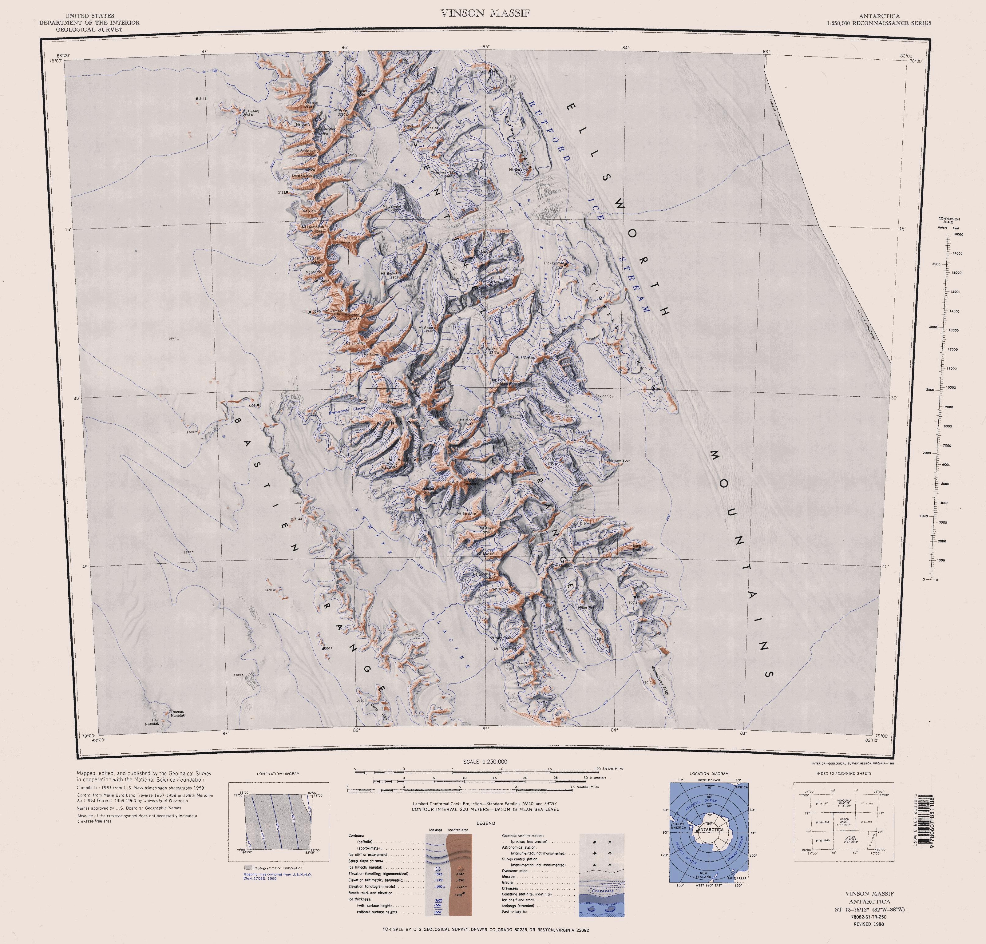
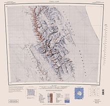 Sentinel Range map.
Mount Waldron is a mountain (3,100 m) 3 nautical miles (6 km) north of Mount Tuck, surmounting Veregava Ridge in the Sentinel Range, Ellsworth Mountains. Discovered by U.S. Navy Squadron VX-6 on photographic flights of December 14–15, 1959, and mapped from these photos by United States Geological Survey (USGS). Named by Advisory Committee on Antarctic Names (US-ACAN) for Kenneth L. Waldron, construction electrician, U.S. Navy, a member of the IGY South Pole Station winter party, 1957.
Maps
- Vinson Massif. Scale 1:250 000 topographic map. Reston, Virginia: US Geological Survey, 1988.
 This article incorporates public domain material from the United States Geological Survey document "Mount Waldron" (content from the Geographic Names Information System).
Coordinates: 78°27′S 84°53′W / 78.45°S 84.883°W

This Ellsworth Land location article is a stub. You can help Wikipedia by expanding it.