- Mooghaun
-
Mooghaun
Múchán— Hillfort — 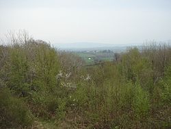 Location in Ireland
 Mooghaun
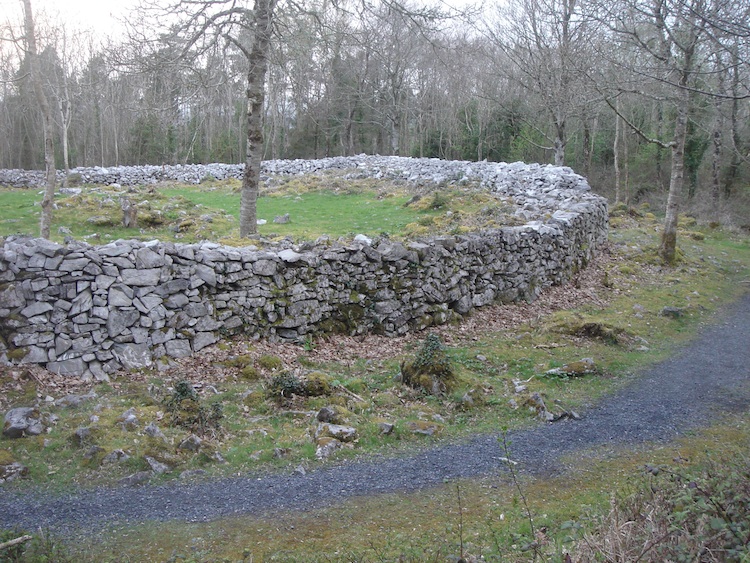
Coordinates: 52°46′59″N 8°52′44″W / 52.783°N 8.879°WCoordinates: 52°46′59″N 8°52′44″W / 52.783°N 8.879°W Country Ireland Province Munster County County Clare Elevation 70 m (230 ft) Irish Grid Reference R409713 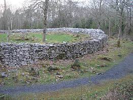 The cashel in the middle rampart
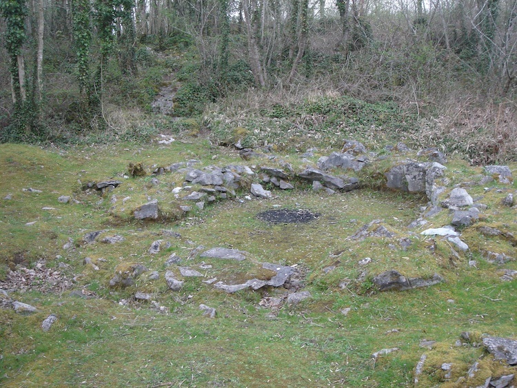
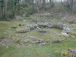 Foundations of a round house
Mooghaun (Irish: Múchán)[1] is a late Bronze Age hill fort located in County Clare, Ireland. It is a well preserved, recently excavated site, occupying an entire hill with wide views of the surrounding lands. Believed to be the largest hill fort in Ireland,[2] it is one of the region's main tourist attractions.
Contents
Location and physical description
Mooghaun is situated in the parish of Mooghaun South, 3 kilometres (1.9 mi) north north-east of Newmarket on Fergus, on the grounds of Dromoland Castle.[2]
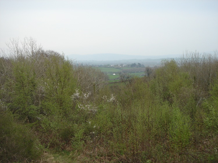
It has three concentric limestone ramparts of defence,[2] all built at the same time. The outermost wall encloses 27.18 acres (11.00 ha), the middle one 7.41 acres (3.00 ha), and the innermost 2.04 acres (0.83 ha).[3] It occupies the summit of a hill with views, nowadays largely obscured by trees, of the chiefdom it controlled. The grounds also hold a number of cashels which are of later date.
History
The hill fort was built at the beginning of the late Bronze Age, around 950 BC. At the time, Mooghaun was the largest and most important site in the area. It holds three cashels, which were built after 500 AD.[4] For the construction of the defending walls, stones of the original ramparts were used. Beside the cashels, outlines of round houses were found.[5]
Perhaps 10 or 12 families lived within the bounds of the hill fort. These families tended to farm land within the enclosure and also kept livestock there.[6] They lived mainly in the middle enclosure. [7]
The people who directed its construction were the leaders over a chiefdom in south-east Clare that covered an area of about 450 square kilometres (170 sq mi).[8] The chiefdom is considered to have been bordered by the Shannon estuary to the south, and mountain ranges to the north, east and west. Their territory was divided into smaller territories of about 25 square kilometres (9.7 sq mi), which were controlled by important families. These lived in smaller defended hilltop sites and lake settlements.[9] The less important families lived in settlements that were enclosed by low stone banks. These often occurred in clusters, each farming an area of about 154 to 315 hectares (381 to 778 acres).[10]
The site of the cashels was used in the late eighteenth or early nineteenth century by the inhabitants of the nearby Dromoland estate as a viewing point or even a picnic spot. To facilitate this use, much of the interior was destroyed and repairs were made to the walls.[11]
References
- ^ "An Múchán Thuaidh gin. an Mhúcháin Thuaidh / Mooghaun North". Placenames Database of Ireland. Government of Ireland. http://www.logainm.ie/6424.aspx. Retrieved 25 June 2011.
- ^ a b c "Mooghaun Hillfort". Department of Anthropology, University of Notre Dame. http://www.nd.edu/~ikuijt/Ireland/Sites/sbergin/moogtext.htm#top. Retrieved April 20, 2011.
- ^ Grogan, 1993 (cited by University of Notre Dame reference)
- ^ Grogan, 1999 p30
- ^ Grogan, 1999 p31
- ^ Grogan, 1999 p20
- ^ Grogan, 1999 p33
- ^ Grogan, 1999 p11; p14
- ^ Grogan, 1999 p14
- ^ Grogan, 1999 p16
- ^ Grogan, 1999 p31
Bibliography
- Grogan, Eoin (1999), The late bronze age hill fort at Mooghaun south, ISBN 0-9536973-0-4
External links
Categories:- Untranslated Irish place names
- Forts in Ireland

Wikimedia Foundation. 2010.