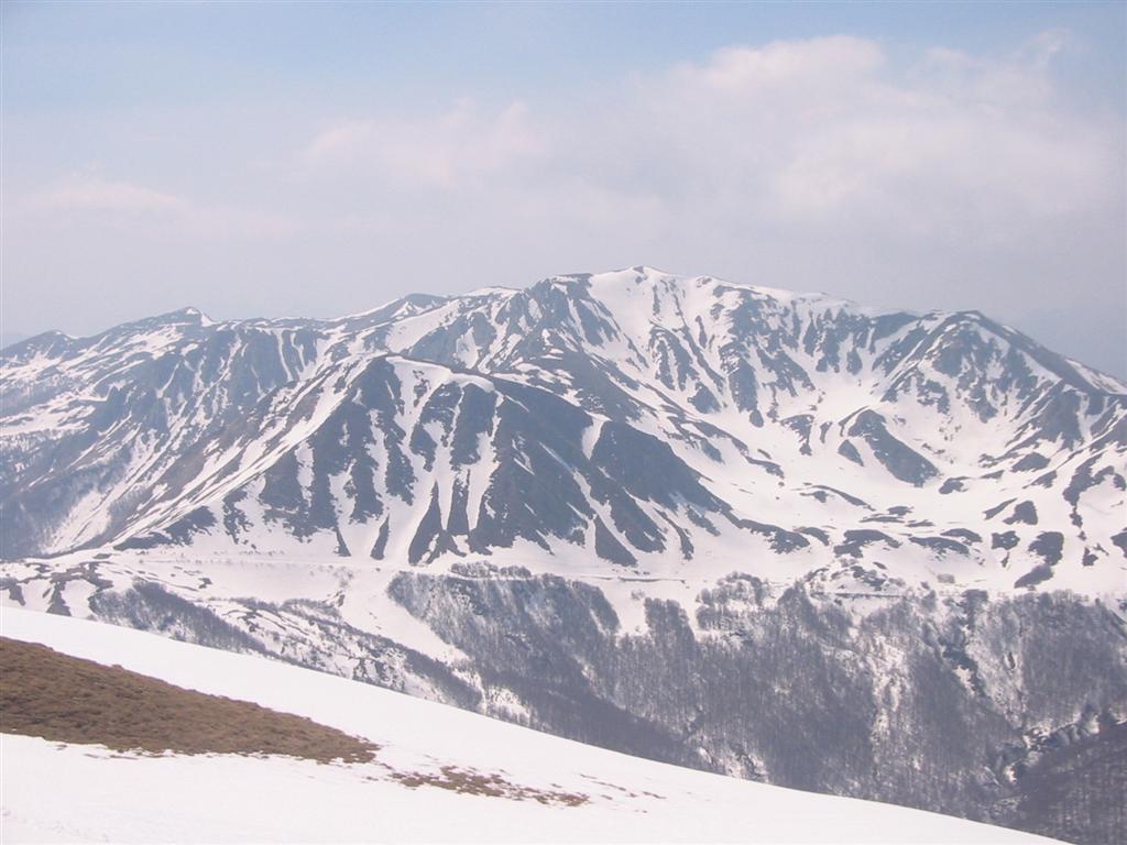
Monte Prado

Monte Prado
Monte Prado
Elevation 2,054 m (6,739 ft)
Location
Location Province of Reggio Emilia, province of Lucca,  Italy
Range Tuscan-Emilian Apennines
Coordinates 44°15′0″N 10°24′27″E / 44.25°N 10.4075°E / 44.25; 10.4075Coordinates: 44°15′0″N 10°24′27″E / 44.25°N 10.4075°E / 44.25; 10.4075

Monte Prado (or Prato) is a mountain in the northern Apennines, located in the trait between the Pradarena and Radici Passes, with an altitude of 2,054 m.

Monte Prado is right on the boundary between the province of Reggio Emilia and that of Lucca. The mountain is part of the National Park of the Appennino Tosco-Emiliano.


Wikimedia Foundation. 2010.

Игры ⚽ Нужно сделать НИР?

Look at other dictionaries:

  • Monte Prado — Monte Prado …   Wikipedia Español

  • Monte Prado — vom Monte Cusna Höhe 2.054  …   Deutsch Wikipedia

  • Monte Prado Hotel & Spa — (Melgaço,Португалия) Категория отеля: 4 звездочный отель Адрес: Monte Prado …   Каталог отелей

  • Monte Belo —   Municipality and town   Country  Brazil Region Southeast …   Wikipedia

  • Monte Sião —   Municipality and town   Country  Brazil Region Southeast …   Wikipedia

  • Prado (Melgaço) — Prado Wappen Karte …   Deutsch Wikipedia

  • Monte Santo, Bahia — Monte Santo (Bahia)   Municipality and town   Country  Brazil Region N …   Wikipedia

  • Monte Alegre dos Campos — is a municipality in the state Rio Grande do Sul, Brazil. See also List of municipalities in Rio Grande do Sul v …   Wikipedia

  • Monte Belo do Sul — is a municipality in the state Rio Grande do Sul, Brazil. See also List of municipalities in Rio Grande do Sul v …   Wikipedia

  • Monte Albán — Historic Centre of Oaxaca and Archaeological Site of Monte Albán * UNESCO World Heritage Site …   Wikipedia

Share the article and excerpts

Direct link
Do a right-click on the link above
and select “Copy Link”