- Mokřiny (Aš)
-
Mokřiny Village 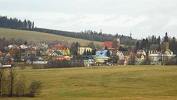
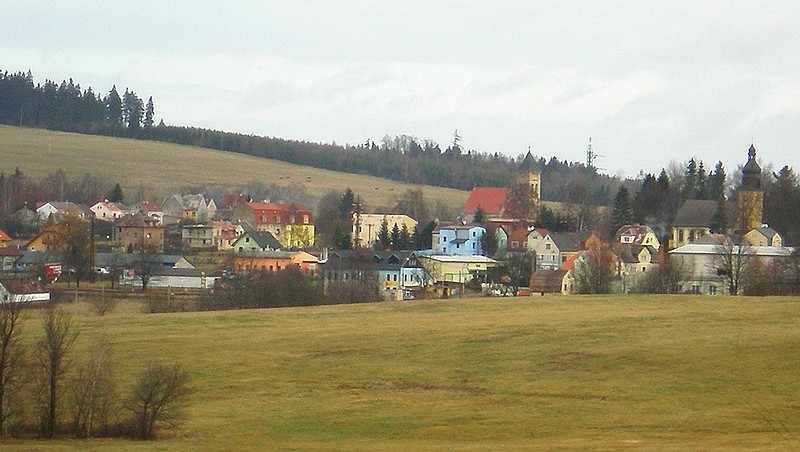
Official name: Mokřiny Country Czech Republic Region Karlovy Vary District Cheb Municipality Aš Coordinates 50°12′23″N 12°12′31″E / 50.20639°N 12.20861°E Area 3.41 km2 (1.3 sq mi) Population 530 (2001) Density 155 / km2 (401 / sq mi) First mentioned 1413 Timezone CET (UTC+1) - summer (DST) CEST (UTC+2) Postal code 35201 Wikimedia Commons: Mokřiny (Aš) Mokřiny (German: Nassengrub) is a village in Karlovy Vary Region, Czech Republic, and the second most populous town district of Aš. In 2001 the village had a population of 530.
Contents
Geography
Mokřiny is located to the south from Aš; unlike other town districts, it forms a continuous populated area with it. To the east it neighbours with Vernéřov, to the south with Nový Žďár, and to the southeast with Nebesa. To the west is the German border.
History
Mokřiny was established by the Zedtwitz, before 1413, when it is first mentioned. In 1874 Mokřiny became a separate municipality. In 1971 it was joined with Aš.
Progress of population of Mokřiny[1] Year 1850 1930 1947 1961 1970 2001 Population 244 1726 736 707 624 530 Landmarks
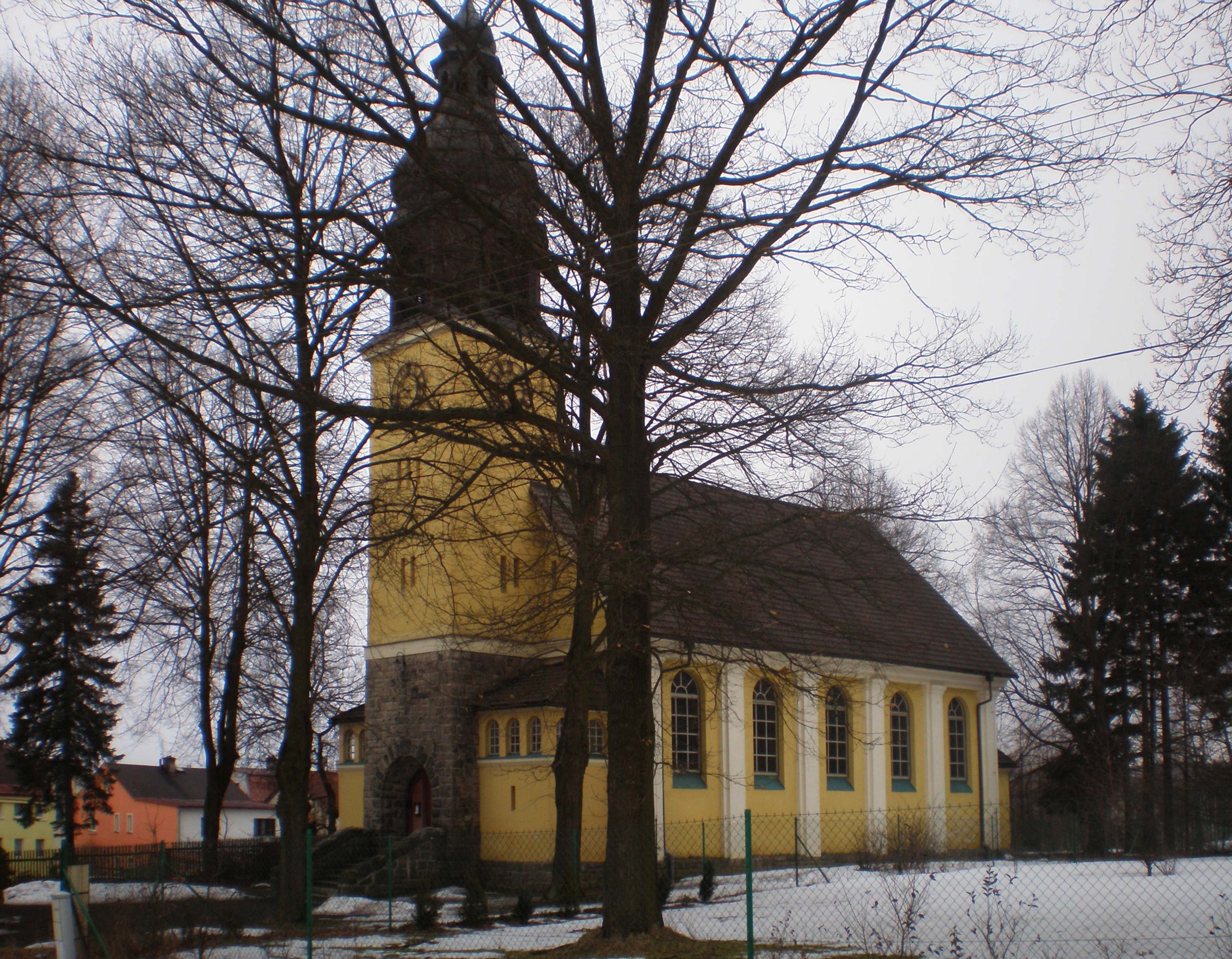
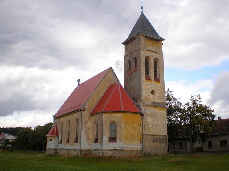
- Catholic church of St. Charles Borromeo from 1912,
- Protestant church from 1913 (from architect Otto Bartning),
- World War I Memorial from 1924.
Gallery
-
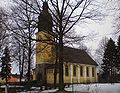
Evangelic church.
-

Church of St. Charles Borromeo.
References
- ^ Progress of population of Mokřiny between 1850 and 2001, according to: Obce Ašska v proměnách času, Kolektiv autorů, MÚ Aš (2005)
 Town of AšCategories:
- Aš
- Villages in the Czech Republic
Wikimedia Foundation. 2010.