- Dolní Paseky
-
Dolní Paseky Village  Pavilion of mineral well.
Official name: Dolní Paseky Country Czech Republic Region Karlovy Vary District Cheb Municipality Aš Elevation 507 m (1,663 ft) Coordinates 50°14′0″N 12°14′12″E / 50.233333°N 12.23667°E Area 6.36 km2 (2.5 sq mi) Population 39 (2001) Density 6 / km2 (16 / sq mi) First mentioned 1315 Timezone CET (UTC+1) - summer (DST) CEST (UTC+2) Postal code 35201 Wikimedia Commons: Dolní Paseky Dolní Paseky (German: Niederreuth) is a village in Karlovy Vary Region, Czech Republic. It is one of the nine town districts of Aš. In 2001 the village had a population of 39.
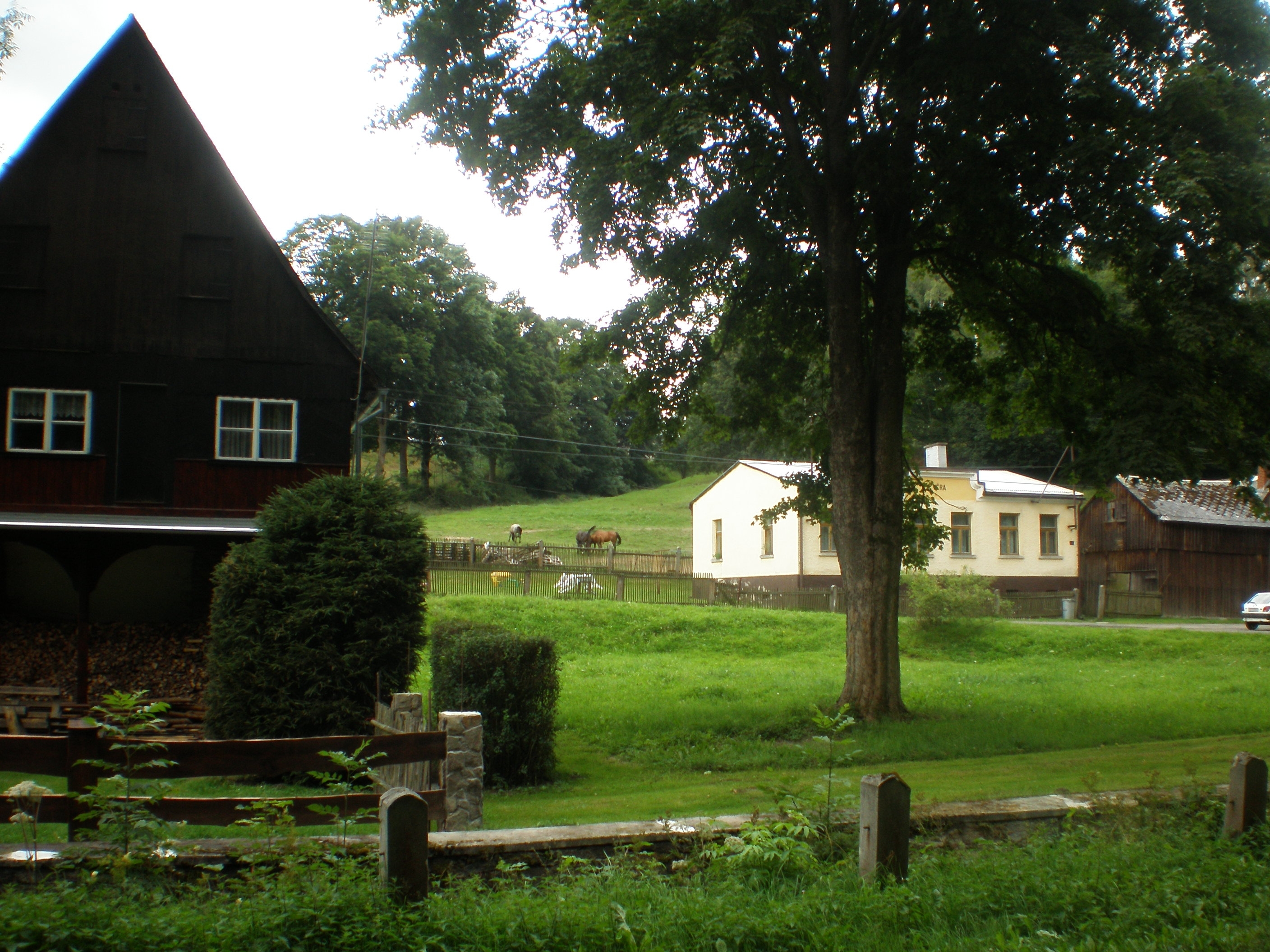
For most part, the village serves as a recreation area for whole Aš-region. A pavillon with a mineral spring, built in 1930, is located in the village.
Contents
Geography
Dolní Paseky lies 3 kilometres east from Aš, about 545 meters above sea level, and is surrounded by forests. Through village flows Bílý Halštrov river, and close is Bílý Halštrov reservoir.
History
Dolní Paseky is first time mentioned in 1315, but probably was founded earlier (in the 12th century). First recorded owners were the Nothafft. In the 15th century the village was bought by the Reitzenstein, and later by the Zedtwitz.
Progress of population of Dolní Paseky[1] Year 1850 1930 1947 1961 1970 2001 Population 591 578 210 101 64 39 The name of the village
Dolní mean Lower, and Paseky is plural for Paseka, which means Glade or Clearing. The German name, Niederreuth, has the same meaning as the Czech one.
Landmarks
- Wood-frame houses,
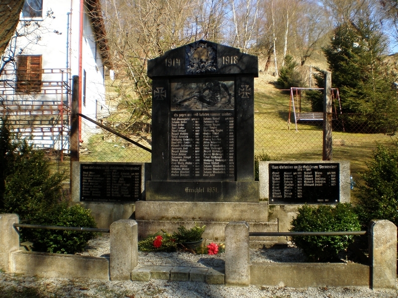
- World War I Memorial from 1931,
- school building from 1839,
- pavilion with a mineral spring.
Gallery
-
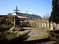
Old German cemetery.
-

WW1 & WW2 Memorial.
-
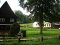
Houses.
References
- ^ Progress of population of Dolní Paseky between 1850 and 2001, according to: Obce Ašska v proměnách času, Kolektiv autorů, MÚ Aš (2005)
 Town of AšCategories:
- Aš
- Villages in the Czech Republic


Wikimedia Foundation. 2010.