- Mohlanapeng
-
Mohlanapeng — Community Council — Geographic Center of Community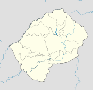
 Mohlanapeng
Coordinates: 29°41′51″S 28°41′41″E / 29.6975°S 28.69472°E Country  Lesotho
District Thaba-Tseka District Elevation[1] 7,146 ft (2,178 m) Population (2006) – Total 9,882 Time zone CAT (UTC+2) Coordinates computed from Lesotho Villages file.[2] Mohlanapeng is a community council located in the Thaba-Tseka District of Lesotho. Its population in 2006 was 9,882.[3]
Villages
The community of Mohlanapeng includes the villages of Bocheletsane, Ha Lekholoane, Ha Mokoto, Ha Moralibe, Ha Nakeli, Ha Ramatšeliso, Ha Ramoliehi, Ha Rantsimane, Ha Tšiu, Koma-Koma, Lihlabaneng, Linokong, Liphakoeng, Liqonong, Maboloka, Machaping, Makere, Makoabating, Malakeng, Manganeng, Matsaile, Mohlanapeng, Motorong, Pharahlahle, Sehaula, Setanteng, Taung and Tlaling.[4]
References
- ^ GTOPO30 via GeoNames. Retrieved 2010-12-09.
- ^ Google Earth Download Site Retrieved 2010-07-21.
- ^ Statoids.com
- ^ Lesotho Bureau of Statistics, Village List 2006.
External Links
Categories:- Populated places in Lesotho
- Thaba-Tseka District
- Lesotho geography stubs

Wikimedia Foundation. 2010.