- Mogilyane Peak
-
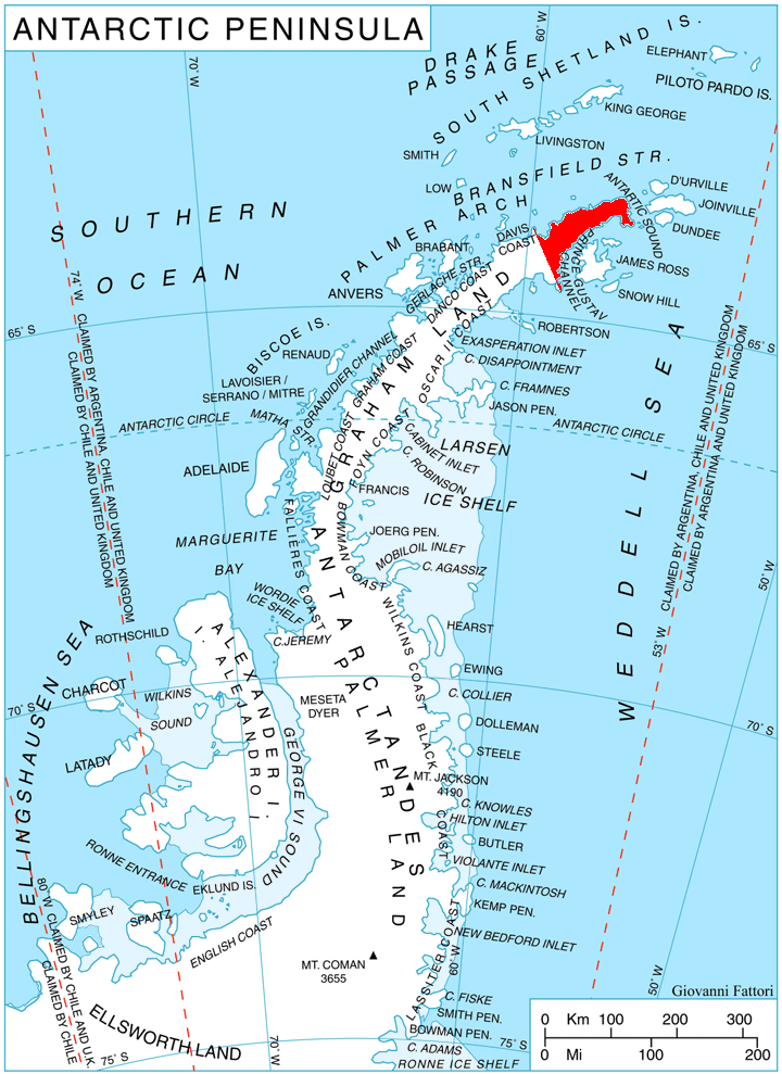
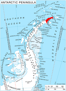 Location of Trinity Peninsula.
Mogilyane Peak (Bulgarian: връх Могиляне, ‘Vrah Mogilyane’ \'vr&h mo-'gi-lya-ne\) is the rocky peak rising to 850 m in Erul Heights on Trinity Peninsula in Graham Land, Antarctica. It is surmounting Cugnot Ice Piedmont to the northeast.
The peak is named after the settlement of Mogilyane in Southern Bulgaria.
Location
Mogilyane Peak is located at 63°41′13″S 58°23′01″W / 63.68694°S 58.38361°W, which is 1.92 km west-northwest of Coburg Peak, 1.83 km north of Lopyan Crag and 1.55 km east of Gigen Peak, 2.39 km southeast of Drenta Bluff on Louis-Philippe Plateau, and 4.23 km west-southwest of Chochoveni Nunatak. German-British mapping in 1996.
Map
- Trinity Peninsula. Scale 1:250000 topographic map. Institut für Angewandte Geodäsie and British Antarctic Survey, 1996.
References
This article includes information from the Antarctic Place-names Commission of Bulgaria which is used with permission.

This Trinity Peninsula, Antarctica, location article is a stub. You can help Wikipedia by expanding it.