- Mikulov Highlands
-
Mikulov Highlands Range  Mikulov Highlands from the north
Country Czech Republic State South Moravian Region Part of Carpathian Coordinates 48°52′00″N 16°38′30″E / 48.86667°N 16.641667°E Highest point Děvín - elevation 549 m (1,801 ft) Length 10 km (6 mi) The Mikulov Highlands (Czech: Mikulovská vrchovina) is a mountain range in South Moravia, Czech Republic. The Highlands, together with the Waschberg Zone and Lower Austria Inselberg threshold, form the South-Moravian Carpathians.
Geography
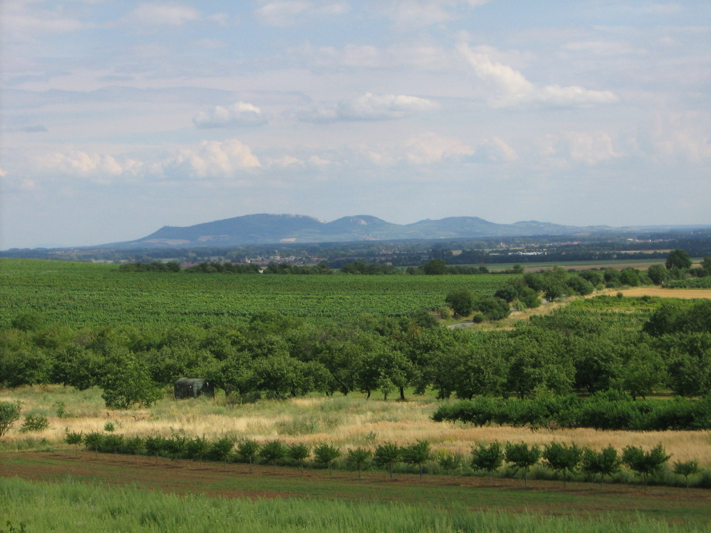
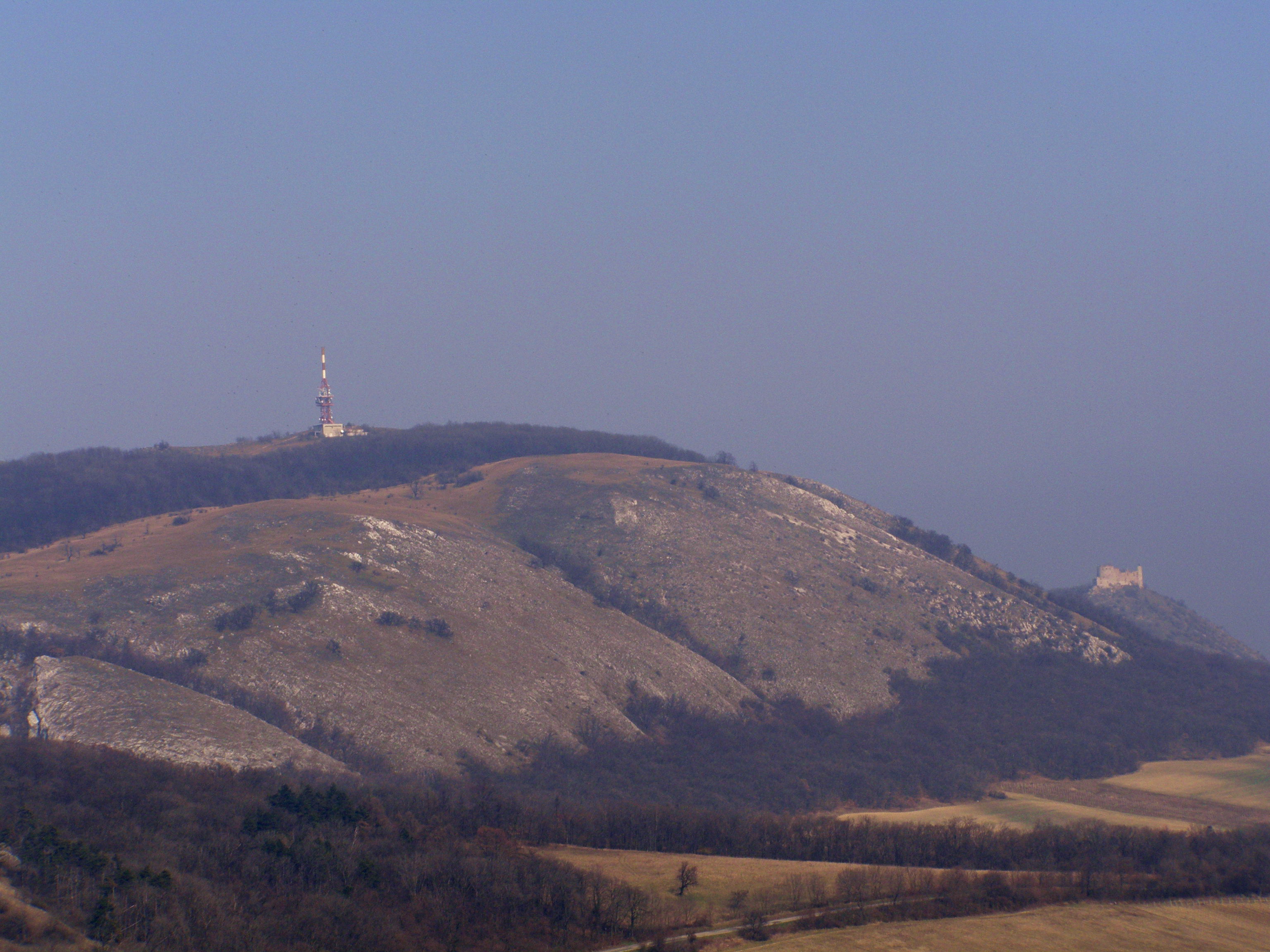
The Mikulov Highlands rise to the south of the Thaya between Nový Přerov, the reservoirs of Nové Mlýny, Bulhary, Mikulov, and the Austrian border. The Highlands have an area of 81 square kilometres (31 sq mi) and an average height of 263.4 metres (864 ft). The highest peak is Děvín at 549 metres (1,801 ft); other peaks are Obora (481 metres (1,578 ft)), Stolova hora (458 metres (1,503 ft)), Pálava (461 metres (1,512 ft)), Stará hora (351 metres (1,152 ft)), and Turold (385 metres (1,263 ft)).
To the north is the Thaya River valley, the natural border with Dolnomoravský Uval. To the east is the mountainous region between the Thaya and Včelínek, also from the Dolnomoravský Uval. To the southeast is the March Field, and to the southwest a ridge in Austria in the Waschberg Zone which forms the western border of the Thaya valley. Geomorphological subunits form Pálava (Pavlov Hills) and the hill country Milowitz (Milovická pahorkatina).
The mountain range is partly fenced and contains several vineyards that constitute part of wine sub-region (vinařská podoblast) Mikulovská. Most of the Highlands are, since 1976, part of the large nature reserve Pálava Landscape Protected Area and since 1986 registered by UNESCO as biosphere reserve Dolní Morava.
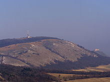 Devin, the highest elevation in the Mikulov Highlands.
References
- Geografický místopisný slovník, Academia, Praha, 1993. ISBN 80-200-0445-9

This South Moravian Region location article is a stub. You can help Wikipedia by expanding it.