- Miers Bluff
-
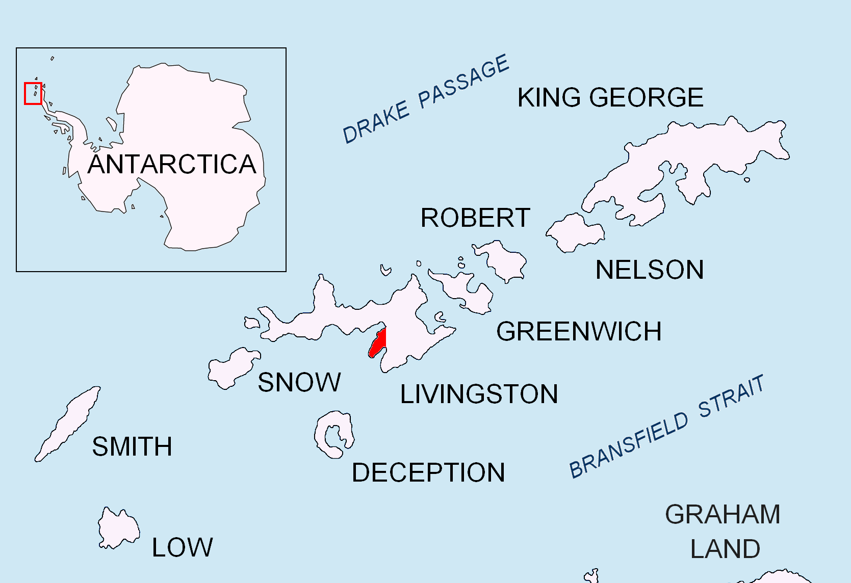
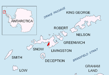 Location of Hurd Peninsula, Livingston Island in the South Shetland Islands.
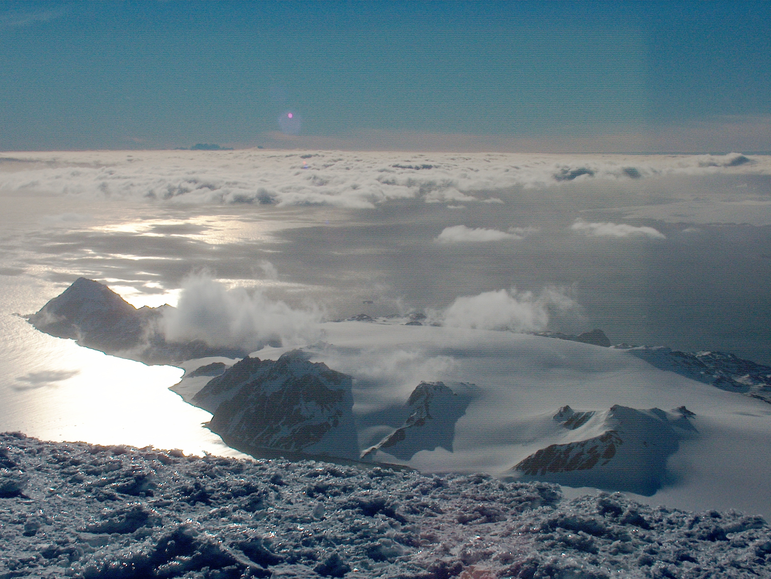
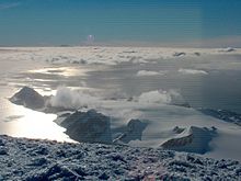 Miers Bluff (on the left) from Mount Friesland.
Miers Bluff is the point forming the southwest extremity of Hurd Peninsula, the southeast side of the entrance to South Bay and the northwest side of the entrance to False Bay in the South Shetland Islands, Antarctica.
The point is named after John Miers (1789–1879), British engineer and botanist travelled to Chile in 1818 and was responsible for the publication in 1820 of the first chart of the South Shetland Islands, based on the work of William Smith.
Location
The point is located at (62°43′14″S 60°26′03″W / 62.72056°S 60.43417°W) which 6.6 km northwest of Barnard Point, 11.5 km southeast of Hannah Point and 7.8 km southwest of Napier Peak (British mapping in 1968, detailed Spanish mapping in 1991, and Bulgarian mapping in 2005 and 2009).
Maps
- Isla Livingston: Península Hurd. Mapa topográfico de escala 1:25 000. Madrid: Servicio Geográfico del Ejército, 1991.
- L.L. Ivanov et al. Antarctica: Livingston Island and Greenwich Island, South Shetland Islands. Scale 1:100000 topographic map. Sofia: Antarctic Place-names Commission of Bulgaria, 2005.
- L.L. Ivanov. Antarctica: Livingston Island and Greenwich, Robert, Snow and Smith Islands. Scale 1:120000 topographic map. Troyan: Manfred Wörner Foundation, 2009. ISBN 978-954-92032-6-4
Reference
 This article incorporates public domain material from the United States Geological Survey document "Miers Bluff" (content from the Geographic Names Information System).
This Livingston Island location article is a stub. You can help Wikipedia by expanding it.